- Skihist Provincial Park
-
Skihist Provincial Park IUCN-Kategorie II 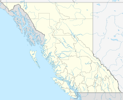

Lage: British Columbia (Kanada) Geographische Lage: 50° 15′ N, 121° 31′ W50.244444444444-121.51527777778Koordinaten: 50° 14′ 40″ N, 121° 30′ 55″ W Fläche: 3,86 km² Einrichtungsdatum: Verwaltungsbehörde: BC Parks 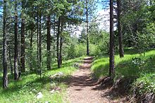 Wanderweg im Skihist Provincial Park
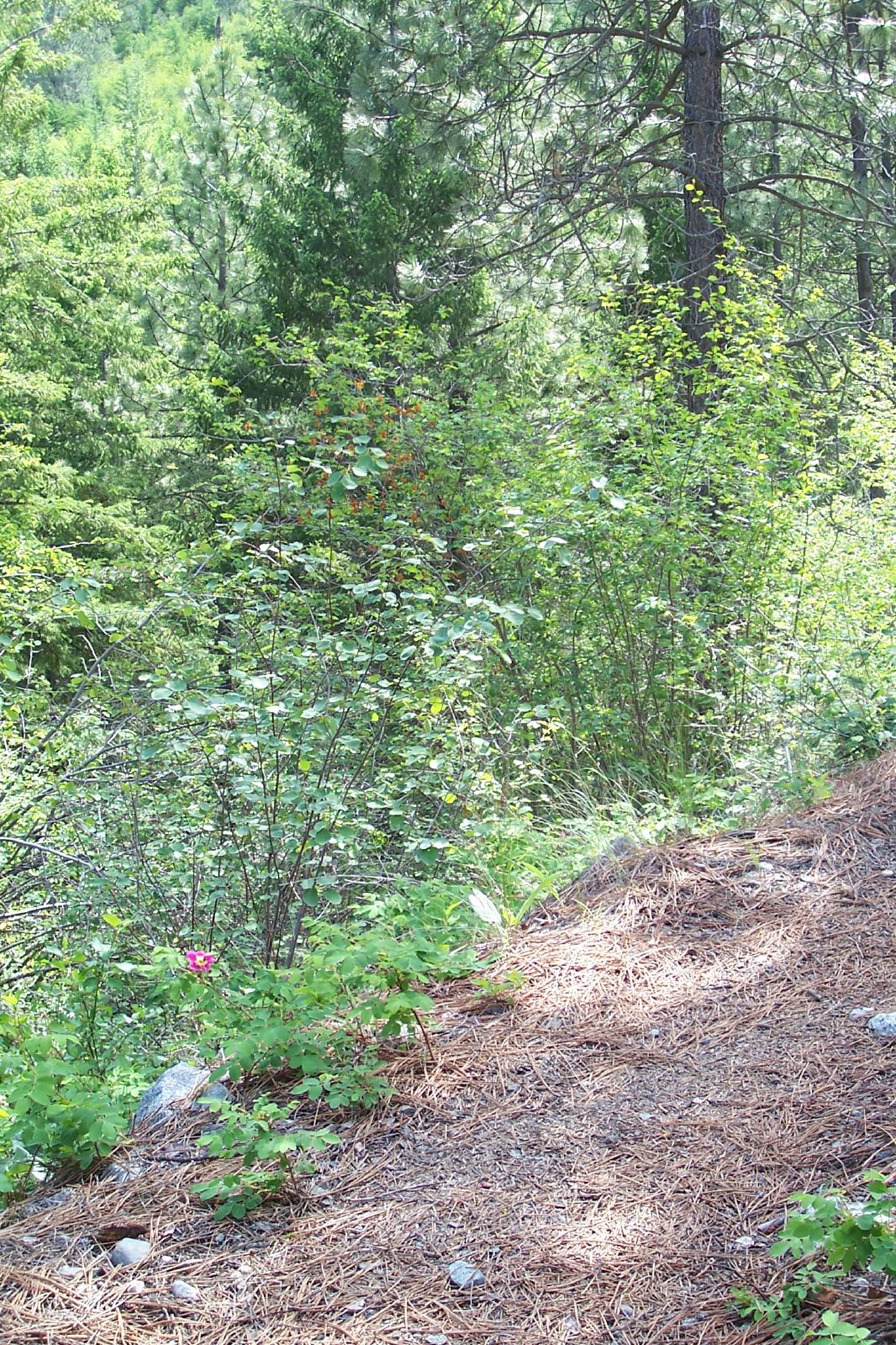
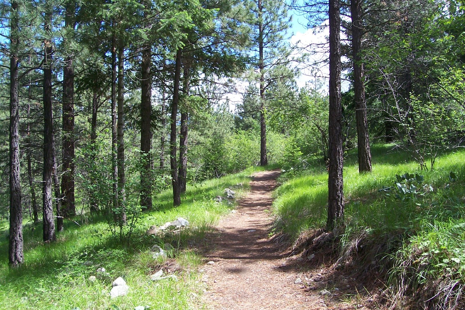
 Skihist Provincial Park
Der Skihist Provincial Park ist ein Provincial Park in der kanadischen Provinz British Columbia. Der 386 Hektar große Park liegt acht Kilometer östlich von Lytton am Trans-Canada-Highway im Thompson-Nicola Regional District.
Inhaltsverzeichnis
Anlage
Der Park liegt am Südufer im engen Flusstal des Thompson River. Der Trans-Canada-Highway teilt den Park in einen kleinen Picknickbereich am Flussufer und in den am Hang gelegenen Zeltplatz. Vom Zeltplatz aus starten zwei Wanderwege mit insgesamt acht Kilometer Länge, von denen einer zu einem Aussichtspunkt führt, während der andere ein Rundweg ist.
Geschichte
Im Park befindet sich ein Abschnitt der zwischen 1862 und 1865 erbauten Cariboo Wagon Road, die von Yale zu den Goldminen in den Cariboo Mountains führte. Der Park wurde am 16. März 1956 als Campingplatz für Reisende am Trans-Canada-Highway gegründet. Da dieser Highway-Abschnitt durch den in den 1980er Jahren gebauten Coquihalla Highway an Bedeutung verlor und der Campingplatz selbst nicht mehr modernen Standards entsprach, wurden der Campingplatz modernisiert und die Fläche des Parks am 19. Mai 2010 auf 386 Hektar vergrößert. Dadurch soll der Park für Campingurlauber, die Rafting auf dem Thompson River betreiben, angeln oder andere Freizeitaktivitäten ausüben wollen, attraktiver werden.
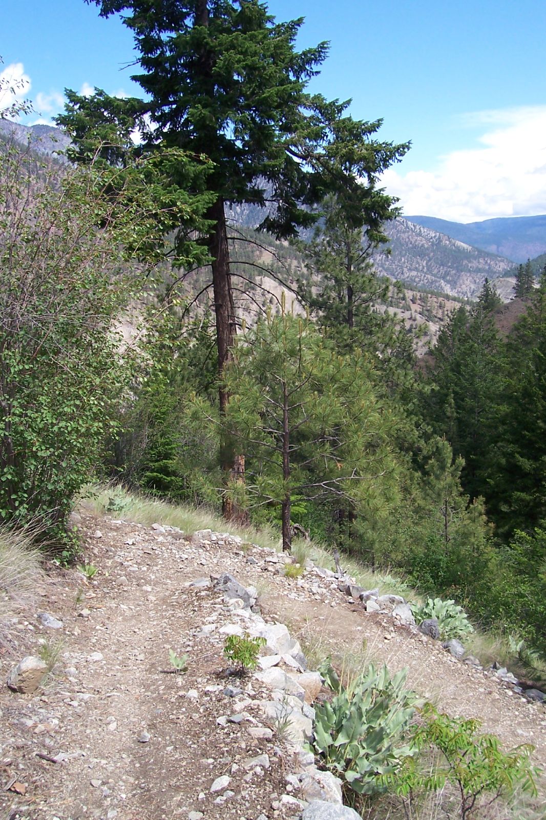
Natur
Der Park liegt im trockenen, warmen und niederschlagsarmen Inneren British Columbias. Der Park ist mit Gelb-Kiefern bewaldet. In der Region lebt eine Herde von Wapitis, außerdem kommen in den Bergen Dickhornschafe und Schwarzbären vor. Der Park ist ein ausgezeichneter Platz zur Vogelbeobachtung, laut Parkverwaltung kommen 29 Vogelarten im Parkgebiet vor.
Weblinks
 Commons: Skihist Provincial Park – Sammlung von Bildern, Videos und AudiodateienKategorie:
- Provincial Park in British Columbia

Wikimedia Foundation.