- Solčany
-
Solčany
Wappen Karte 
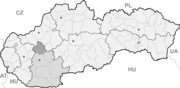

Solčany BasisdatenKraj: Nitriansky kraj Okres: Topoľčany Region: Nitra Fläche: 20,017 km² Einwohner: 2.554 (31. Dez. 2010) Bevölkerungsdichte: 127,59 Einwohner je km² Höhe: 211 m n.m. Postleitzahl: 956 17 Telefonvorwahl: 0 38 Geographische Lage: 48° 32′ N, 18° 12′ O48.537518.2211Koordinaten: 48° 32′ 15″ N, 18° 12′ 0″ O Kfz-Kennzeichen: TO Gemeindekennziffer: 505498 StrukturGemeindeart: Gemeinde Verwaltung (Stand: November 2010)Bürgermeister: Juraj Soboňa Adresse: Obecný úrad Solčany
Hviezdoslavova 50
95617 SolčanyWebpräsenz: www.obecsolcany.sk Gemeindeinformation
auf portal.gov.skStatistikinformation
auf statistics.skSolčany (1927 bis 1948 slowakisch „Selčany“; ungarisch Szolcsány) ist eine Gemeinde in der Westslowakei. Sie befindet sich zwischen dem Fluss Nitra im Westen und dem Gebirge Tribeč im Osten. Die (ehemalige) Bezirksstadt Topoľčany liegt 3 km nach Nordwesten.
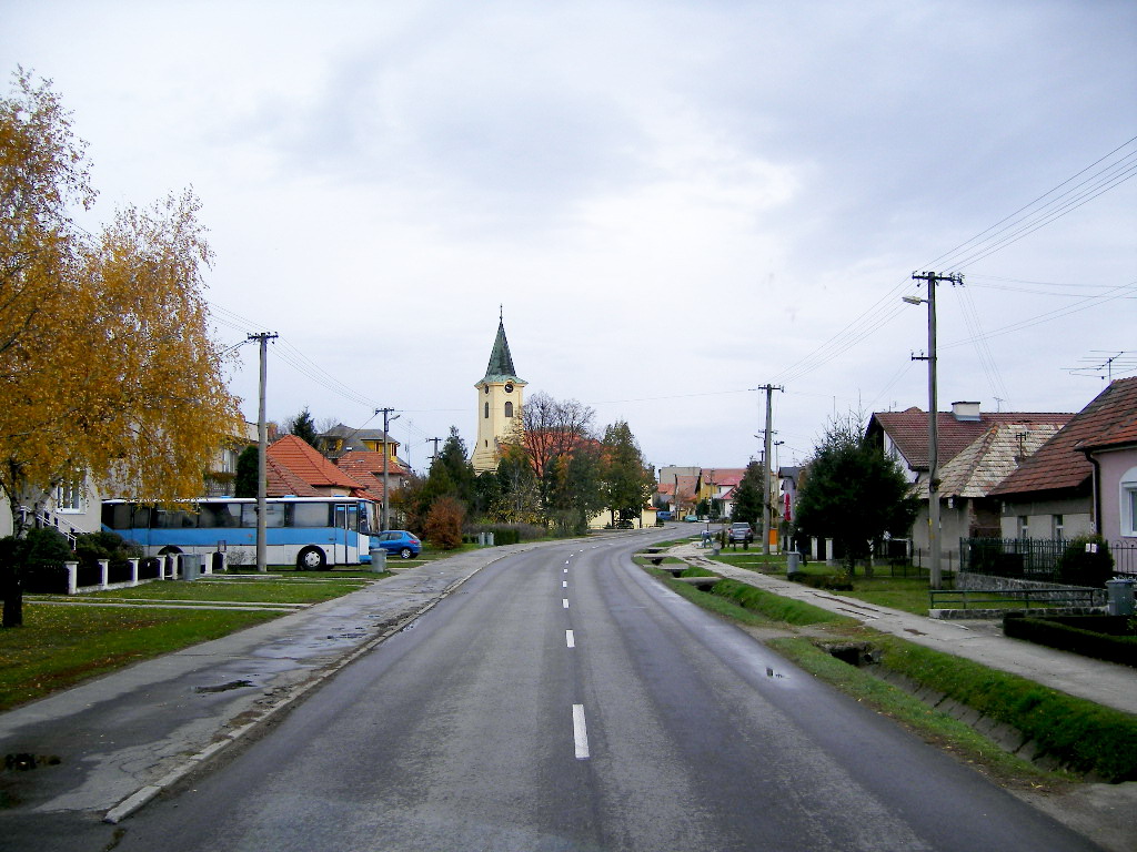
 Blick auf die Hauptstraße
Die Gemeinde wurde zum ersten Mal 1235 als Scelchan schriftlich erwähnt.
Persönlichkeiten
- Anton Ondruš, ehemaliger slowakischer Fußballspieler
Weblinks
 Commons: Solčany – Sammlung von Bildern, Videos und AudiodateienGemeinden im Okres Topoľčany
Ardanovce (Ardanowitz) | Belince (Bellinz) | Biskupová | Blesovce (Blesowitz) | Bojná | Čeľadince | Čermany (Tscherman) | Dvorany nad Nitrou | Hajná Nová Ves | Horné Chlebany (Oberhelbing) | Horné Obdokovce | Horné Štitáre | Hrušovany (Hruschowan) | Chrabrany | Jacovce (Jatzowitz) | Kamanová | Koniarovce (Lowasowitz) | Kovarce (Kowarz) | Krnča (Krentz) | Krtovce | Krušovce | Kuzmice | Lipovník | Ludanice (Ludanitz) | Lužany | Malé Ripňany (Kleinrippen) | Nemčice (Nemschitz) | Nemečky | Nitrianska Blatnica | Nitrianska Streda | Norovce (Norowitz) | Oponice (Apponitz) | Orešany (Windischnußdorf) | Podhradie | Prašice (Praschitze) | Práznovce (Prasnowitz) | Preseľany | Radošina (Radoschin) | Rajčany | Solčany | Solčianky | Súlovce (Sulowitz) | Svrbice | Šalgovce (Salgowitz) | Tesáre | Topoľčany (Topoltschan) | Tovarníky | Tvrdomestice | Urmince (Uerminz) | Velušovce | Veľké Dvorany (Großdoworan) | Veľké Ripňany (Großrippen) | Vozokany | Závada
Wikimedia Foundation.
Schlagen Sie auch in anderen Wörterbüchern nach:
Solčany — is a municipality in the Topoľčany District of the Nitra Region, Slovakia … Wikipedia
Solčany — Šalgovce (Village) Administration Pays Slovaquie … Wikipédia en Français
Anton Ondrus — Anton Ondruš Spielerinformationen Geburtstag 27. März 1950 Geburtsort Solčany, Tschechoslowakei Position Abwehrspieler Vereine in der Jugend 1959–1970 Slovan Bratislava … Deutsch Wikipedia
Anton Ondruš — Anton Ondruš Spielerinformationen Geburtstag 27. März 1950 Geburtsort Solčany, Tschechoslowakei Position Abwehrspieler Vereine in der Jugend … Deutsch Wikipedia
District de Topoľčany — 48°33′30″N 18°12′24″E / 48.55833, 18.20667 … Wikipédia en Français
Nitra Region — Coordinates: 48°18′25″N 18°05′11″E / 48.30694°N 18.08639°E / 48.30694; 18.08639 … Wikipedia
Topoľčany — Coordinates: 48°33′15″N 18°10′37″E / 48.55417°N 18.17694°E / 48.55417; 18.17694 … Wikipedia
Topoľčany District — District Country Slovakia Region … Wikipedia
Anton Ondruš — (born 27 March, 1950 in Solčany, Czechoslovakia) is a former Slovak football player. He played 58 matches for Czechoslovakia and scored 9 goals. He was a participant at the 1976 UEFA European Championship, where Czechoslovakia won the gold medal … Wikipedia
List of municipalities and towns in Slovakia — Slovakia This is a comprehensive list of municipalities and towns in Slovakia. For lists of towns and municipalities sorted by Regions see the individual articles on Regions. For an outdated list of towns only in Slovakia see also List of towns… … Wikipedia
Solčany

18+
© Academic, 2000-2026
- Kontaktieren Sie uns: Unterstützung, Werbung
Wörterbücher Export, schritte mit PHP, Joomla, Drupal, WordPress, MODx.