Store Koldewey

Store Koldewey

Vorlage:Infobox Insel/Wartung/Bild fehlt

Store Koldewey
Gewässer Grönlandsee
Geographische Lage 76° 22′ N, 18° 48′ W76.366666666667-18.791666666667971Koordinaten: 76° 22′ N, 18° 48′ W
Store Koldewey (Grönland)
Store Koldewey
Länge 65 km
Breite 10 km
Fläche 615 km²
Höchste Erhebung 971 m
Einwohner (unbewohnt)

Store Koldewey (deutsch „Groß Koldewey“) ist eine vergleichsweise große Insel vor der Ostküste Grönlands in der Grönlandsee. Administrativ gehörte sie bis Ende 2008 zur Provinz Tunu/Østgrønland („Ostgrönland“), seit 2009 zum gemeindefreien Gebiet des Nordost-Grönland-Nationalparks. Sie ist benannt nach Carl Koldewey, der die Region im Rahmen der Deutschen Nordpolarexpedition 1869–1870 erforschte.

Geographie

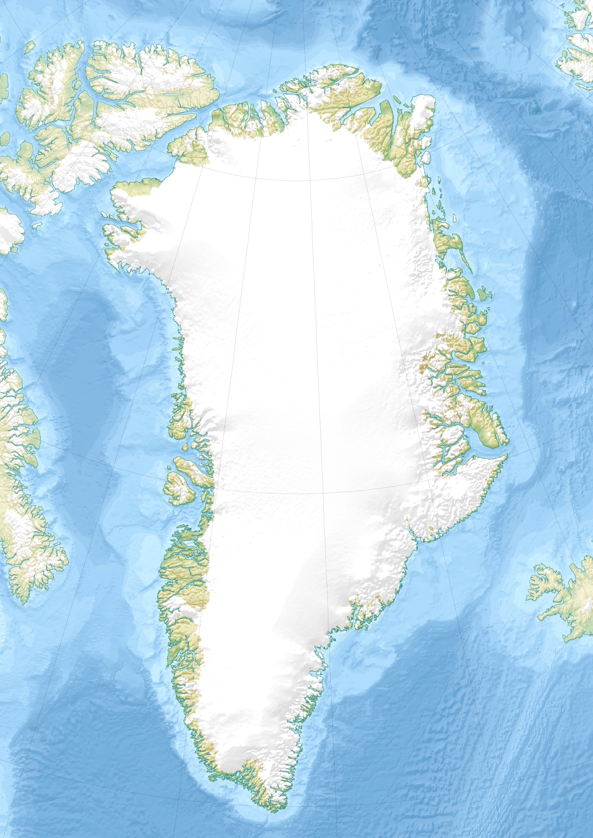
Die unbewohnte Insel liegt 10 km südlich der Halbinsel Germanialand und bildet dabei die östliche Grenze der rund 50 km breiten mit zahlreichen Inseln durchsetzten Dove-Bucht (Dove Bugt). Von der Insel Shannon im Süden ist Store Koldewey rund 60 km entfernt. Die langgestreckte Insel ist in Nord-Süd-Richtung 65 km lang, in Ost-West-Richtung aber nur maximal 10 km breit. Sie weist eine Fläche von 615 km² auf[1] und erreicht eine Höhe von 971 m über dem Meer.[2]

Siehe auch

Einzelnachweise

  1. Gazetteer of Greenland - Islands (englisch)
  2. UNEP Islands Directory (englisch)

Wikimedia Foundation.

Игры ⚽ Нужно решить контрольную?

Schlagen Sie auch in anderen Wörterbüchern nach:

  • Store Koldewey — Isla Store Koldewey Store Koldewey Ø Localización País  Dinamarca Territorio Groenlandia …   Wikipedia Español

  • Store Koldewey — Infobox Islands name = Store Koldewey image caption = image size = locator native name = Store Koldewey native name link = Danish language nickname = location = East Greenland coordinates = coord|76|15|N|18|45|W|type:isle|display=inline,title… …   Wikipedia

  • Liste des îles du Groenland — Géographie du Groenland. Cet article recense les îles du Groenland par ordre alphabétique. Toutes ces îles ont été traduites en français. Sommaire 1 Liste par superfic …   Wikipédia en Français

  • German North Polar Expedition — was a short series of mid 19th century German expeditions to the Arctic. The aim was to explore the North Polar Region and to brand the newly united, Prussian led German Empire as a great power. In 1866, the German geographer August Petermann… …   Wikipedia

  • Islas por superficie — Anexo:Islas por superficie Saltar a navegación, búsqueda st. Aunque una isla es, en general, cualquier masa de tierra que esté completamente rodeada de agua, normalmente se suele excluir las masas de tierra lo suficientemente grandes como para… …   Wikipedia Español

  • Anexo:Islas por superficie — Aunque una isla es, en general, cualquier masa de tierra que esté completamente rodeada de agua, normalmente se suelen excluir las masas de tierra lo suficientemente grandes como para ser consideradas continentes. Al clasificar a Australia como… …   Wikipedia Español

  • Liste grönländischer Inseln — Dies ist eine Liste grönländischer Inseln Grönländischer Name der Insel Dänischer Name der Insel Geo Koordinaten Großkommune Fläche [km²] Bevölkerung (01.01.2005) Alluttoq oder Agdlugtoq Arveprinsen Ejland !448.8833335569.7166675 …   Deutsch Wikipedia

  • Ny-Alesund — Ny Ålesund Hilfe zu Wappen …   Deutsch Wikipedia

  • Ny Alesund — Ny Ålesund Hilfe zu Wappen …   Deutsch Wikipedia

  • Ny Ålesund — Hilfe zu Wappen …   Deutsch Wikipedia

Share the article and excerpts

Direct link
Do a right-click on the link above
and select “Copy Link”