- Tana Beles
-
Tana Beles
Bild gesucht
Zuflüsse: Tana-See Abflüsse: Beles 

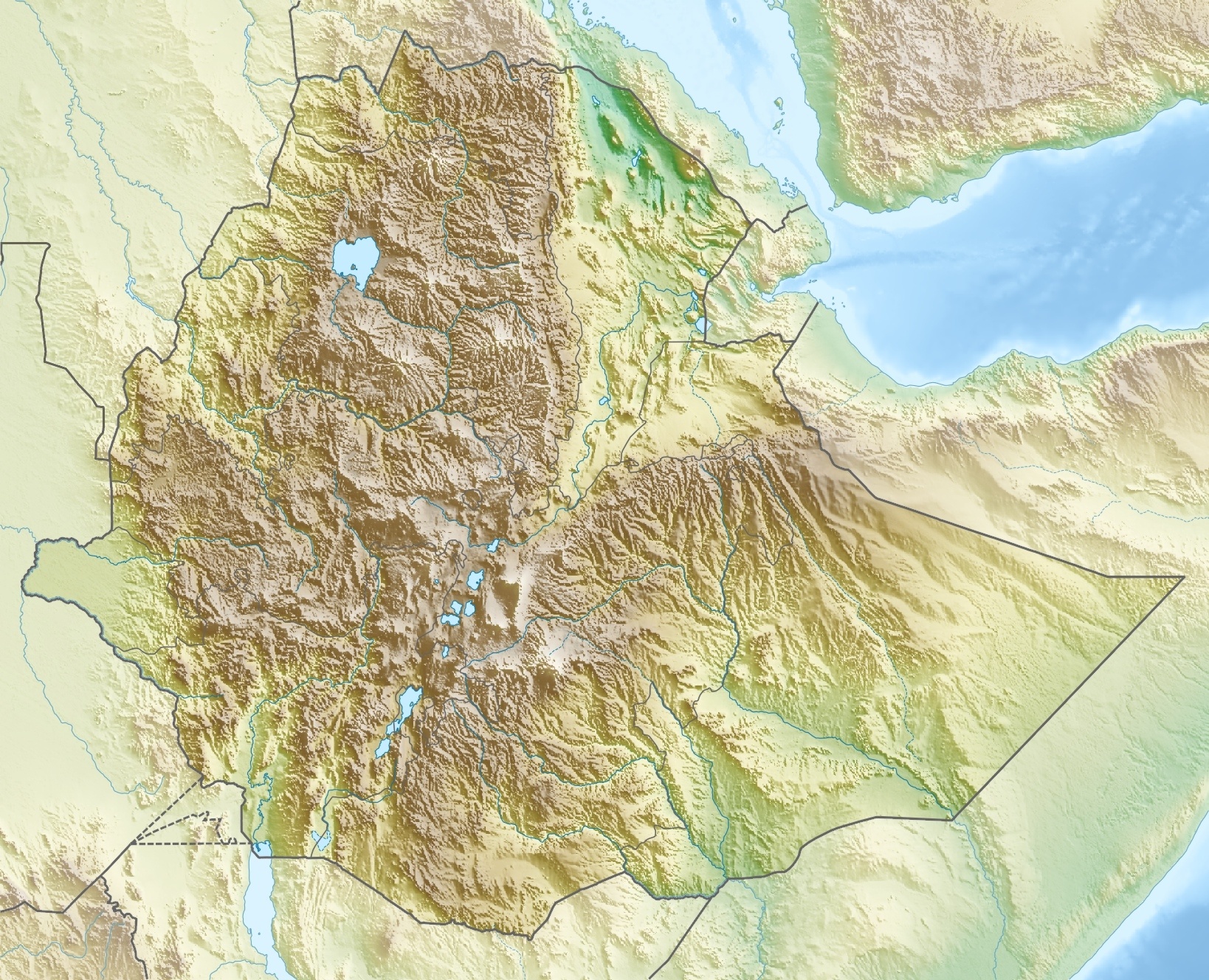
Koordinaten 11° 49′ 10″ N, 36° 55′ 8″ O11.81944444444436.918888888889Koordinaten: 11° 49′ 10″ N, 36° 55′ 8″ O Daten zum Bauwerk Bauzeit: 2006–2010 Kraftwerksleistung: 460 MW Betreiber: Ethiopian Electric Power Corporation Tana Beles ist ein neu erbautes Wasserkraftwerk in Äthiopien. Es steht am Fluss Beles, einem Zufluss des Blauen Nils, nahe beim Tanasee, und 370 km nördlich von Addis Abeba. Das Wasserkraftwerk ging im Mai 2010 mit der ersten von vier Turbinen von je 115 MW in Betrieb. Das Wasser fließt den Turbinen durch einen 20 km langen Druckstollen aus dem Tana-See zu. Die hydraulische Fallhöhe ist 275 m. Mit dem Wasser sollen außerdem 140.000 Hektar landwirtschaftliche Fläche bewässert werden.
Die Baufirma war die italienische Salini Costruttori S.P.A. wie auch beim Bau von Gilgel Gibe III am Omo. Die Baukosten betrugen 7,1 Milliarden Birr oder 70 Millionen Euro.
Zwei weitere Wasserkraftwerke wurden im selben Jahr in Äthiopien schon eingeweiht: Tekeze (400 MW) und Gilgel Gibe II (320 MW).
Siehe auch
- Liste der größten Talsperren der Erde
- Liste der größten Stauseen der Erde
- Liste der größten Wasserkraftwerke der Erde
- Liste von Talsperren der Welt
Weblinks
- Ethiopia: Tana Beles, a multi-purpose Hydro-power Plant, Inaugurated
- Tana-Beles Tunnelled!
- Tana Beles hydropower to start generation in five months (Stand 11. November 2009)
- Technische Daten von der Baufirma pdf-Datei, 251 kB
- Bericht über die Tunnelbauarbeiten pdf-Datei, 2097 kB
Kategorien:- See in Äthiopien
- Stausee in Afrika
- Flusssystem Nil
- Bauwerk in Äthiopien
- Speicherkraftwerk in Afrika
Wikimedia Foundation.