- Tegua
-
Tegua Karte der Torres-Inseln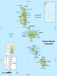
Tegua in der BildmitteGewässer Korallenmeer Inselgruppe Torres-Inseln Geographische Lage 13° 14′ 38″ S, 166° 37′ 37″ O-13.243888888889166.62694444444300Koordinaten: 13° 14′ 38″ S, 166° 37′ 37″ O 

Fläche 30,7 km² Höchste Erhebung Tawaten
300 mEinwohner 58 (2009)
1,9 Einw./km²Hauptort Lateu Tegua (auch Middle Island) ist eine 30,7 km² große Insel des pazifischen Inselstaats Vanuatu. Sie ist die mittlere der Torres-Inseln, die geopolitisch zur vanuatuischen Provinz Torba zählen.
Tegua hatte im Jahr 2009 58 Einwohner. Der Hauptort ist Lateu. Der Gipfel des Tawaten erreicht eine Höhe von 300 m.
600 Meter vor Teguas Westküste liegt das unbewohnte Inselchen Ngwel.
Schlagen Sie auch in anderen Wörterbüchern nach:
Tegua — Tugue Carte des îles Torres. Tegua est la plus au centre. Géographie Pays … Wikipédia en Français
Tegua — is an island in Vanuatu s Torres Islands chain. About 100 residents of Tegua were evacuated by the government because rising sea levels were flooding their island. The flooding is thought to be linked to global warming.fact|date=January 2008One… … Wikipedia
tegua — tegua. adj. Col. Dicho de un profesional o de un artesano: inhábil. U. t. c. s. || 2. m. Col. curandero … Enciclopedia Universal
tegua — 1. adj. Col. Dicho de un profesional o de un artesano: inhábil. U. t. c. s.) 2. m. Col. curandero … Diccionario de la lengua española
tegua — te·gua (tāʹgwä, tāʹwä) n. An ankle high moccasin worn in parts of Mexico and the Southwest. [Origin unknown.] * * * … Universalium
tegua — curandero … Colombianismos
tegua — te·gua … English syllables
tegua — ˈtāgwə noun ( s) Etymology: Keresan : an ankle high rawhide moccasin of the southwestern United States and Mexico … Useful english dictionary
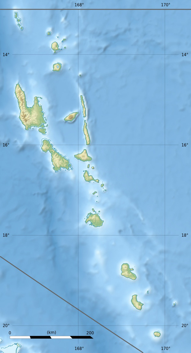
Torres Islands — For the island group between Australia and New Guinea, see Torres Strait Islands. Coordinates: 13°15′S 166°37′E / 13.25°S 166.617°E / … Wikipedia
Islas Torres — No debe confundirse con Islas de Torres (Uruguay) o Islas del Estrecho de Torres (Australia). Islas Torres (Torres Islands) Localización geográfica / administrativa Océano (mar) Océano Pacíf … Wikipedia Español
Tegua

18+
© Academic, 2000-2024
- Kontaktieren Sie uns: Unterstützung, Werbung
Wörterbücher Export, schritte mit PHP, Joomla, Drupal, WordPress, MODx.