- Western Brook Pond
-
49.768888888889-57.820555555556Koordinaten: 49° 46′ 8″ N, 57° 49′ 14″ W

Western Brook Pond 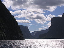 Der Western Brook Pond mit den Pissing Mare Falls im Hintergrund
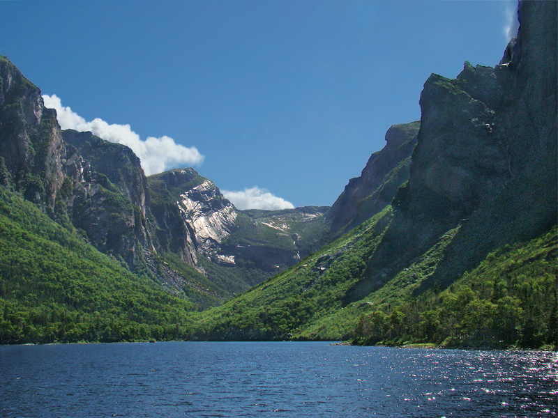
 Western Brook Pond, vom Wanderpfad aus gesehen
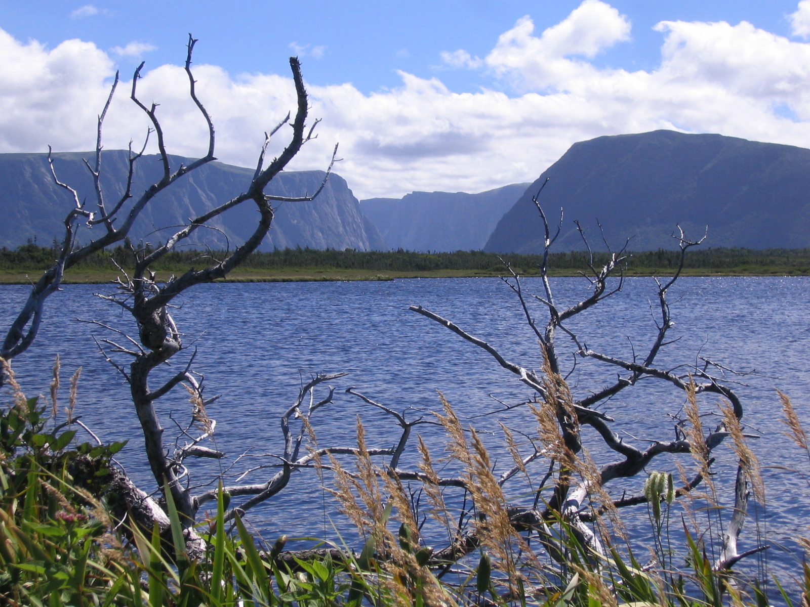
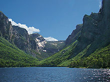 Östliches Ende des Fjords
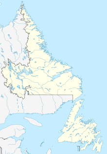
Der Western Brook Pond ist ein Fjord mit vorgelagertem See im Gros-Morne-Nationalpark im Westen der Insel Neufundland (NL, Kanada).
Inhaltsverzeichnis
Geographie und Entstehung
Der Fjord ist 16 km lang und bis zu 165 m tief. Das umgebende Bergmassiv ist bis zu 600 m hoch. Die Pissing Mare Falls, der zweithöchste Wasserfall in Kanada und Platz 199 der höchsten Wasserfälle der Erde (siehe auch Liste der bekannten Wasserfälle), münden in den Western Brook Pond.
Der Western Brook Pond wurde in der Zeit von vor etwa 25.000 bis 10.000 Jahren während der Eiszeit durch Gletscher geformt. Nachdem diese schmolzen, verlor der Fjord die Verbindung zum offenen Meer. Der Fjord ist heute mit einem der reinsten Süßwasser der Erde gefüllt.
Flora
Der Fjord ist über einen befestigten, 3 km langen Holzpfad erreichbar, der durch eine Moorlandschaft führt. Hier sind unter anderem fleischfressende Pflanzen wie Schlauchpflanze, Sonnentau oder Fettkraut zu finden.
Tourismus
Der Western Brook Pond kann in der Sommersaison (Juni bis Oktober) per Boot besichtigt werden. Ein ortsansässiger Schiffsbetreiber stellt hierfür zwei Boote bereit, von denen das eine Boot 70, das andere maximal 90 Personen transportieren kann.
Bei einer Bootstour ist es auch möglich, am Ende des Fjords das Boot zu verlassen und dort das Bergmassiv hinauf zu wandern.
Trivia
- Nachdem Teile des umgebenden Bergmassivs in den Fjord herab gebrochen sind, kam es Anfang des 20. Jahrhunderts zu einem 30 m hohen Tsunami.[1]
- Die Besichtigungsboote im Fjord mussten ganz oder in Einzelteilen per Helikopter in die Fjordbucht eingeflogen werden, da das Gelände rundherum per Landweg nicht befahrbar ist.
Literatur
- Frommer’s Newfoundland & Labrador, S. 176, ISBN 0-470-83223-1
Einzelnachweise
- ↑ Alan Ruffman; P.Geo: Atlantic Tsunamis: "Like a River Returning". Maritime Museum of the Atlantic. Abgerufen am 14. März 2010.


Wikimedia Foundation.