- Wrights Hill Fortress
-
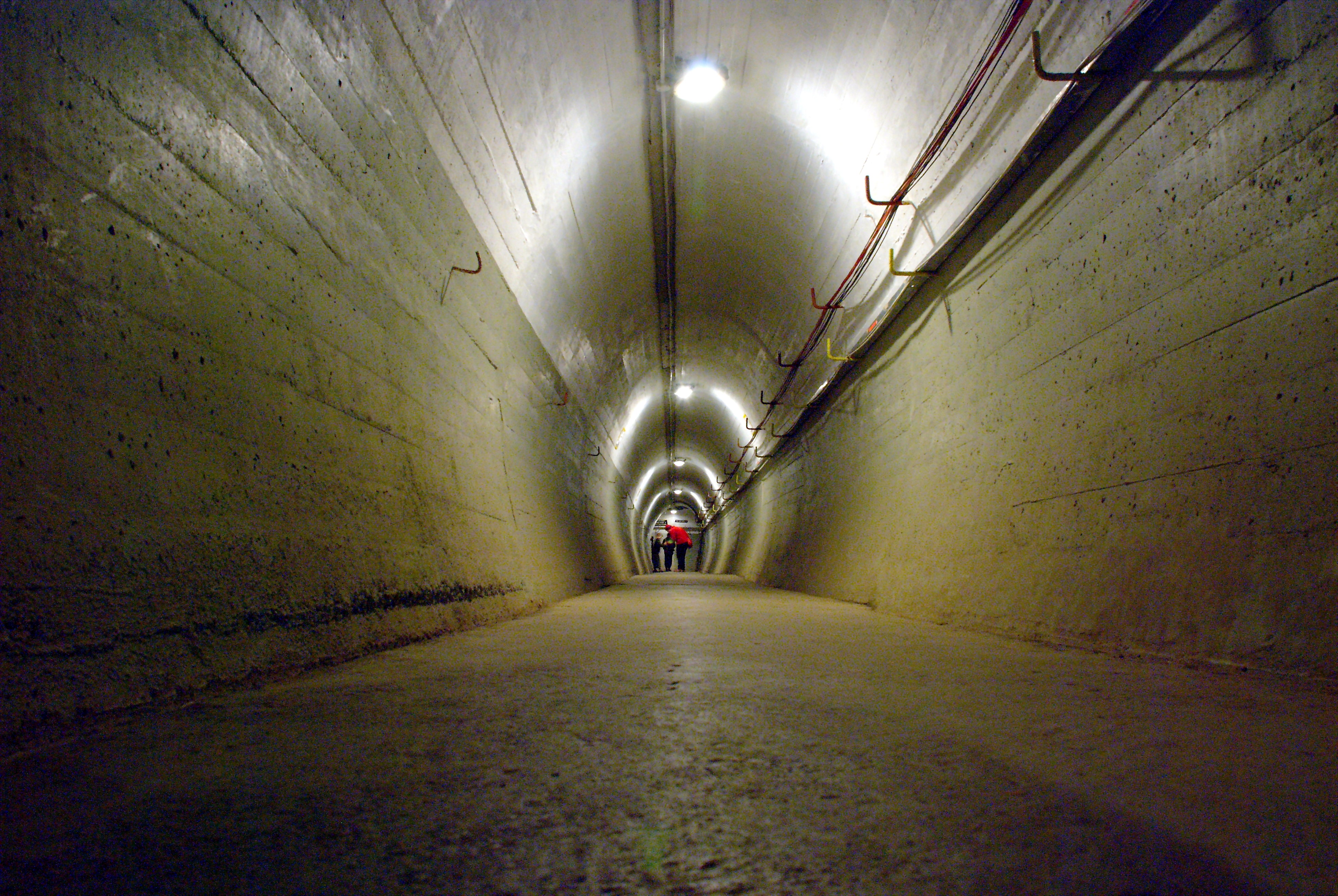
 Tunnel der Festung
Wrights Hill Fortress ist eine befestigte Küstenartilleriestellung im Vorort Karori von Wellington in Neuseeland.
Die Anlage wurde zwischen 1942 und 1947 erbaut und befindet sich größtenteils unter der Erde. Zahlreiche Tunnel verbinden Unterstände, Geschützstellungen, Lager, Räume zur Lagedarstellung und Maschinenraum. Teile der Anlage befinden sich 15 m unter der Erde. Die Befestigung sollte drei 9.2" Mk. XV-Geschütze beherbergen, eingebaut wurden nur zwei. Das Fort wurde nie im Kampf aktiv. Nach dem 2. Weltkrieg wurden beide Geschütze je dreimal probeweise abgefeuert, Geschütz Nummer eins 1946 und Geschütz Nummer zwei 1947. Der Einschlag der Geschosse in der Cookstraße wurde beobachtet und die Testschüsse als Erfolg gewertet. 1960 wurden beide Geschütze als Schrott verkauft - ironischerweise an Japaner, die einzige Nation, gegen die diese Geschütze Wellington verteidigen sollten. Der Aufbau des Forts ist ähnlich wie bei Stony Batter und der Stellung auf der Whangaparaoa Peninsula bei Auckland mit dem gleichen Geschütztyp.
Die Wrights Hill Fortress wird von der Wrights Hill Fortress Restoration Society verwaltet und ist an den neuseeländischen Feiertagen Waitangi Day, ANZAC Day, dem Geburtstag der Königin und dem Labour Day sowie nach Voranmeldung zugänglich. Die Festung ist in Neuseeland als Category I Historic Place eingestuft.[1]
Quellen
- ↑ Register of Historic Places. New Zealand Historic Places Trust. Abgerufen am 8. Juli 2008.
Weblinks
-41.3174.73Koordinaten: 41° 18′ 0″ S, 174° 43′ 48″ OKategorien:- Bauwerk in Neuseeland
- Wellington
- Festung
- Historic Place der Kategorie I
- Erbaut in den 1940er Jahren
Wikimedia Foundation.