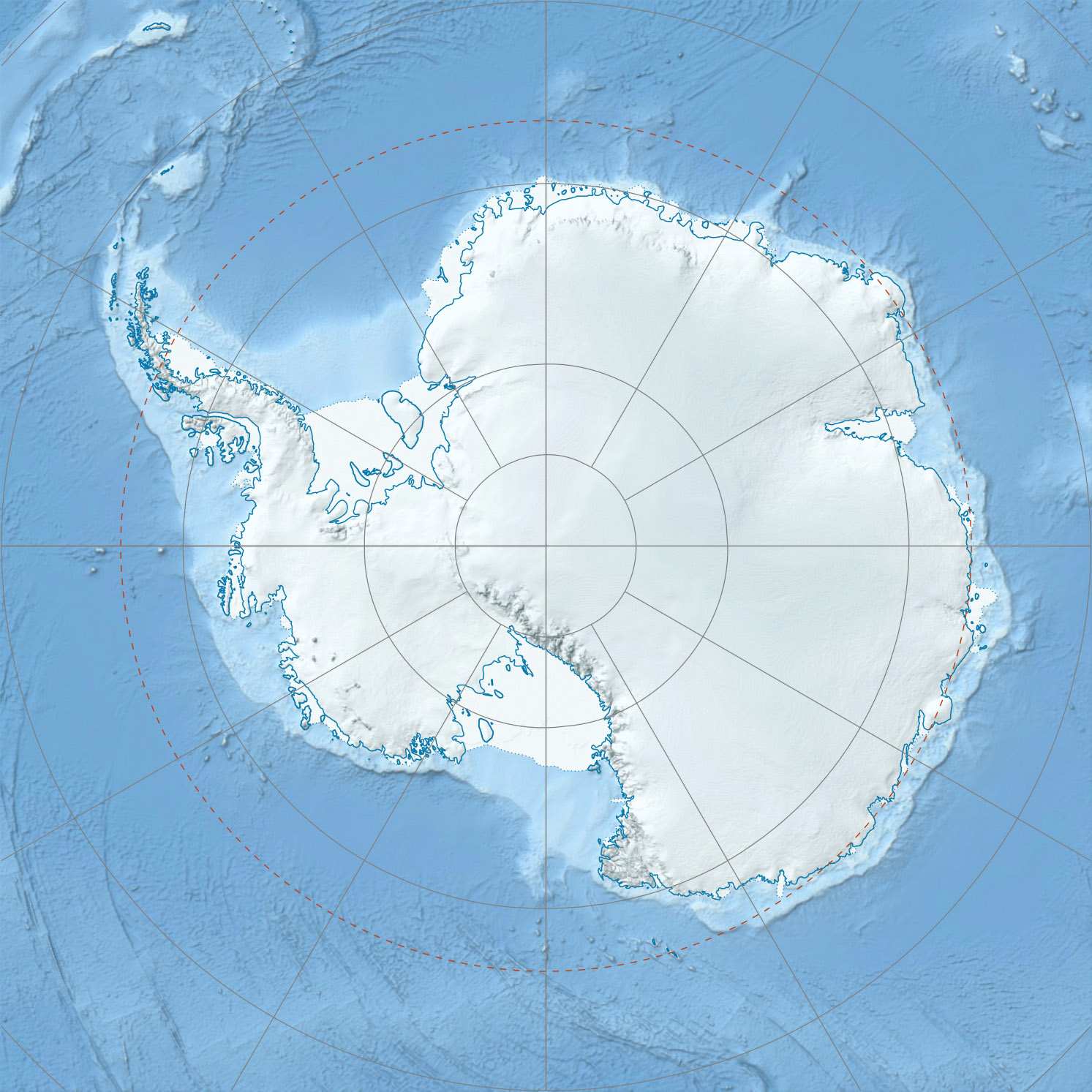
Yochelson Ridge

Yochelson Ridge
-79.6-84.416666666667
Yochelson Ridge (Antarktis)
Yochelson Ridge
Yochelson Ridge
Antarktis

Yochelson Ridge ist ein schroffer, teilweise schneebedeckter Ausläufer der Soholt Peaks in der westantarktischen Heritage Range. Er hat eine Länge von etwa 4 Seemeilen (7,4 km) und erstreckt sich vom Eley Peak aus in Richtung Nordnordwesten.[1]

Yochselson Ridge wurde vom United States Geological Survey im Rahmen der Erfassung des Ellsworthgebirges in den Jahren 1961–66 durch Vermessungen vor Ort und Luftaufnahmen der United States Navy kartografiert. Benannt wurde er vom Advisory Committee on Antarctic Names nach Ellis L. Yochelson (1928–2006[2]). Yochelson war ein Geologe des United States Geological Survey, der am National Museum of Natural History in Washington D.C. arbeitete und 1979/80 als Paläontologe an einer Expedition des United States Antarctic Research Program zum Ellsworthgebirge teilnahm.[1]

Einzelnachweise

  1. a b Yochelson Ridge (Englisch). Geographic Names Information System. United States Geological Survey. Abgerufen am 16. Juli 2010.
  2. http://www.paleo.geos.vt.edu/SJG/Yochelson.html

Wikimedia Foundation.

Игры ⚽ Поможем написать курсовую

Schlagen Sie auch in anderen Wörterbüchern nach:

  • Yochelson Ridge — (coord|79|36|S|84|25|W|) is a rugged, partly snow covered ridge, about 4 miles (6 km) long, extending north northwest from Eley Peak, Soholt Peaks, in the Heritage Range, Ellsworth Mountains. Mapped by United States Geological Survey (USGS) from… …   Wikipedia

  • Ellis Yochelson — Ellis Leon Yochelson (* 14. November 1928 in Washington D. C.[1]; † 20. August 2006 im Distrikt Washington D. C.) war ein US amerikanischer Paläontologe. Inhaltsverzeichnis 1 Leben und Werk 2 Schriften …   Deutsch Wikipedia

  • Soholt Peaks — 79.716666666667 84.2 Koordinaten: 79° 43′ S, 84° 12′ W …   Deutsch Wikipedia

  • Eley Peak — Bild gesucht  BWf1 Höhe 2.280  …   Deutsch Wikipedia

  • Charles Doolittle Walcott — Charles D. Walcott Born March 31, 1850 New York Mills, New York, USA …   Wikipedia

  • Marcellus Formation — Stratigraphic range: Middle Devonian …   Wikipedia

  • Bellerophon (mollusc) — Taxobox name = Bellerophon fossil range= fossil range|Silurian|Early Triassic regnum = Animalia phylum = Mollusca classis = Gastropoda ordo = Bellerophontida familia = Bellerophontidae genus = Bellerophon genus authority = Montfort, 1808… …   Wikipedia

  • Bellerophontidae — Taxobox name = Bellerophontidae regnum = Animalia phylum = Mollusca classis = Gastropoda ordo = Bellerophontida familia = Bellerophontidae familia authority = McCoy, 1851 subdivision ranks = Subfamilies and Genera subdivision = Subfamily… …   Wikipedia

Share the article and excerpts

Direct link
Do a right-click on the link above
and select “Copy Link”