Coal Bank Pass

Coal Bank Pass

x

Coal Bank Pass
Coalbankpass sign.jpg
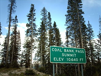
Süd Nord
Passhöhe 3.243 m
County San Juan County, Colorado (USA)
Talorte Tacoma, Durango Molas Pass
Ausbau US 550.svg U.S. Highway 550
Gebirge San Juan Mountains (Rocky Mountains)
Max. Steigung 6,5 %
Karte
Coal Bank Pass (Colorado)
Coal Bank Pass
x x
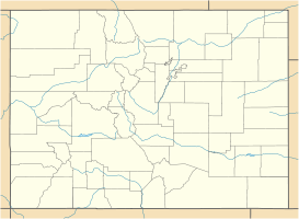
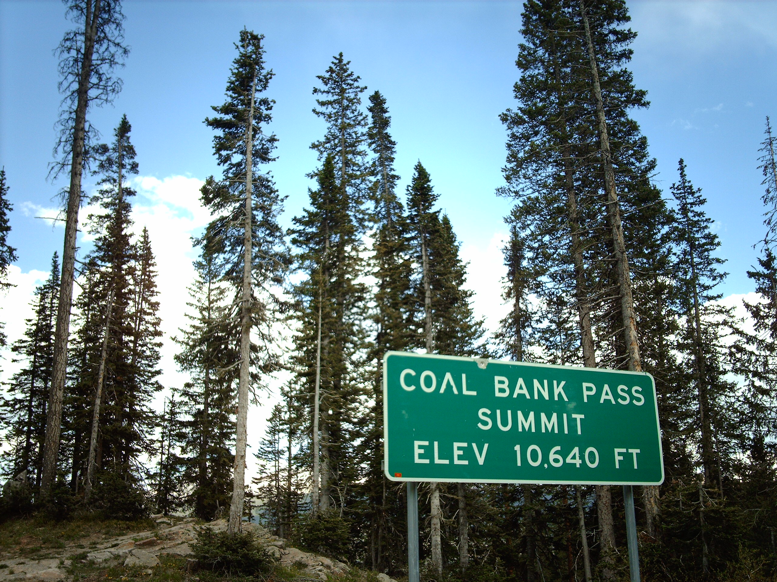
Koordinaten 37° 42′ 2″ N, 107° 46′ 37″ W37.700555555556-107.776944444443243Koordinaten: 37° 42′ 2″ N, 107° 46′ 37″ W

Der Coal Bank Pass ist ein Gebirgspass im südwestlichen Teil des US-Bundesstaates Colorado im San Juan County. Der Pass liegt im San Juan National Forest und verläuft zwischen Tacoma im La Plata County und dem Molas Pass. Über den Pass führt der Million Dollar Highway, Teil des U.S. Highway 550.


Wikimedia Foundation.

Игры ⚽ Нужна курсовая?

Schlagen Sie auch in anderen Wörterbüchern nach:

  • Coal Bank Pass — Sign at Coal Bank Pass Elevation 10,640 ft (3,243 m) …   Wikipedia

  • Molas Pass — x Molas Pass Blick vom Pass nach Nordwest. Rechts d …   Deutsch Wikipedia

  • Coal Creek Patrol Cabin — U.S. National Register of Historic Places …   Wikipedia

  • Molas Pass — sign Elevation 10,910 ft (3,325 m) …   Wikipedia

  • Coal Exchange — The Coal Exchange The Coal Exchange is a live music venue in Cardiff, Wales, originally used a market floor for trading in coal. Coal Exchange is situated in Cardiff Bay, near The Point, Cardiff, and is used extensively for live music and other… …   Wikipedia

  • Cordell Bank National Marine Sanctuary — Area map of the sanctuary. The coast of California is to the upper right, and the administrative centre, located on the granite outcropping, adjacent to it. The actual sanctuary is further left, and colored darker blue. Cordell Bank National… …   Wikipedia

  • Turracher Höhe Pass — Infobox Mountain Pass Name = Turracher Höhe Pass Photo = Turracherhoehe see1.jpg Caption = Elevation = 1795 m Location = AUT Range = Alps Coordinates = coord|46|54|52|N|13|52|30|E|type:pass Topographic Traversed by =Turracher Höhe, also called… …   Wikipedia

  • Cut Bank Ranger Station Historic District — U.S. National Register of Historic Places U.S. Historic district …   Wikipedia

  • Stampede Pass — Infobox Mountain Pass Name = Stampede Pass Photo = Caption = Elevation = convert|3672|ft|m Location= Washington, USA Range = Cascade Range Coordinates = coord|47|17|0|N|121|21|4|W|type:pass Topographic Traversed by = Forest Service Road 54 and… …   Wikipedia

  • U.S. Route 550 — Million Dollar Highway Route information …   Wikipedia

Share the article and excerpts

Direct link
Do a right-click on the link above
and select “Copy Link”