- Kunkilling Forest Park
-
Kunkilling Forest Park 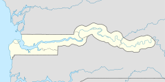

Lage: Central River, Gambia Nächste Stadt: Janjanbureh Fläche: 142 ha Gründung: 1. Januar 1954 Besucher: öffentlich zugänglich 13.523611111111-14.71Koordinaten: 13° 31′ 25″ N, 14° 42′ 36″ WDer Kunkilling Forest Park ist ein Waldgebiet im westafrikanischen Staat Gambia.
Inhaltsverzeichnis
Topographie
Das im Jahr 1954 ausgewiesene Gebiet mit 142 Hektar liegt unmittelbar am Gambia-Fluss, in der Central River Region im Distrikt Fulladu West. Das ungefähr 2 × 0,5 Kilometer große Gebiet liegt in der Nähe der Insel Janjanbureh Island auf dem südlichen Ufer des Flusses. Von der Hauptstadt der Region Janjanbureh ist der Kunkilling Forest Park ungefähr fünf Kilometer oder zwei Boots-Stunden entfernt.
Flora und Fauna
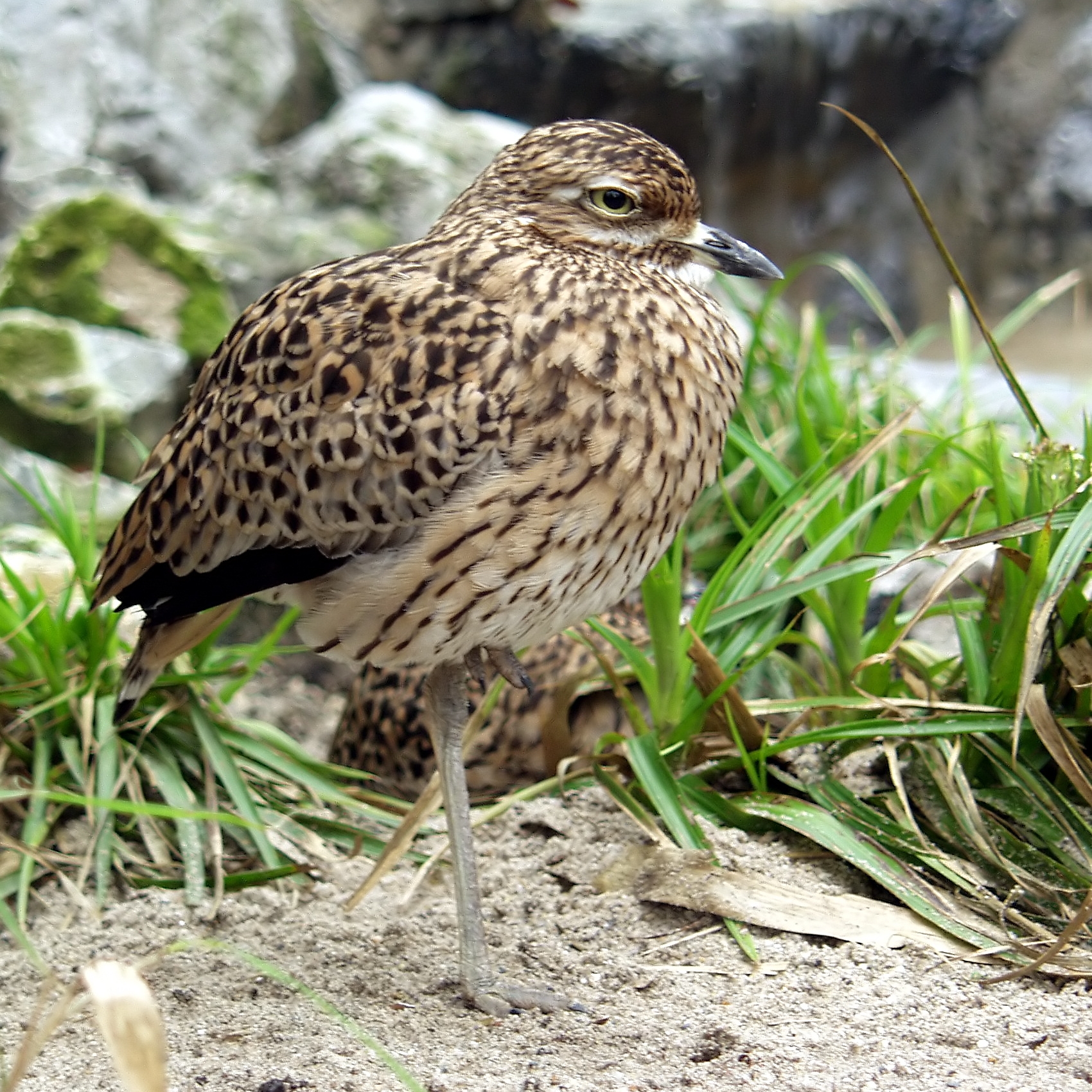
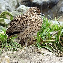 Kaptriel (Burhinus capensis)
Der Park hat eine Vogelbeobachtungsplattform, von der man über den Baumgipfeln die reichhaltige Vogelwelt beobachten kann. Unter anderem wurden die Adamaua-Turteltaube (Streptopelia hypopyrrha), der Beaudouin-Schlangenadler (Circaetus beaudouini), Buntastrild (Pytilia melba), Auroraastrild (Pytilia phoenicoptera), Binsenralle (Podica senegalensis), Schillereisvogel (Alcedo quadribrachys), Meisenschnäpper (Myioparus plumbeus), Weißrückengeier (Gyps africanus), Graurückenamarant (Lagonosticta virata), Gelbbauch-Hyliota (Hyliota flavigaster), Amethystrennvogel (Rhinoptilus chalcopterus) und der Kaptriel (Burhinus capensis) beobachtet.
Weiter kann man zahlreiche Affenarten im Wald sehen.
Siehe auch
Literatur
- Craig Emms, Linda Barnett, Richard Human: The Gambia, 2nd : The Bradt Travel Guide (Bradt Travel Guide). Bradt Travel Guides, 2006, ISBN 1-84162-137-4
- Cartes ITM: Gambia Map, Estate Publications, 2003, ISBN 155341217-6
Weblinks
Kategorien:- Waldgebiet in Afrika
- Waldgebiet in Gambia
- Geographie (Central River Region)

Wikimedia Foundation.