Lillooet (British Columbia)

Lillooet (British Columbia)
Lillooet
Lage in British Columbia
Lillooet (British Columbia)
Lillooet
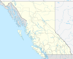
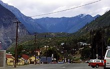
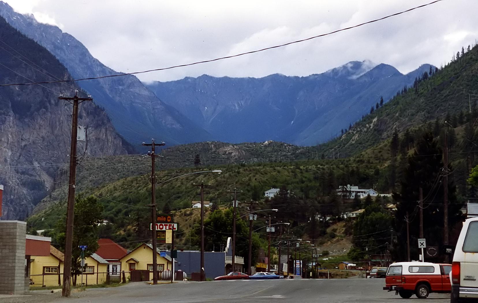
Lillooet
Staat: Kanada
Provinz: British Columbia
Regionaldistrikt: Squamish-Lillooet
Koordinaten: 50° 41′ N, 121° 56′ W50.68622-121.93668Koordinaten: 50° 41′ N, 121° 56′ W
Fläche: 27,18 km²
Einwohner: 2324 (Stand: 2006)
Bevölkerungsdichte: 85,5 Einw./km²
Zeitzone: Pacific Time (UTC−8)
Postleitzahl: V0K

Lillooet ist eine Gemeinde im Squamish-Lillooet District in British Columbia, Kanada. Der Ort entstand durch den Goldrausch von 1858, als hier die Kanuroute über den Harrison Lake, eine Route, die den Fraser Canyon umging, auf den Fraser traf. Zu Boomzeiten des Goldrauschs soll Lillooet 20.000 Einwohner gehabt haben. 1912 erhielt der Ort Bahnanschluss durch die Canadian Pacific Railway.

Der Ort liegt am Fraser River und bereits im Regenschatten der Coast Mountains und hat nur jährlich 260 Millimeter Niederschlag.

Neben einigen Bauten aus der Pionierzeit steht oberhalb des Ortes der Hanging Tree, eine Kiefer, an dem Richter Matthew Baillie Begbie angeblich Missetäter hat aufhängen lassen. In der ehemaligen anglikanischen Kirche befindet sich ein kleines Museum zur Goldrauschgeschichte und zum Bau der Eisenbahn. Die Brücke über den Fraser trägt seit 1980 den Namen The Bridge of the 23 Camels als Erinnerung an die 23 Kamele, die während des Goldrauschs als Transporttiere importiert wurden, sich jedoch nicht bewährten.

Weblinks

Lillooet


Wikimedia Foundation.

Игры ⚽ Нужно сделать НИР?

Schlagen Sie auch in anderen Wörterbüchern nach:

  • Lillooet, British Columbia — Lillooet   District municipality   …   Wikipedia

  • British Columbia — Colombie Britannique (French) …   Wikipedia

  • British Columbia — • The westernmost province of the Dominion of Canada Catholic Encyclopedia. Kevin Knight. 2006. British Columbia     British Columbia      …   Catholic encyclopedia

  • British Columbia — Colombie Britannique Britisch Kolumbien Wappen Flagge (Details) …   Deutsch Wikipedia

  • British Columbia — British Columbian. a province in W Canada on the Pacific coast. 2,406,212; 366,255 sq. mi. (948,600 sq. km). Cap.: Victoria. * * * Province (pop., 2001: 3,907,738), western Canada. It is bounded by Yukon Territory, Northwest Territories, Alberta …   Universalium

  • British Columbia general election, 2001 — 1996 ← May 16, 2001 → 2005 …   Wikipedia

  • British Columbia (Kolonie) — British Columbia war eine von 1858 bis 1866 existierende britische Kronkolonie im Westen von Britisch Nordamerika. Ihr Gebiet entsprach im Wesentlichen der heutigen kanadischen Provinz British Columbia, mit Ausnahme von Vancouver Island und der… …   Deutsch Wikipedia

  • McGillivray, British Columbia — McGillivray, formerly McGillivray Falls, is an unincorporated recreational community on the west shore of Anderson Lake, just east of midway between the towns of Pemberton and Lillooet, British Columbia, Canada, in that province s southwest… …   Wikipedia

  • Moha, British Columbia — Moha is a rural locality located at the confluence of the Bridge and Yalakom Rivers, 30 km northwest of Lillooet, British Columbia, Canada. The name derives from that of a rock formation on the north (right) bank of the Yalakom River… …   Wikipedia

  • British Columbia Interior — The British Columbia Interior or BC Interior or Interior of British Columbia, usually referred to only as The Interior, is one of the three main regions of the Canadian province of British Columbia, the other two being the Lower Mainland, which… …   Wikipedia

Share the article and excerpts

Direct link
Do a right-click on the link above
and select “Copy Link”