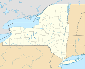
Owego (Village, New York)
- Owego (Village, New York)
-
 |
Dieser Artikel wurde aufgrund von inhaltlichen Mängeln auf der Qualitätssicherungsseite des Projektes USA eingetragen. Hilf mit, die Qualität dieses Artikels auf ein akzeptables Niveau zu bringen, und beteilige dich an der Diskussion! |
|
Owego ist ein Village im Bundesstaat New York (USA), Tioga County. Er hat im Mai 2006 etwa 4.000 Einwohner. 20 Prozent der Einwohner haben deutsche Vorfahren, rund 18 Prozent der Einwohner sind irischen Ursprungs.
Kategorien: - Ort in New York
- County Seat in New York
Wikimedia Foundation.
Schlagen Sie auch in anderen Wörterbüchern nach:
Owego (village), New York — Owego, New York Village … Wikipedia
Owego (town), New York — Town of Owego, New York Country United States State New York County Tioga Established 1791 Government Town Supervisor … Wikipedia
Owego, New York — is the name of two locations in Tioga County, New York: Owego (village), New York Owego (town), New York This disambiguation page lists articles about distinct geographical locations with the same name. If an … Wikipedia
Nichols (village), New York — Nichols, New York Village … Wikipedia
Newark Valley (village), New York — Newark Valley Village … Wikipedia
New York locations by per capita income — New York is the sixth richest state in the United States of America, with a per capita income of $40,272.29 (2004). [1] New York counties ranked by per capita income There are sixty two counties located in New York, six of which are in the 100… … Wikipedia
New York State Route 38 — NY 38 redirects here. NY 38 may also refer to New York s 38th congressional district. NYS Route 38 Map of New York with NY 38 highlighted in red … Wikipedia
New York State Route 96 — This article is about the current alignment of NY 96. For the former alignment of NY 96 in Rensselaer County, see New York State Route 96 (1930 – early 1940s). NYS Route 96 Map of the F … Wikipedia
New York State Route 17C — NYS Route 17C Route information Auxiliary route of NY 17 Maintained by NYSDOT and the city of Binghamton … Wikipedia
New York State Route 17 — NY 17 redirects here. NY 17 may also refer to New York s 17th congressional district. NYS Route 17 Map of New York with NY 17 highlighted in red … Wikipedia


