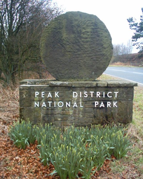
- Peak District National Park
-
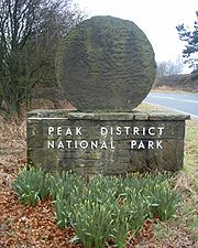
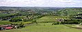
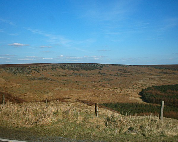
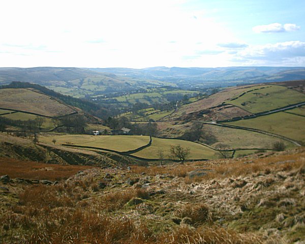
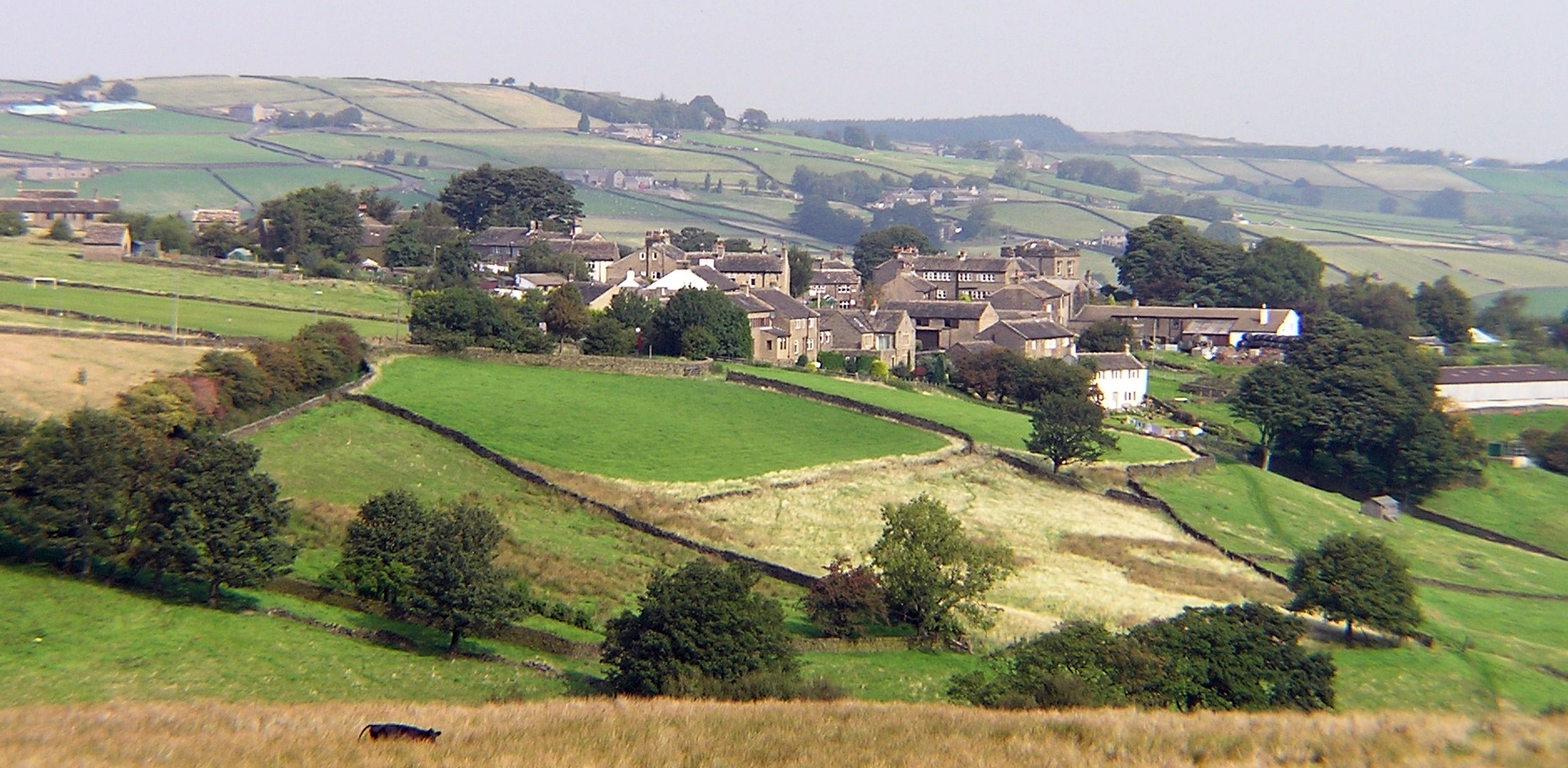
Der Peak-District-Nationalpark (engl. Peak District National Park) ist ein Naturpark in Nordengland. Man unterscheidet zwischen dem nördlichen Dark Peak, der den größten Teil der unbewohnten Hochmoore umfasst und dem südlichen White Peak, in dem die meisten Siedlungsgebiete vorzufinden sind. Der Dark Peak ist Teil der Grafschaften Greater Manchester und Yorkshire, während der White Peak Gebiete von Staffordshire, Derbyshire und Cheshire umfasst. Der White Peak besteht zu großen Teilen aus Graslandschaften, die zur Zucht von Schafen genutzt werden. Trockene Flussbette und Höhlen sind auch zu finden.
Nutzung für Freizeitaktivitäten
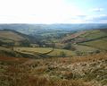
Der Nationalpark ist ein geschütztes Territorium und 1404 km² groß. Der Peak District ist weitgehend Privatland und war für Wanderer und Naturfreunde nicht immer zugänglich. Im Jahr 1932 kam es zu einer Protestaktion, als ca. 400 Menschen das Moorplateau Kinder Scout unerlaubt überstiegen und damit eine Änderung der Gesetze bewirkten. So entstand 1935 der Pennine Way, der längste Wanderweg Englands, der in Nord-Süd-Richtung durch den Peak District verläuft und sich über 431 Kilometer von der Ortschaft Edale bis nach Kirk Yetholm an der schottischen Grenze erstreckt. Der Wanderweg entstand auf Anregung des britischen Journalisten Tom Stephenson, der sich durch ähnliche Wanderwege in den USA hatte inspirieren lassen.
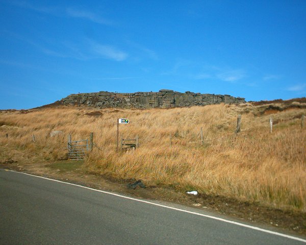
1951 wurde mit dem Peak District in England erstmals ein Gebiet zum Nationalpark erklärt und zu großen Teilen für die Bevölkerung erschlossen. Im September 2004 wurden weitere Gebiete im Osten und Nordosten des Peak Districts für die Öffentlichkeit zugänglich gemacht. Der Nationalpark wird für eine Vielzahl von Freizeitaktivitäten wie etwa Wandern, Reiten, Klettern, Radfahren und Luftsport genutzt.

Burbage Rocks

Castleton
Dale Bottom - Hathersage
.jpg)
Dunford Bridge
.JPG)
Hepworth
Higger Tor
.JPG)
Holmfirth
Holme, West Yorkshire
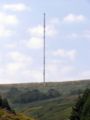
Holme Moss Radio Tower
.JPG)
Scholes
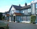
The Rising Sun

Toad's Mouth
.JPG)
Totties
Upper Holme Valley
Weblinks
Nationalparks in GroßbritannienEngland: Dartmoor-Nationalpark | Exmoor-Nationalpark | Lake-District-Nationalpark | New-Forest-Nationalpark | North-York-Moors-Nationalpark | Northumberland-Nationalpark | Peak-District-Nationalpark | The-Broads-Nationalpark | Yorkshire-Dales-Nationalpark
Schottland: Cairngorms-Nationalpark | Loch-Lomond-and-the-Trossachs-Nationalpark
Wales: Brecon-Beacons-Nationalpark | Pembrokeshire-Coast-Nationalpark | Snowdonia-Nationalpark
53.35-1.8333333333333Koordinaten: 53° 21′ 0″ N, 1° 50′ 0″ W

.jpg)
.JPG)
.JPG)

Wikimedia Foundation.