- Portsmouth (Rhode Island)
-
Portsmouth 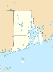

Portsmouth Lage in Rhode IslandBasisdaten Gründung: 1638 Staat: Vereinigte Staaten Bundesstaat: Rhode Island County: Koordinaten: 41° 36′ N, 71° 15′ W41.604388888889-71.24772222222262Koordinaten: 41° 36′ N, 71° 15′ W Zeitzone: Eastern Standard Time (UTC−5) Einwohner: 17.149 (Stand: 2000) Bevölkerungsdichte: 285,3 Einwohner je km² Fläche: 153,6 km² (ca. 59 mi²)
davon 60,1 km² (ca. 23 mi²) LandHöhe: 62 m Postleitzahl: 02871 Vorwahl: +1 401 FIPS: 44-57880 GNIS-ID: 1220065 Webpräsenz: www.portsmouthri.com Portsmouth ist eine kleine Stadt im Südosten des US-Bundesstaates Rhode Island auf der gleichnamigen Insel in der Narragansett Bay. Zum Stadtgebiet zählt auch Dyer Island.
Inhaltsverzeichnis
Geographie
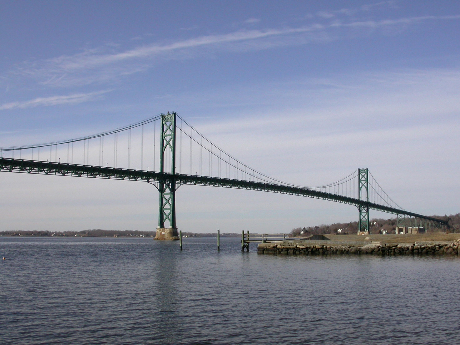
 Mount Hope Bridge
Portsmouth liegt an der Nordspitze der Insel Rhode Island. Das Stadtgebiet umfasst neben einem Teil von Rhode Island mehrere Inseln, darunter Prudence Island, Patience Island, Hope Island und Hog Island. Es hat eine Fläche von 153,6 km², mehr als die Hälfte davon besteht aus Wasserflächen. Die mittlere Höhe von Portsmouth beträgt 43 m.[1]
Die Siedlungsfläche konzentriert sich vor allem auf die Ostküste der Insel. Der Westen des Stadtgebietes ist überwiegend ländlich geprägt und vom Weichbild der Stadt durch die Rhode Island State Route 24 getrennt. Die State Route ist über die Sakonnet Bridge die Hauptverbindung nach Fall River auf dem östlichen Festland in Massachusetts. Das nördliche Festland ist über die State Route 114 und die Mount Hope Bridge erreichbar. Die 114 stellt auch die Verbindung mit Newport im Süden der Insel her. Von der Westküste des Stadtgebietes führt eine Fährverbindung über Prudence Island nach Bristol.
Bevölkerung
Bei der Volkszählung 2000 wurden 17.149 Einwohner gezählt. Fast 96 % der Einwohner waren Weiße, der restliche Anteil verteilte sich auf verschiedene Volksgruppen. Das Pro-Kopf-Einkommen betrug 28.161 US-Dollar; 3,4 % der Bevölkerung lebte unter der Armutsgrenze.
Geschichte
Die Stadt wurde 1638 von Anne Hutchinson als zweite europäische Siedlung in Rhode Island gegründet. Eine große Rolle im Wirtschaftsleben der Stadt bildeten Fischfang und Schiffbau. Im 19. Jahrhundert war darüber hinaus der Kohlebergbau wichtig.
Einzelnachweise
Weblinks
- Kurzbeschreibung der Stadt, Town of Portsmouth, RI
Kategorien:- Ort in Rhode Island
- Newport County (Rhode Island)

Wikimedia Foundation.