- Augusta (Maine)
-
Augusta 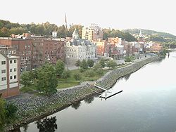
Augusta, von der Brücke photographiertLage in Maine 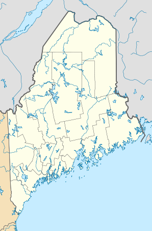

Augusta Basisdaten Gründung: 1754 Staat: Vereinigte Staaten Bundesstaat: Maine County: Koordinaten: 44° 19′ N, 69° 46′ W44.323611111111-69.76527777777820Koordinaten: 44° 19′ N, 69° 46′ W Zeitzone: Eastern Standard Time (UTC−5) Einwohner: 19.136 (Stand: 2010) Bevölkerungsdichte: 133,4 Einwohner je km² Fläche: 150,9 km² (ca. 58 mi²)
davon 143,4 km² (ca. 55 mi²) LandHöhe: 20 m Vorwahl: +1 207 FIPS: 23-02100 GNIS-ID: 0581636 Webpräsenz: www.ci.augusta.me.us Bürgermeister: Patrick Paradis Augusta [ɑːˈgʌstə] ist seit 1831 die Hauptstadt des US-Bundesstaates Maine. Sie liegt am Kennebec River.
Inhaltsverzeichnis
Geschichte
Die Gegend der heutigen Stadt wurde seit 1607 erkundet, die erste Siedlung 1628 gegründet. Der Ort bekam seinen gegenwärtigen Namen am 9. Juni 1797. Das Stadtrecht besteht seit 1849.
Bevölkerungsentwicklung
1970 1980 1990 2000 2010 21.945 21.819 21.325 18.500 19.136 Bildung und Sehenswürdigkeiten
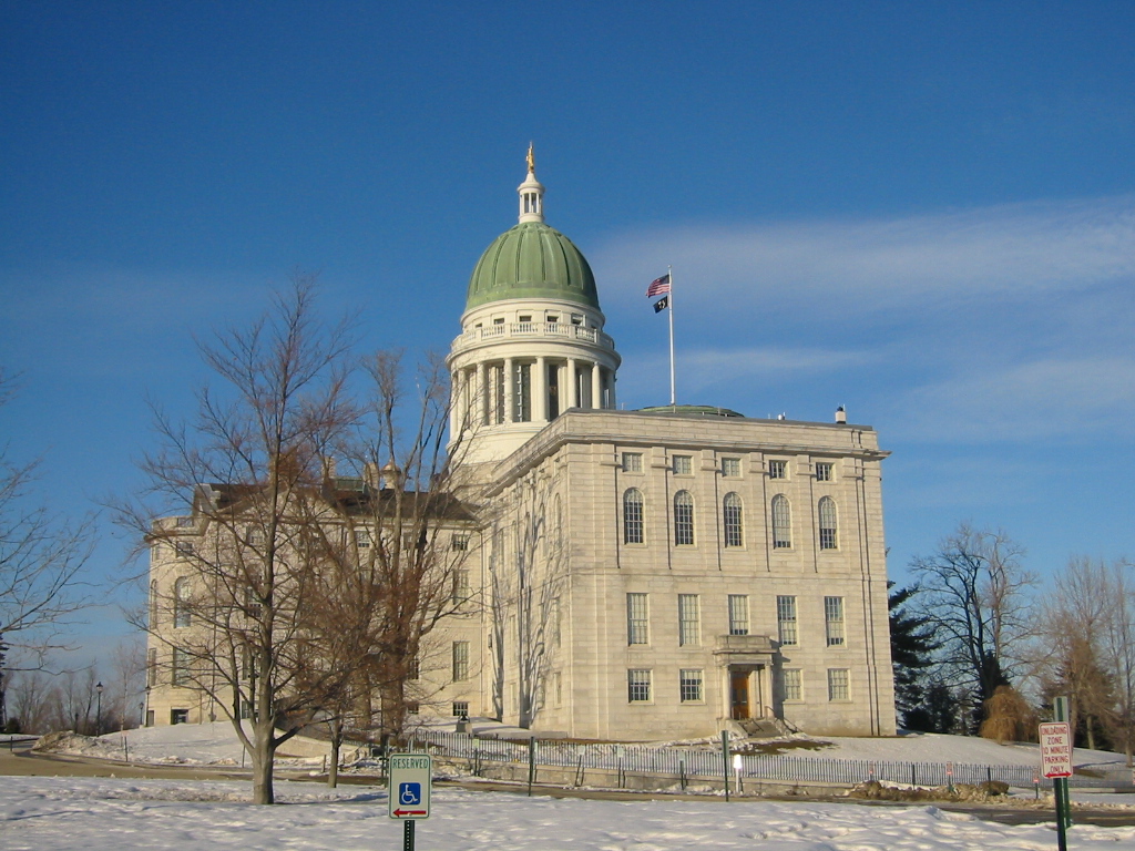
 Maine State House
In Augusta befindet sich die Staatsuniversität von Maine (gegründet 1965) und das Maine State House.
Als sehenswürdig gilt der Botanische Garten Pine Tree State Arboretum mit einer Fläche von 90,6 ha. Eine weitere Sehenswürdigkeit ist das Maine State Museum.
Wirtschaft
In Augusta ist die Papier-, Stahl-, Nahrungsmittel- und Computerindustrie beheimatet.
Söhne und Töchter der Stadt
- Julia Clukey, Rennrodlerin
- Samuel Cony, Gouverneur von Maine
- Richard Dysart, Film- und Fernsehschauspieler
- Melville W. Fuller, Oberster Bundesrichter von 1888 bis 1910
- George W. Ladd, Mitglied des US-Repräsentantenhauses für Maine
- Rachel Nichols, Schauspielerin
- John F. Potter, Mitglied des US-Repräsentantenhauses für Wisconsin
- Olympia Snowe, Senatorin des Bundesstaates Maine
- Richard H. Vose, Gouverneur von Maine
- Joseph Williams, Gouverneur von Maine
Weblinks


Wikimedia Foundation.