- Smith’s Parish
-
Smith’s Parish 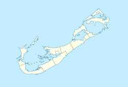

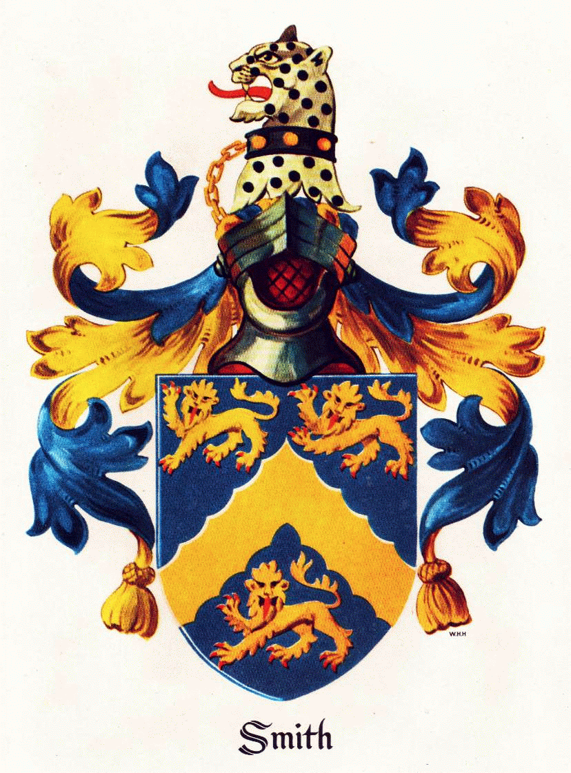
Smith’s Parish Symbole Wappen
Basisdaten Staat Bermuda ISO 3166-2 BM Sonstiges Postleitzahlen: FL 01 – FL 08,
HS 01 - HS 02Zeitzone: AST (UTC-4) 32.315277777778-64.735Koordinaten: 32° 19′ N, 64° 44′ W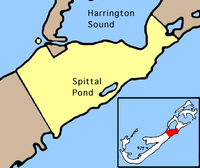 Lage des Smith’s Parish innerhalb der Bermudas
Smith’s Parish bezeichnet ein knapp 6 km² großes Verwaltungsgebiet von Bermuda.
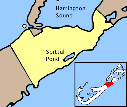
Der in deutschsprachigen Staaten mit einem Landkreis vergleichbare Parish liegt im Nordosten der bermudischen Hauptinsel Grand Bermuda am Westufer des Harrington Sound. Das Gebiet ist leicht hügelig, Town Hill, mit 76 Metern die höchste Erhebung von Bermuda, liegt hier. Nahe der südlichen Atlantikküste befindet sich der Spittal Pond, einer der wenigen Seen in Bermuda.
Smith’s Parish grenzt westlich an den Devonshire Parish und östlich an den Hamilton Parish. Das Verwaltungsgebiet ist nach dem englischen Aristokraten Thomas Smith (1588-1624) benannt.
Weblinks
- Bermuda-Online (Smith’s) (engl.)

Municipality: Hamilton (Ort) | Saint George’s (Ort)
Parish: Sandys | Southampton | Warwick | Paget | Pembroke | Devonshire | Smith’s | Hamilton | Saint George’s

Wikimedia Foundation.