- Sunart
-
Sunart Koordinaten 56° 42′ N, 5° 34′ W56.695277777778-5.5686111111111Koordinaten: 56° 42′ N, 5° 34′ W 

Sunart Verwaltung Landesteil Scotland Unitary authority Highland Sunart ist eine ländliche Gegend und eine Gemeinde im südwestlichen Lochaber, Highland, Schottland, am Nordufer von Loch Sunart. Heute wird es oft als Teil Ardnamurchans betrachtet. Das wichtigste Dorf ist Strontian, am Kopf des Lochs, wo sich die Ardnamurchan High School, die lokale Feuerwehr- und Polizeiwache und andere Einrichtungen befinden.
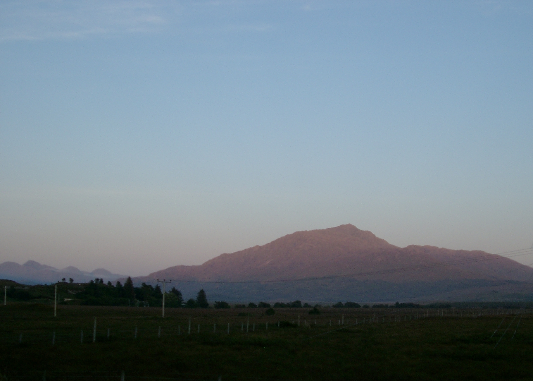
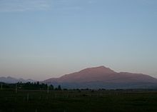 Beinn Resipol bei Sonnenuntergang
Die Gegend wird im Süden vom östlichen Teil Loch Sunarts begrenzt und teilweise von Morvern, im Westen von der Halbinsel Ardnamurchan (ab Salen), im Norden von Loch Shiel und im Osten und Nordosten von der Ardgour-Region, von der es durch einen Hügelzug abgegrenzt wird. Erreichbar ist die Gegend heute über die Corran-Fähre bzw. die A861 von Osten her, obwohl diese Straße via Moidart auch einen Zugang von Lochailort im Nordwesten ermöglicht. Zwar wirkt die Gegend heute isoliert, doch war das Schiff früher Haupttransportmittel in den West Highlands und die Region war in die Küstenwirtschaft und -kultur integriert.
Fast die gesamte Bevölkerung Sunarts lebt in einem schmalen Streifen aus kleinen Siedlungen an der Nordküste von Loch Sunart. Das Innere, inklusive die Küste von Loch Shiel, besteht aus rauem, hügeligem Land, oft Moorgebiet und Wald, dominiert vom wichtigsten Hügel, dem Beinn Resipol.
Die wichtigsten Wirtschaftszweige des Gebietes sind der Tourismus sowie die Lachszucht.
Inhaltsverzeichnis
Natur
Die Gegend ist für die Reichheit ihres Wildlebens bekannt und beherbergt einige der besten noch erhaltenen alten gemäßigten atlantischen Eichenwälder, die einst den Großteil der Westküste Schottlands, Wales', Cornwalls und Britanniens bedeckten, heute aber nur noch in isolierten Regionen vorkommen. Loch Sunart selbst hat ebenfalls eine reiche Flora und Fauna. Früher war die Lachs- und Forellenfischerei wichtig für die lokalen Hotels, doch wie fast überall in Europa sind die Fische im Frühling und Sommer nicht mehr so zahlreich.
Die Gegend soll wegen des milden, feuchten ozeanischen Klimas zu den abwechslungsreichsten Europas gehören, was Pilz-, Flechten- und Moosspezies angeht.
Momentan läuft eine Kampagne, um die Population der Rhododendron ponticum zu bekämpfen, eine invasive, eingeschleppte Neophytenspezies.
Orte in Sunart
- Achnanellan, Anaheilt, Ard Airigh, Ardery, Ardnastaing, Ariundle
- Drumnatorran
- Glenhurich, Gorstanvorran
- Polloch
- Resipole
- Salen, Scamodale, Scotstown, Strontian
Siehe auch
Weblinks
Kategorie:- Ort in der Unitary authority Highland

Wikimedia Foundation.