- Yoshinogawa
-
Yoshinogawa-shi
吉野川市

Geographische Lage in Japan Region: Shikoku Präfektur: Tokushima Koordinaten: 34° 4′ N, 134° 22′ O34.06625134.35856944444Koordinaten: 34° 3′ 59″ N, 134° 21′ 31″ O Basisdaten Fläche: 144,19 km² Einwohner: 43.704
(1. Juli 2011)Bevölkerungsdichte: 303 Einwohner je km² Gemeindeschlüssel: 36205-1 Symbole Baum: Rhododendron weyrichii Blume: Garten-Chrysantheme Vogel: Eisvogel Rathaus Adresse: Yoshinogawa City Hall
115-1, Kamojima, Kamojima-chō
Yoshinogawa-shi
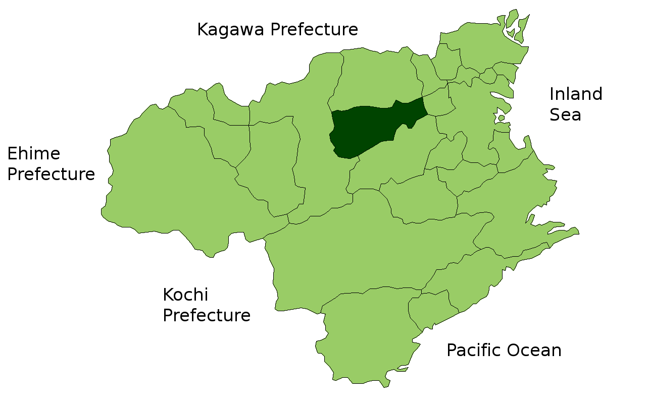
Tokushima 776-8611Webadresse: http://www.city.yoshinogawa.lg.jp Lage Yoshinogawas in der Präfektur Tokushima 
Yoshinogawa (jap. 吉野川市, -shi) ist eine Stadt in der Präfektur Tokushima in Japan.
Inhaltsverzeichnis
Geschichte
Die Stadt Yoshinogawa wurde am 1. Oktober 2004 aus den ehemaligen Gemeinden Kamojima (鴨島町, -chō), Kawashima (川島町, -chō), Yamakawa (山川町, -chō) und dem Dorf Misato (美郷村, -mura) des Landkreises Oe gegründet.
Verkehr
- Straße:
- Nationalstraße 192,193,318
Angrenzende Städte und Gemeinden
Weblinks
 Commons: Yoshinogawa – Sammlung von Bildern, Videos und Audiodateien
 Gemeinden und Landkreise in der Präfektur Tokushima
Kreisfreie Städte (shi): Anan | Awa | Komatsushima | Mima | Miyoshi | Naruto | Tokushima (Verwaltungssitz) | Yoshinogawa
Itano-gun: Aizumi | Itano | Kamiita | Kitajima | Matsushige | Kaifu-gun: Kaiyō | Minami | Mugi | Katsuura-gun: Kamikatsu | Katsuura | Mima-gun: Tsurugi | Miyoshi-gun: Higashimiyoshi | Myōdō-gun: Sanagouchi | Myōzai-gun: Ishii | Kamiyama | Naka-gun: Naka
Wikimedia Foundation.
Schlagen Sie auch in anderen Wörterbüchern nach:
Yoshinogawa — shi (吉野川市) Vue d une partie de la ville Administration Pays Japon Région Shikoku Préfecture … Wikipédia en Français
Yoshinogawa, Tokushima — nihongo|Yoshinogawa|吉野川市|Yoshinogawa shi is a city located in Tokushima, Japan.As of October 1, 2004, the city has an estimated population of 47,218 and a density of 327 persons per km². The total area is 144.19 km².The city was founded on… … Wikipedia
Yoshinogawa-shi — Admin ASC 2 Code Orig. name Yoshinogawa shi Country and Admin Code JP.39.7406324 JP … World countries Adminstrative division ASC I-II
4670 Yoshinogawa — Infobox Planet minorplanet = yes width = 25em bgcolour = #FFFFC0 apsis = name = Yoshinogawa symbol = caption = discovery = yes discovery ref = discoverer = T. Seki discovery site = Geisei discovered = December 19, 1987 designations = yes mp name … Wikipedia
Ruta Nacional 192 (Japón) — Saltar a navegación, búsqueda La Ruta Nacional 192 (国道192号, Kokudō 192 gō?) es una ruta que comuni … Wikipedia Español
Aizumi, Tokushima — nihongo|Aizumi|藍住町|Aizumi chō is a town located in Itano District, Tokushima, Japan.Aizumi is situated in the northeast of Tokushima Prefecture. As of 2003, the town has an estimated population of 31,623 and a density of 1,943.64 persons per km² … Wikipedia
Tokushima Prefecture — Infobox Prefecture Japan Name = Tokushima JapaneseName = 徳島県 Rōmaji = Tokushima ken Symbol = PrefSymbol Tokushima.png Capital = Tokushima (city) Region = Shikoku Island = Shikoku TotalArea = 4,144.95 AreaRank = 36th PCWater = 1.5 PopDate =… … Wikipedia
Kamojima, Tokushima — was a town located in Oe District, Tokushima, Japan. On October 1, 2004, Kamojima merged with the towns of Kawashima and Yamakawa, and the village of Misato to form the new city of Yoshinogawa.As of 2003, the town had an estimated population of… … Wikipedia
Kawashima, Tokushima — nihongo|Kawashima|川島町|Kawashima chō was a town located in the former Oe District, Tokushima, Japan. On October 1, 2004, Kawashima merged with the towns of Kamojima and Yamakawa, and the village of Misato to form the city of Yoshinogawa.As of 2003 … Wikipedia
Yamakawa, Tokushima — nihongo|Yamakawa|山川町|Yamakawa chō was a town located in Oe District, Tokushima, Japan. On October 1, 2004, Yamakawa merged with the towns of Kamojima and Kawashima, and the village of Misato to form the city of Yoshinogawa.As of 2003, the town… … Wikipedia
- Straße:
Yoshinogawa

18+
© Academic, 2000-2026
- Kontaktieren Sie uns: Unterstützung, Werbung
Wörterbücher Export, schritte mit PHP, Joomla, Drupal, WordPress, MODx.