Broxtowe — Infobox UK district name = Borough of Broxtowe status = Borough region = East Midlands admincounty = Nottinghamshire area = Ranked 264th 80.10 km² adminhq = Beeston onscode = 37UD population = Ranked English district rank|ONS=37UD English… … Wikipedia
Broxtowe local elections — Broxtowe Council is elected every four years.Political controlConservative 1973 1995Labour 1995 2003No overall control 2003 presentCouncil electionsBroxtowe Council election, 1999Broxtowe Council election, 2003Broxtowe Council election, 2007By… … Wikipedia
Broxtowe (wapentake) — Broxtowe was a wapentake (equivalent to a hundred) of the ancient county of Nottinghamshire, England. It was in the west of the county covering the parishes of Annesley, Arnold, Attenborough, Basford, Beeston, Bestwood Park, Bilborough, Bramcote … Wikipedia
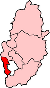
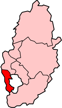
Broxtowe (UK Parliament constituency) — UK constituency infobox Name = Broxtowe Map1 = Broxtowe Map2 = Nottinghamshire Type = County Year = 1918, 1983 Entity = Nottinghamshire County = Nottinghamshire EP = East Midlands MP = Nick Palmer Party = LabourBroxtowe is a county constituency… … Wikipedia
Broxtowe — ▪ district, England, United Kingdom borough (district), administrative and historic county of Nottinghamshire, England. The borough covers the heavily industrialized western suburbs of the East Midlands city of Nottingham and the valley of… … Universalium
Eastwood, Nottinghamshire — infobox UK place static static image caption = Nottingham Road, the town s main street. map type = Nottinghamshire latitude= 53.0175 longitude= 1.3060 population= 18,612 cite web title = Eastwood North and Greasley (Beauvale) (Ward) key… … Wikipedia
Nick Palmer — In office 1 May 1997 – 12 April 2010 Preceded by Jim Lester Succeeded by … Wikipedia
Beeston, Nottinghamshire — Infobox UK place official name= Beeston country= England region= East Midlands population= 21,000 (2001 census) os grid reference= SK5236 latitude= 52.91891 longitude= 1.22807 post town= NOTTINGHAM postcode area= NG postcode district= NG9 dial… … Wikipedia
Richard Robinson (politician) — Infobox Officeholder imagesize = 150px honorific prefix = name = Richard Robinson honorific suffix = imagesize = small| caption = order = office = Member of the Broxtowe Borough Council for Eastwood East term start = 1995 term end = 2003… … Wikipedia
Chilwell — is a residential suburb of Greater Nottingham, in the Borough of Broxtowe of Nottinghamshire, west of Nottingham city. Until 1974 it was part of Beeston and Stapleford Urban District, having been in Stapleford Rural District until 1935.… … Wikipedia