- Ashland (Maine)
-
Ashland 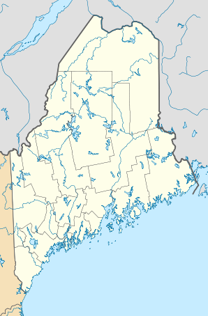

Ashland Lage in MaineBasisdaten Gründung: 1837 Staat: Vereinigte Staaten Bundesstaat: Maine County: Koordinaten: 46° 38′ N, 68° 24′ W46.631111111111-68.406111111111220Koordinaten: 46° 38′ N, 68° 24′ W Zeitzone: Eastern Standard Time (UTC−5) Einwohner: 1454 (Stand: 2009) Bevölkerungsdichte: 7 Einwohner je km² Fläche: 211,7 km² (ca. 82 mi²)
davon 208,7 km² (ca. 81 mi²) LandHöhe: 220 m Postleitzahlen: 04732, 04737, 04759 Vorwahl: +1 207 FIPS: 23-01710 GNIS-ID: 0582331 Webpräsenz: www.townofashland.com Ashland (auch Ashland Township[1]) ist eine Stadt (Town) im US-Bundesstaat Maine im Aroostook County.
Inhaltsverzeichnis
Geographie
Die Stadt liegt in der Mitte des Aroostook County am Aroostook River. Zur Stadt gehört auch die nördlich des Zentrums gelegene Siedlung Sheridan.
Verkehr
Durch die Stadt führt die Maine State Route 11, die nach Norden in Richtung Portage und nach Süden in Richtung Patten verläuft. Ashland ist außerdem Anfangspunkt der Maine State Route 163 und der Maine State Route 227, die beide nach Presque Isle führen. Die Route 163 verläuft dabei über Mapleton, die Route 227 über Castle Hill.
Durch die Stadt führt die Bahnstrecke Oakfield–Fort Kent, die jedoch zum Verkauf oder zur Stilllegung ansteht und nur noch unregelmäßig durch die Montreal, Maine and Atlantic Railway im Güterverkehr benutzt wird. Der ehemalige Personenbahnhof der Stadt befand sich westlich des Zentrums an der Station Street und wurde von 1896 bis 1954 bedient. In der Siedlung Sheridan befand sich ein Haltepunkt an der Bahnstrecke.
Der nächstgelegene Flughafen mit Linienflugangebot befindet sich in Presque Isle.
Geschichte
Die Gegend wurde 1837 besiedelt und später nach der Heimatstadt Ashland (Kentucky) des Politikers Henry Clay benannt.[2] Am 18. Februar 1862 wurde die Siedlung zur Stadt ernannt.[3]
Kultur und Bildung
Ashland verfügt über eine Bibliothek und ein Holzfällermuseum. Die Schulbildung wird durch die Ashland Community High School gewährleistet.
Industrie und Wirtschaft
Im Westen der Stadt befindet sich ein Biomassekraftwerk des Boralex-Konzerns, das ebenso wie eine Papierfabrik den im Raum Ashland reichlich vorhandenen Rohstoff Holz verwendet.
Einzelnachweise
- ↑ Rutherford, Phillip R. The Dictionary of Maine Place-Names. Freeport, Maine: The Bond Wheelwright Company, 1970. p7
- ↑ www.epodunk.com
- ↑ city-data.com
Weblinks
Kategorien:- Ort in Maine
- Aroostook County

Wikimedia Foundation.