- Beiriz
-
Beiriz Wappen Karte 
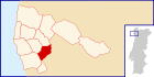
Basisdaten Region: Norte Unterregion: Grande Porto Distrikt: Porto Concelho: Póvoa de Varzim Koordinaten: 41° 24′ N, 8° 43′ W41.397008-8.722777Koordinaten: 41° 24′ N, 8° 43′ W Einwohner: 3.229 (Stand: 2001) Fläche: 4,8 km² Bevölkerungsdichte: 673 Einwohner pro km² Beiriz ist eine Gemeinde im Norden Portugals.
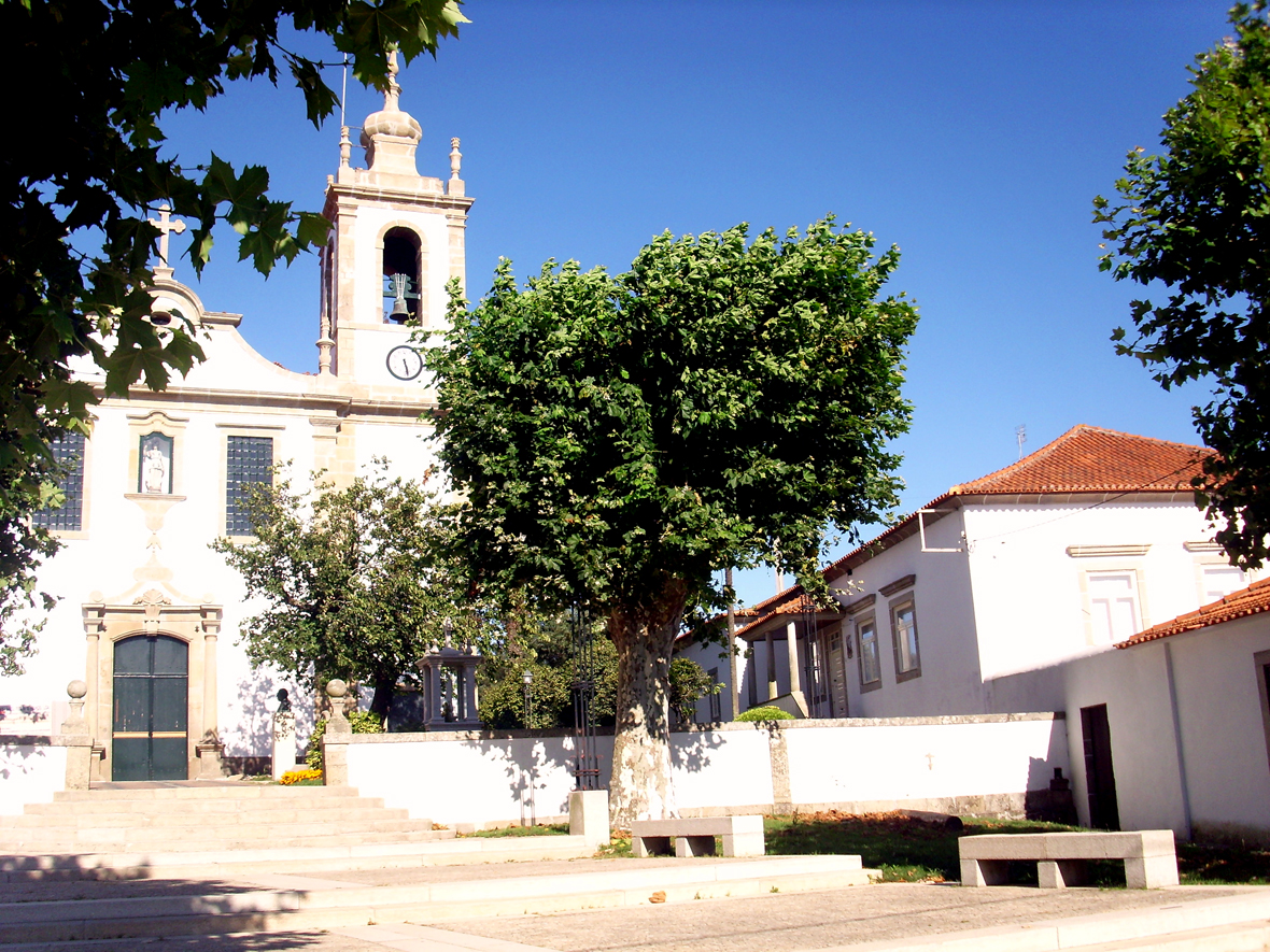
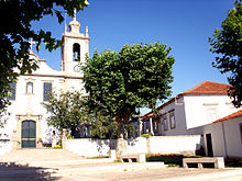 Kirchplatz von Beiriz
Beiriz gehört zum Kreis Póvoa de Varzim im Distrikt Porto, besitzt eine Fläche von 4,8 km² und hat 3.229 Einwohner (Stand: 2001).[1]
Einzelnachweise
- ↑ Daten zu Beiriz. alea.pt, abgerufen am 5. Juni 2011 (englisch).
Weblinks
- Karte der Freguesia Beiriz beim Instituto Geográfico do Exército
- Information zu Beiriz. cm-pvarzim.pt, abgerufen am 5. Juni 2011 (portugiesisch).
 Freguesias im Concelho Póvoa de Varzim
A Ver-o-Mar | Aguçadoura | Amorim | Argivai | Balasar | Beiriz | Estela | Laundos | Navais | Póvoa de Varzim | Rates | Terroso
Wikimedia Foundation.
Schlagen Sie auch in anderen Wörterbüchern nach:
Beiriz — Saltar a navegación, búsqueda Beiriz Concelho Póvoa de Varzim Área 4,31 km² Población 3 229 hab. (2001) Densidad 749,2 hab./km² … Wikipedia Español
Beiriz — Infobox Parish pt official name = Beiriz image coat of arms = Brasao PVZ beiriz.jpg Municipality = Póvoa de Varzim area total = 4.31 population total = 3,229 (2001) population density = 749.2 website = none footnotes =Beiriz is a Portuguese… … Wikipedia
Tapices de Beiriz — Los tapices de Beiriz (en portugués Tapetes de Beiriz) es una forma de artesanía tradicional poveira, fabricados en la freguesía de Beiriz. Son tapices notables, premiados y con demanda nacional e internacional, lo que lleva a que los precios… … Wikipedia Español
Póvoa de Varzim — Saltar a navegación, búsqueda Póvoa de Varzim … Wikipedia Español
Póvoa de Varzim — ] Culture and contemporary lifeJunqueira is Póvoa de Varzim s busiest and most traditional shopping district, the main street opened in the 18th century and is a pedestrian area since 1955. Currently, it has about 1 km (or 0.62 mi) of pedestrian… … Wikipedia
Geography of Póvoa de Varzim — Póvoa de Varzimcoord|41|22|59|N|8|46|00|W|display=title, with an area of 82.06 square kilometres, lies between the Cávado and Ave rivers, or, from a wider perspective, halfway between the Minho and Douro rivers on the northern coast of Portugal… … Wikipedia
Civil Parishes of Póvoa de Varzim — Map with the 12 civil parishes of Póvoa de Varzim Póvoa de Varzim is divided into twelve civil parishes. These are grouped in two areas: urban (city) and rural. Between 1308 and 1836, the municipality was made up of a single parish territory of… … Wikipedia
Culture of Póvoa de Varzim — Portuguese painted tile work with Povoan boats and siglas poveiras marks. The culture of Póvoa de Varzim, in Portugal, deriving from the different working classes and with influences arriving from the maritime route from Baltic Sea to the… … Wikipedia
Бейриш — Район Бейриш Beiriz Страна ПортугалияПортугалия … Википедия
Calves (Póvoa de Varzim) — Calves is a Portuguese hamlet and street located in the parishes of Beiriz and Argivai in the municipality of Póvoa de Varzim, part of it is included in the city despite its built up continuity as part of Gândara district in Argivai, it is… … Wikipedia
Beiriz


18+
© Academic, 2000-2026
- Kontaktieren Sie uns: Unterstützung, Werbung
Wörterbücher Export, schritte mit PHP, Joomla, Drupal, WordPress, MODx.