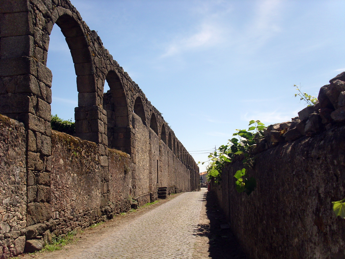
Argivai

Argivai
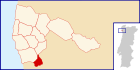
Argivai
Wappen Karte
Wappen von Argivai Lagekarte für Argivai
Basisdaten
Region: Norte
Unterregion: Grande Porto
Distrikt: Porto
Concelho: Póvoa de Varzim
Koordinaten: 41° 23′ N, 8° 44′ W41.375453-8.732586Koordinaten: 41° 23′ N, 8° 44′ W
Einwohner: 2.187 (Stand: 2001)
Fläche: 2,8 km²
Bevölkerungsdichte: 781 Einwohner pro km²
Politik
Adresse der Gemeindeverwaltung: Junta de Freguesia de Argivai
Largo do Padrão n.º 369
4490-203 Argivai
Webseite: jfargivai.com.sapo.pt

Vorlage:Infobox Ort in Portugal/Wartung/Art ist leer

Vorlage:Infobox Ort in Portugal/Wartung/Karte ist ausgefüllt


Vorlage:Infobox Ort in Portugal/Wartung/Höhe ist leer Vorlage:Infobox Ort in Portugal/Wartung/PLZ ist leer Vorlage:Infobox Ort in Portugal/Wartung/Bürgermeister ist leer


Vorlage:Infobox Ort in Portugal/Wartung/Email ist leer

Argivai ist eine Gemeinde im Norden Portugals.

Das Aqueduto de Santa Clara in der Gemeinde

Argivai gehört zum Kreis Póvoa de Varzim im Distrikt Porto, besitzt eine Fläche von 2,8 km² und hat 2.187 Einwohner (Stand: 2001).[1]

Einzelnachweise

  1. Daten zu Argivai. alea.pt, abgerufen am 5. Juni 2011 (englisch).

Weblinks


Wikimedia Foundation.

Игры ⚽ Поможем решить контрольную работу

Schlagen Sie auch in anderen Wörterbüchern nach:

  • Argivai — Saltar a navegación, búsqueda Argivai Escudo …   Wikipedia Español

  • Argivai — Infobox Parish pt official name = Argivai image coat of arms = PVZ argivai.png Municipality = Póvoa de Varzim area total = 2.32 population total = 2,187 (2001) population density = 942.7 website = none footnotes =Argivai is a Portuguese parish… …   Wikipedia

  • Póvoa de Varzim — Saltar a navegación, búsqueda Póvoa de Varzim …   Wikipedia Español

  • Gândara (Póvoa de Varzim) — Gândara Parte Gândara Colores ND Símbolo ND Asociación ND Freguesía(s) Póvoa de Varzim (freguesía), Argivai Parroquia(s) …   Wikipedia Español

  • Civil Parishes of Póvoa de Varzim — Map with the 12 civil parishes of Póvoa de Varzim Póvoa de Varzim is divided into twelve civil parishes. These are grouped in two areas: urban (city) and rural. Between 1308 and 1836, the municipality was made up of a single parish territory of… …   Wikipedia

  • Póvoa de Varzim neighbourhoods — The Póvoa de Varzim City Planning Commission divided the city into 11 districts ( partes , lit. parts ), each with distinctive zones ( zonas ).While most of these assigned boundaries match with traditional local designations, some others differ… …   Wikipedia

  • Арживай — Район Арживай Argivai Герб …   Википедия

  • Póvoa de Varzim — ] Culture and contemporary lifeJunqueira is Póvoa de Varzim s busiest and most traditional shopping district, the main street opened in the 18th century and is a pedestrian area since 1955. Currently, it has about 1 km (or 0.62 mi) of pedestrian… …   Wikipedia

  • Festivals of Póvoa de Varzim — There are several religious or popular celebrations (the Festa ), pilgrimages ( romarias ) and processions ( procissão ) in Póvoa de Varzim, Portugal. Most of these festivals occur around the Holy week or during the summer.Festival of Saint… …   Wikipedia

  • Geography of Póvoa de Varzim — Póvoa de Varzimcoord|41|22|59|N|8|46|00|W|display=title, with an area of 82.06 square kilometres, lies between the Cávado and Ave rivers, or, from a wider perspective, halfway between the Minho and Douro rivers on the northern coast of Portugal… …   Wikipedia

Share the article and excerpts

Direct link
Do a right-click on the link above
and select “Copy Link”