- Buckhorn State Park
-
Buckhorn State Park IUCN-Kategorie V 

Lage: Necedah, Wisconsin, USA Geographische Lage: 43° 56′ N, 90° 0′ W43.939166666667-90.003888888889Koordinaten: 43° 56′ 21″ N, 90° 0′ 14″ W Fläche: 2,829 km² Einrichtungsdatum: 1971 Verwaltungsbehörde: Wisconsin Department of Natural Resources 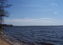
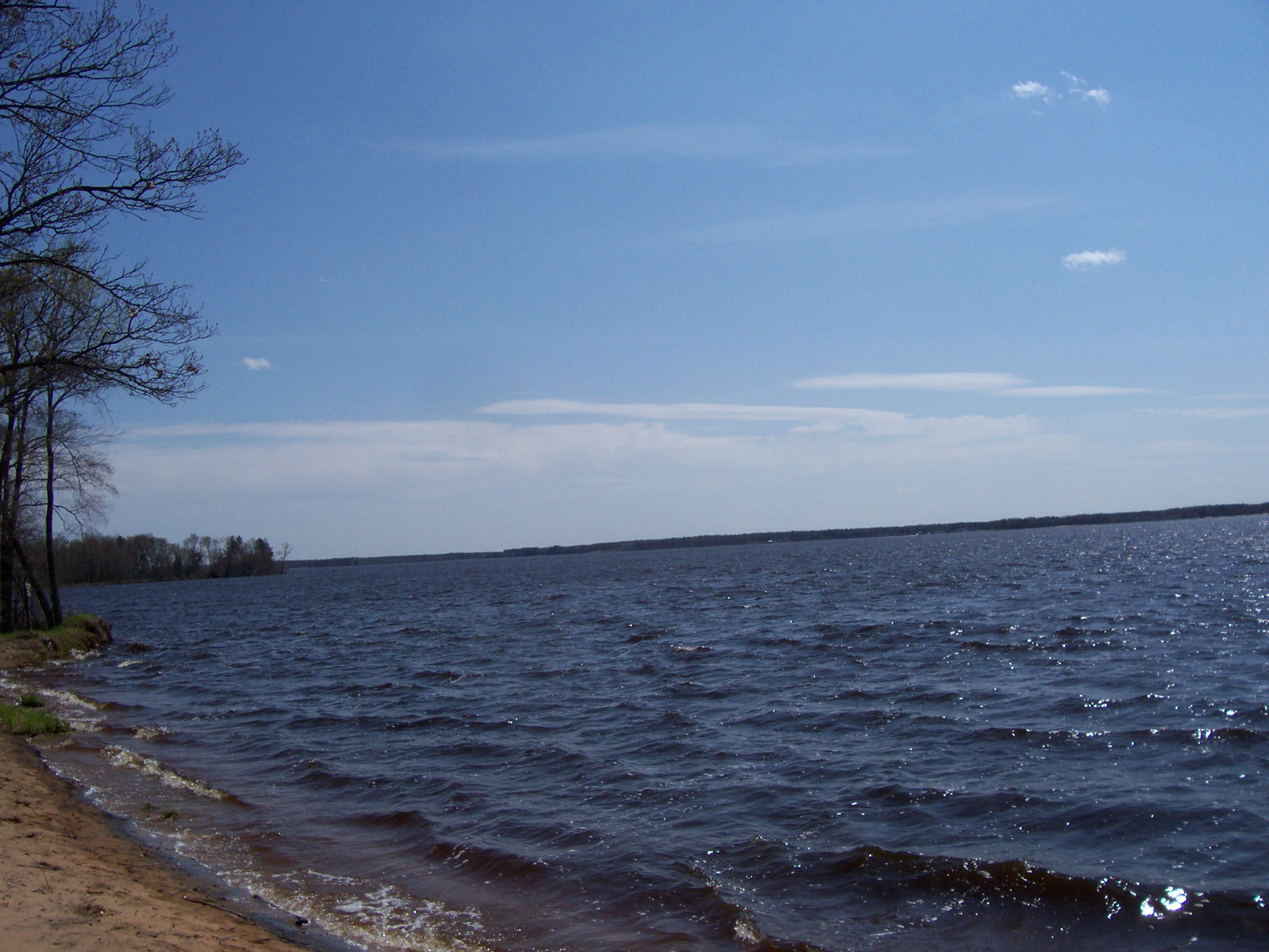
Der Buckhorn State Park ist ein State Park auf einer Halbinsel im Castle Rock Lake am Zusammenfluss vom Yellow River mit dem Wisconsin River.
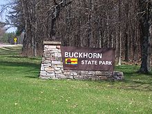 Willkommensschild
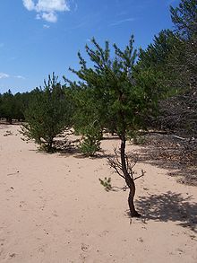 Sanddüne
Fauna
Im State Park kommen am Wasser Biber, Bisamratten, Enten, Kanadagänse, Kanadareiher, Nerze, Otter und Reiher vor. An Land sind Koyoten, Schwarzbären, Truthähne und Weißwedelhirsche anzutreffen. Als Vogelarten sind Eulen, Fischadler und Habichte zu nennen.
Flora
Im State Park kommen neben Eichen auch Astern, Bergamotten, Euphorbia corollata und Goldruten vor. Die Grasarten sind Andropogon gerardii und Sorghastrum nutans.
Weblinks
- Offizielle Webseite des State Parks
- Karte des State Parks (PDF-Dokument, 216 KB)
- Buckhorn State Park im Geographic Names Information System des United States Geological Survey
Amnicon Falls | Aztalan | Belmont Mound | Big Bay | Big Foot Beach | Blue Mound | Brunet Island | Buckhorn | Capital Springs | Copper Culture | Copper Falls | Council Grounds | Devil’s Lake | Governor Dodge | Governor Nelson | Governor Thompson | Harrington Beach | Hartman Creek | Heritage Hill | High Cliff | Interstate | Kinnickinnic | Kohler-Andrae | Lake Kegonsa | Lake Wissota | Lakeshore | Merrick | Mill Bluff | Mirror Lake | Natural Bridge | Nelson Dewey | New Glarus Woods | Newport | Pattison | Peninsula | Perrot | Potawatomi | Rib Mountain | Roche-a-Cri | Rock Island | Rocky Arbor | Straight Lake | Tower Hill | Whitefish Dunes | Wildcat Mountain | Willow River | Wyalusing | Yellowstone Lake


Wikimedia Foundation.