- Thredbo River
-
Thredbo River
Crackenback River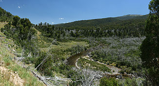
Thredbo River vom Alpine Way aus. Blick flussaufwärts.
Daten Lage New South Wales (Australien) Flusssystem Snowy River Abfluss über Snowy River → Bass Strait Quelle Dead Horse Gap (Kosciuszko-Nationalpark)
36° 31′ 54″ S, 148° 19′ 56,6″ O-36.531671148.33241550Quellhöhe 1.550 m[1] Mündung Snowy River -36.348333333333148.60861111111918Koordinaten: 36° 20′ 54″ S, 148° 36′ 31″ O
36° 20′ 54″ S, 148° 36′ 31″ O-36.348333333333148.60861111111918Mündungshöhe 918 m[1] Höhenunterschied 632 m Länge 40,3 km[1] Rechte Nebenflüsse The Big Boggy, Bull Creek, Little Thredbo River Linke Nebenflüsse Sawpit Creek Durchflossene Stauseen Lake Jindabyne Kleinstädte Thredbo Village Der Thredbo River, früher auch Crackenback River genannt, ist ein Fluss im Südosten des australischen Bundesstaates New South Wales und entspringt unterhalb der Dead Horse Gap, einem Pass am Alpine Way. Das Flusstal verläuft parallel zum Tal des Snowy River ca. 8 km südöstlich in nordöstlicher Richtung. Die einzige Siedlung im Tal ist Thredbo Village, ein bekannter Wintersportort.
Der Thredbo River fließt in den Lake Jindabyne und damit in den Snowy River.
Weblinks
Einzelnachweise
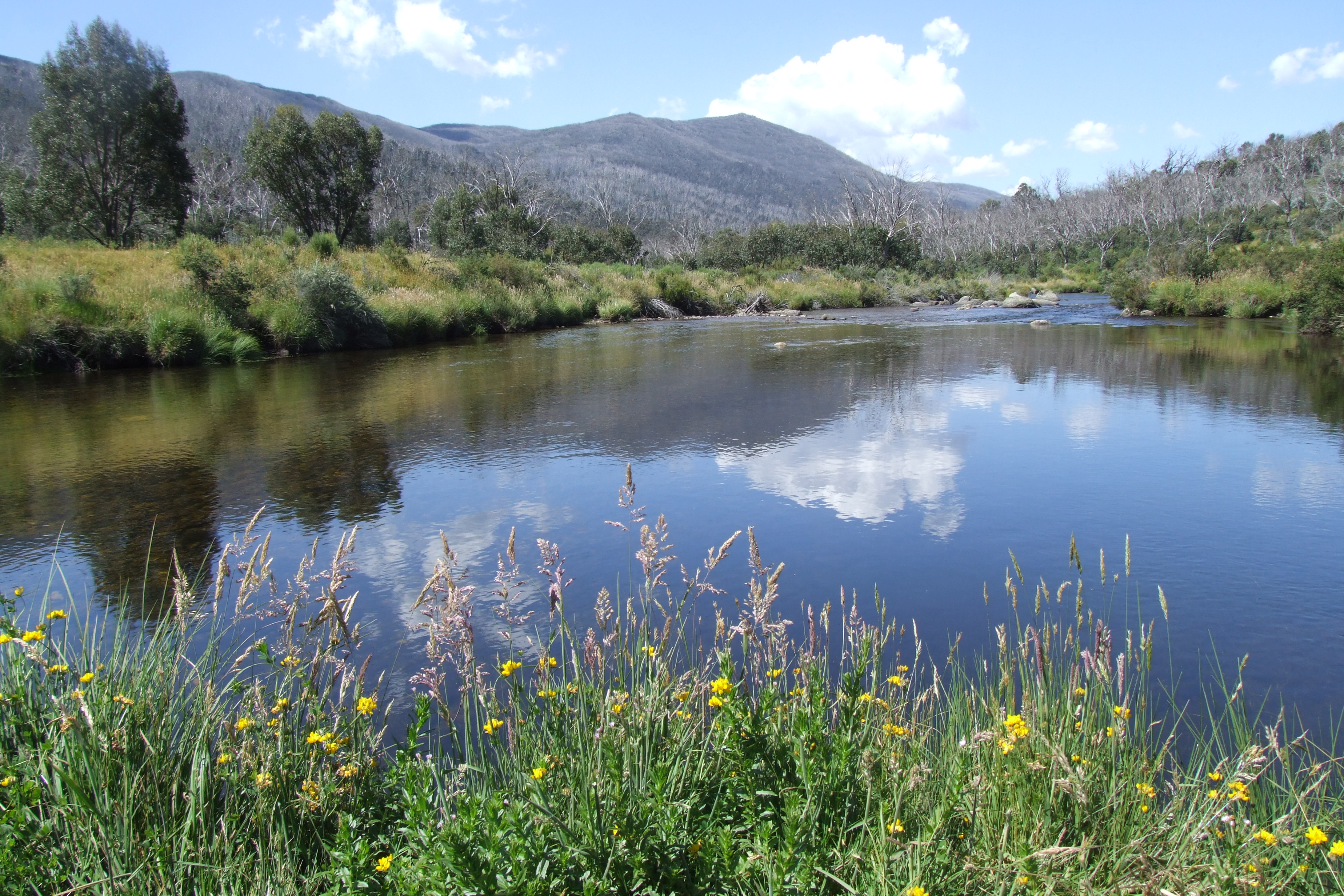
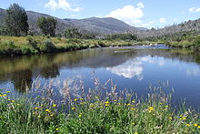 Thredbo River beim Diggings Campground im Kosciuszko-Nationalpark

Wikimedia Foundation.