Ettrick-Bridge — ETTRICK BRIDGE, a village, in the parish of Yarrow, county of Selkirk, 7 miles (W. S. W.) from Selkirk, containing 108 inhabitants. It is situated in the eastern part of the parish, on the Ettrick water, and is chiefly inhabited by persons… … A Topographical dictionary of Scotland
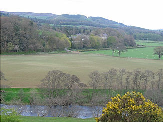
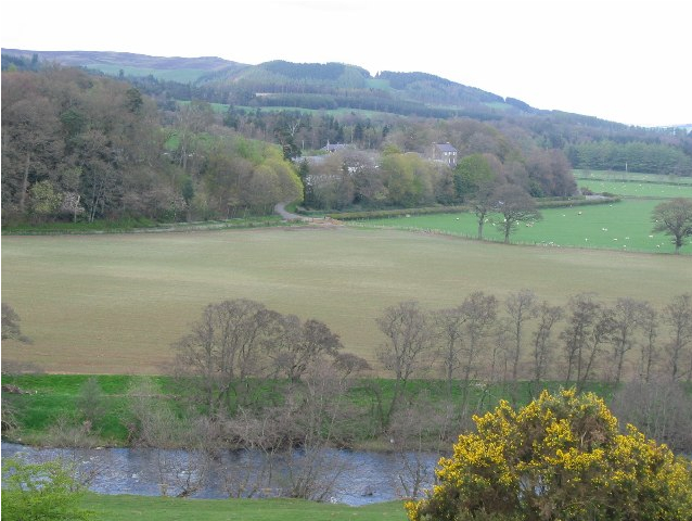
Ettrick — ETTRICK, a parish, in the county of Selkirk, 18½ miles (S. W.) from Selkirk; containing 525 inhabitants. The name, of uncertain origin, is supposed by some to be in the Gaelic language descriptive of the river on which Ettrick is situated. The … A Topographical dictionary of Scotland
Ettrick — Ettrick, VA U.S. Census Designated Place in Virginia Population (2000): 5627 Housing Units (2000): 1673 Land area (2000): 2.986705 sq. miles (7.735529 sq. km) Water area (2000): 0.040360 sq. miles (0.104531 sq. km) Total area (2000): 3.027065 sq … StarDict's U.S. Gazetteer Places
Ettrick, VA — U.S. Census Designated Place in Virginia Population (2000): 5627 Housing Units (2000): 1673 Land area (2000): 2.986705 sq. miles (7.735529 sq. km) Water area (2000): 0.040360 sq. miles (0.104531 sq. km) Total area (2000): 3.027065 sq. miles… … StarDict's U.S. Gazetteer Places
Ettrick, WI — U.S. village in Wisconsin Population (2000): 521 Housing Units (2000): 254 Land area (2000): 0.652888 sq. miles (1.690971 sq. km) Water area (2000): 0.000000 sq. miles (0.000000 sq. km) Total area (2000): 0.652888 sq. miles (1.690971 sq. km) FIPS … StarDict's U.S. Gazetteer Places
Ettrick, Virginia — Infobox Settlement official name = Ettrick, Virginia settlement type = CDP nickname = motto = imagesize = image caption = image mapsize = 250px map caption = Location of Ettrick, Virginia mapsize1 = map caption1 = subdivision type = Country… … Wikipedia
Loch Ettrick — Infobox lake lake name = Loch Ettrick image lake = caption lake = image bathymetry = caption bathymetry = location = Dumfries and Galloway, Scotland coords = Coord|55|13|35|N|3|39|35|W|region:GB type:waterbody|display=inline,title type = inflow … Wikipedia
Manor Water — The Manor Water is a river in the Scottish Borders area of Scotland. It rises in the Ettrick Forest and flows into the River Tweed one mile south of Peebles. See also List of places in the Scottish Borders List of places in Scotland List of… … Wikipedia
Moffat Hills — The Moffat hills[1] are a range of hills in the Southern Uplands of Scotland. They form a distinctly triangular shape with a west facing side, a north facing side, and a south east facing side. It is 17 kilometres from east to west across this… … Wikipedia
Newstead, Scottish Borders — The railway bridge at Leaderfoot Coordinates … Wikipedia