- Jastrabie pri Michalovciach
-
Jastrabie pri Michalovciach
Wappen Karte 
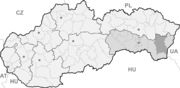

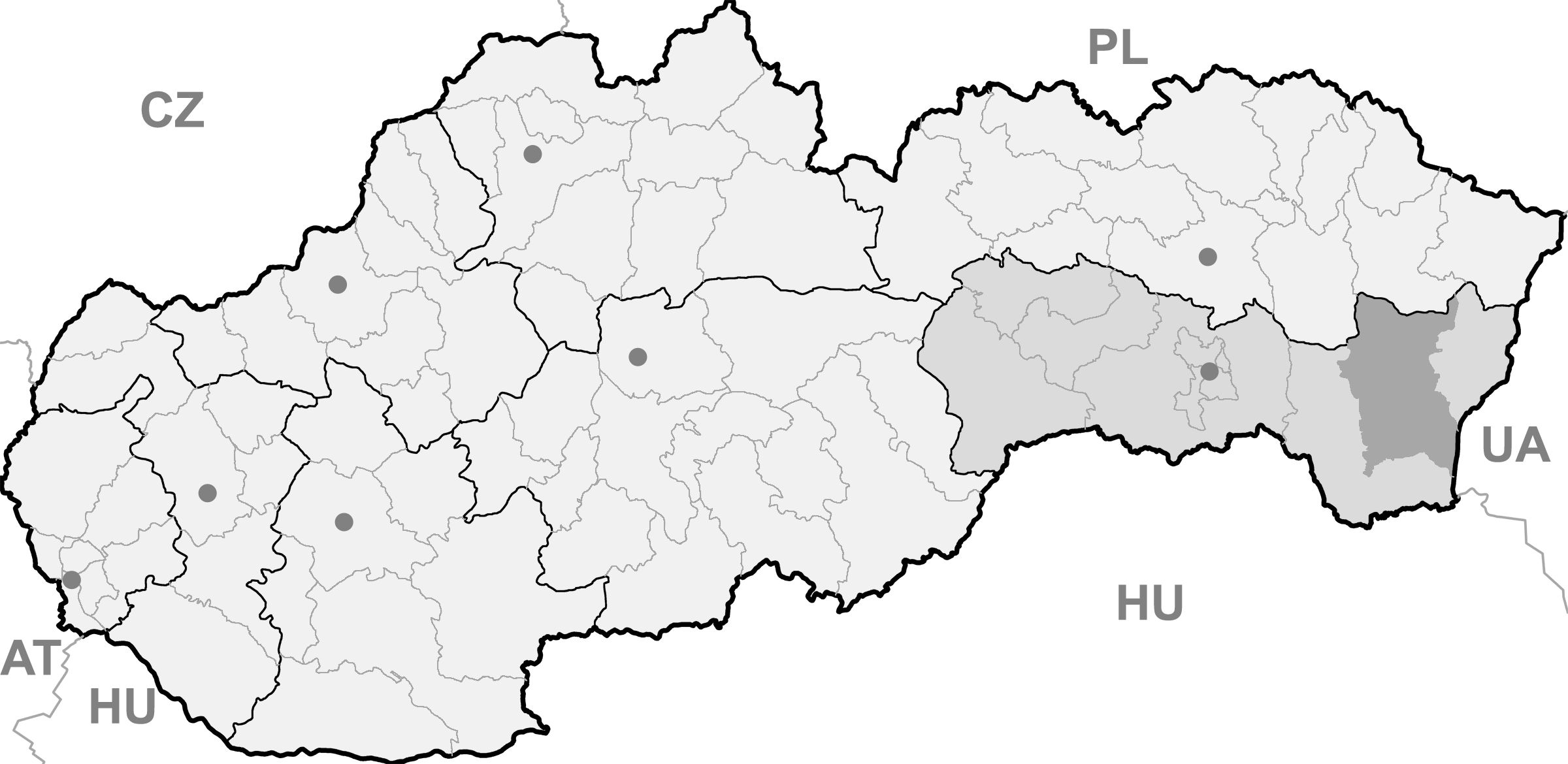
Jastrabie pri Michalovciach BasisdatenKraj: Košický kraj Okres: Michalovce Region: Dolný Zemplín Fläche: 5,744 km² Einwohner: 320 (31. Dez. 2010) Bevölkerungsdichte: 55,71 Einwohner je km² Höhe: 122 m n.m. Postleitzahl: 072 11 (Postamt Čečehov) Telefonvorwahl: 0 56 Geographische Lage: 48° 43′ N, 22° 2′ O48.71388888888922.03122Koordinaten: 48° 42′ 50″ N, 22° 1′ 48″ O Kfz-Kennzeichen: MI Gemeindekennziffer: 522546 StrukturGemeindeart: Gemeinde Verwaltung (Stand: Juli 2011)Bürgermeister: Miroslav Onduško Adresse: Obecný úrad Jastrabie pri Michalovciach
č. 53
072 11 ČečehovWebpräsenz: www.jastrabieprimichalovciach.ocu.sk Gemeindeinformation
auf portal.gov.skStatistikinformation
auf statistics.skJastrabie pri Michalovciach (slowakisch 1927–1960 „Jastrabie“ - bis 1927 „Jastrebie“; ungarisch Alsókánya - bis 1907 Jesztreb) ist ein Ort und eine Gemeinde im Okres Michalovce (Košický kraj) im äußersten Osten der Slowakei, mit 320 Einwohnern (Stand 31. Dezember 2010).
Inhaltsverzeichnis
Geographie
Der Ort liegt im Ostslowakischen Tiefland, 12 Kilometer von Michalovce entfernt.
Der Name ist der längste Ortsname in der Slowakei, mit 25 Zeichen ohne Leerzeichen (im Slowakischen jedoch 23, da das „ch“ als ein Buchstabe zählt).
Geschichte
Jastrabie wurde zum ersten Mal 1448 schriftlich erwähnt und gehörte den Adeligen von Großmichel. Obwohl im 15. Jahrhundert war es ein mittelgroßes Dorf, verließen in den nächsten Jahrhunderten die Einwohner das Dorf, sodass 1715 die Siedlung nicht mehr existierte. Erst 1720 wurde der Ort wieder bevölkert. 1828 waren 51 Häuser und 408 Einwohner gezählt. Wie in der Vergangenheit auch heute ist Jastrabie überwiegend ein landwirtschaftliches Dorf.
Bauwerke
- römisch-katholische Kirche aus dem Jahr 1934
Weblinks
Gemeinden im Okres MichalovceBajany | Bánovce nad Ondavou | Beša | Bracovce | Budince | Budkovce | Čečehov | Čičarovce | Čierne Pole | Drahňov | Dúbravka | Falkušovce | Hatalov | Hažín | Hnojné | Horovce | Iňačovce | Ižkovce | Jastrabie pri Michalovciach | Jovsa | Kačanov | Kaluža | Kapušianske Kľačany | Klokočov | Krásnovce | Krišovská Liesková | Kusín | Lastomír | Laškovce | Lesné | Ložín | Lúčky | Malčice | Malé Raškovce | Markovce | Maťovské Vojkovce | Michalovce (Großmichel) | Moravany | Nacina Ves | Oborín | Oreské | Palín | Pavlovce nad Uhom | Petrikovce | Petrovce nad Laborcom | Poruba pod Vihorlatom (Nickelsdorf) | Pozdišovce | Ptrukša | Pusté Čemerné | Rakovec nad Ondavou | Ruská | Senné | Slavkovce | Sliepkovce | Staré | Strážske (Straschke) | Stretava | Stretavka | Suché | Šamudovce | Trhovište | Trnava pri Laborci | Tušice | Tušická Nová Ves | Veľké Kapušany | Veľké Raškovce | Veľké Slemence | Vinné | Vojany | Voľa | Vrbnica | Vysoká nad Uhom | Zalužice | Závadka | Zbudza | Zemplínska Široká | Zemplínske Kopčany | Žbince
Wikimedia Foundation.
Schlagen Sie auch in anderen Wörterbüchern nach:
Jastrabie pri Michalovciach — (Village) Administration Pays Slovaqu … Wikipédia en Français
Jastrabie pri Michalovciach — is a village and municipality in Michalovce District in the Kosice Region of eastern Slovakia.HistoryIn historical records the village was first mentioned in 1337.GeographyThe village lies at an altitude of 104 metres and covers an area of 5.742… … Wikipedia
Trnava pri Laborci — (Village) Administration Pays Slovaquie … Wikipédia en Français
Liste der Städte und Gemeinden in der Slowakei/H-Ľ — Übersicht H bis Ľ Teil 1 A bis G Teil 2 H bis Ľ Teil 3 M bis R Teil 4 S bis Ž Übersicht H CH I J K L Ľ H Städte und Gemeinden … Deutsch Wikipedia
Liste der Städte und Gemeinden in der Slowakei Teil 2 — Übersicht H bis Ľ Teil 1 A bis G Teil 2 H bis Ľ Teil 3 M bis R Teil 4 S bis Ž Übersicht H CH I J K L Ľ H Städte und Gemeinden … Deutsch Wikipedia
List of municipalities and towns in Slovakia — Slovakia This is a comprehensive list of municipalities and towns in Slovakia. For lists of towns and municipalities sorted by Regions see the individual articles on Regions. For an outdated list of towns only in Slovakia see also List of towns… … Wikipedia
District de Michalovce — Michalovce Informations Pays … Wikipédia en Français
Michalovce — (Chef lieu de district) Héraldique … Wikipédia en Français
Košice Region — Geobox | Region name = Košice other name = category = Region image caption = image caption = symbol = symbol type = Coat of arms etymology = official name = motto = nickname = country = Slovakia country state = region = district = commune =… … Wikipedia
Michalovce — Coordinates: 48°44′57″N 21°54′05″E / 48.74917°N 21.90139°E / 48.74917; 21.90139 … Wikipedia
Jastrabie pri Michalovciach

18+
© Academic, 2000-2024
- Kontaktieren Sie uns: Unterstützung, Werbung
Wörterbücher Export, schritte mit PHP, Joomla, Drupal, WordPress, MODx.