- Kysucký Lieskovec
-
Kysucký Lieskovec
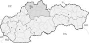
Wappen Karte 

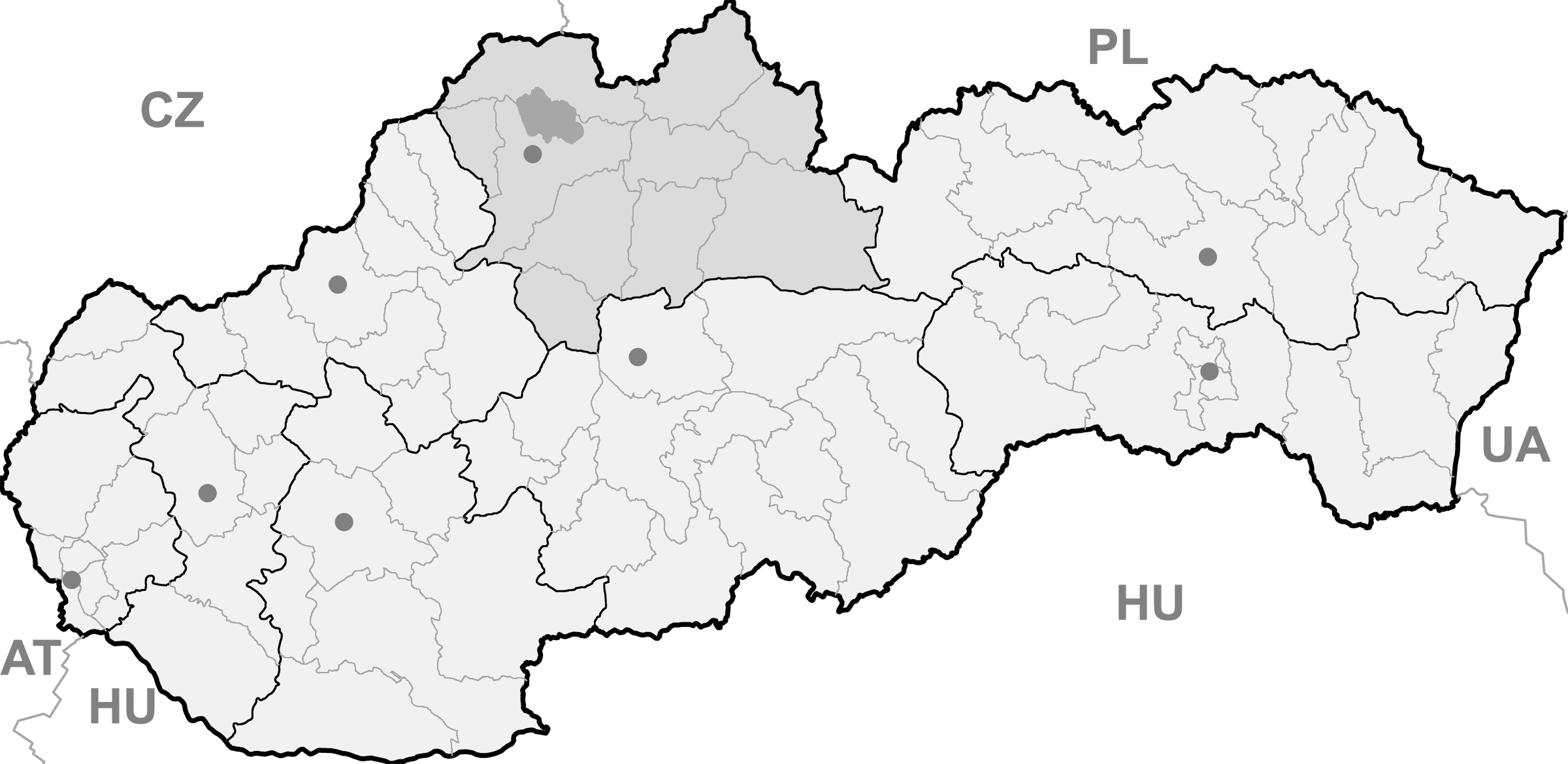
Kysucký Lieskovec BasisdatenKraj: Žilinský kraj Okres: Kysucké Nové Mesto Region: Severné Považie Fläche: 12,320 km² Einwohner: 2.347 (31. Dez. 2010) Bevölkerungsdichte: 190,5 Einwohner je km² Höhe: 376 m n.m. Postleitzahl: 023 34 Telefonvorwahl: 0 41 Geographische Lage: 49° 20′ N, 18° 49′ O49.337518.819444444444376Koordinaten: 49° 20′ 15″ N, 18° 49′ 10″ O Kfz-Kennzeichen: KM Gemeindekennziffer: 509264 StrukturGemeindeart: Gemeinde Verwaltung (Stand: Mai 2011)Bürgermeister: Štefan Mrenka Adresse: Obecný úrad Kysucký Lieskovec
29
023 34 Kysucký LieskovecWebpräsenz: www.kysuckylieskovec.sk Gemeindeinformation
auf portal.gov.skStatistikinformation
auf statistics.skKysucký Lieskovec (slowakisch 1927–1944 „Lieskovec nad Kysucou“ - bis 1927 nur „Lieskovec“; ungarisch Újhelymogyoród - bis 1907 Lieszkovec) ist eine Gemeinde im Nordwesten der Slowakei, mit 2347 Einwohnern (31. Dezember 2010). Administrativ gehört sie zum Okres Kysucké Nové Mesto, welcher zum Žilinský kraj gehört.
Geographie
Die zur traditionellen Landschaft Kysuce zählende Gemeinde liegt am Bach Lodnianka kurz vor dem Zusammenfluss mit der Kysuca, am dessen rechten Ufer die Ortschaft liegt. Sie erstreckt sich in Ost-West-Richtung im Tal von Lodnianka am Westhang des Berglands Kysucká vrchovina. Kysucký Lieskovec ist sechs Kilometer von Kysucké Nové Mesto und 17 Kilometer von Čadca entfernt.
Geschichte
Der Ort wurde zum ersten Mal 1438 als Leskovecz schriftlich erwähnt, nachdem sie gegen 1400 gegründet worden war und gehörte zum Herrschaftsgut von Budatín. 1598 gab es hier 13 Häuser und eine Mühle. 1784 schon 124 Häuser und 681 Einwohner. Die Ortschaft war in der Vergangenheit vor allem durch örtliche Drahtbinder und Herstellung von Körben bekannt.
1944–1946 war die Nachbargemeinde Lodno ein Teil von Kysucký Lieskovec.
Gemeinden im Okres Kysucké Nové MestoDolný Vadičov | Horný Vadičov | Kysucké Nové Mesto (Kischützneustadt) | Kysucký Lieskovec | Lodno | Lopušné Pažite | Nesluša | Ochodnica | Povina | Radoľa | Rudina | Rudinka | Rudinská | Snežnica
Wikimedia Foundation.
Schlagen Sie auch in anderen Wörterbüchern nach:
Kysucký Lieskovec — (Village) Administration … Wikipédia en Français
Kysucký Lieskovec — is a village and municipality in Kysucké Nové Mesto District in the Zilina Region of northern Slovakia.HistoryIn historical records the village was first mentioned in 1438.GeographyThe municipality lies at an altitude of 376 metres and covers an… … Wikipedia
Liste der Städte und Gemeinden in der Slowakei/H-Ľ — Übersicht H bis Ľ Teil 1 A bis G Teil 2 H bis Ľ Teil 3 M bis R Teil 4 S bis Ž Übersicht H CH I J K L Ľ H Städte und Gemeinden … Deutsch Wikipedia
Liste der Städte und Gemeinden in der Slowakei Teil 2 — Übersicht H bis Ľ Teil 1 A bis G Teil 2 H bis Ľ Teil 3 M bis R Teil 4 S bis Ž Übersicht H CH I J K L Ľ H Städte und Gemeinden … Deutsch Wikipedia
Ochodnica — Wappen Karte … Deutsch Wikipedia
Žilina Region — Geobox | Region name = Žilina other name = category = Region image caption = symbol = CoA Žilina Region Slovakia.png symbol type = Coat of arms etymology = official name = motto = nickname = country = Slovakia country state = region = district =… … Wikipedia
Kysucké Nové Mesto District — District Country Slovakia … Wikipedia
List of municipalities and towns in Slovakia — Slovakia This is a comprehensive list of municipalities and towns in Slovakia. For lists of towns and municipalities sorted by Regions see the individual articles on Regions. For an outdated list of towns only in Slovakia see also List of towns… … Wikipedia
Dolný Vadičov — Location of Kysucké Nové Mesto District in the Žilina Region Dolný Vadičov is a village and municipality in Kysucké Nové Mesto District in the Zilina Region of northern Slovakia. History In historical records the … Wikipedia
Ochodnica — Coordinates: 49°21′N 18°47′E / 49.35°N 18.783°E / 49.35; 18.783 … Wikipedia
Kysucký Lieskovec

18+
© Academic, 2000-2026
- Kontaktieren Sie uns: Unterstützung, Werbung
Wörterbücher Export, schritte mit PHP, Joomla, Drupal, WordPress, MODx.