Lofast

Lofast
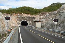
Westliche Einfahrt des Sørdalstunnels

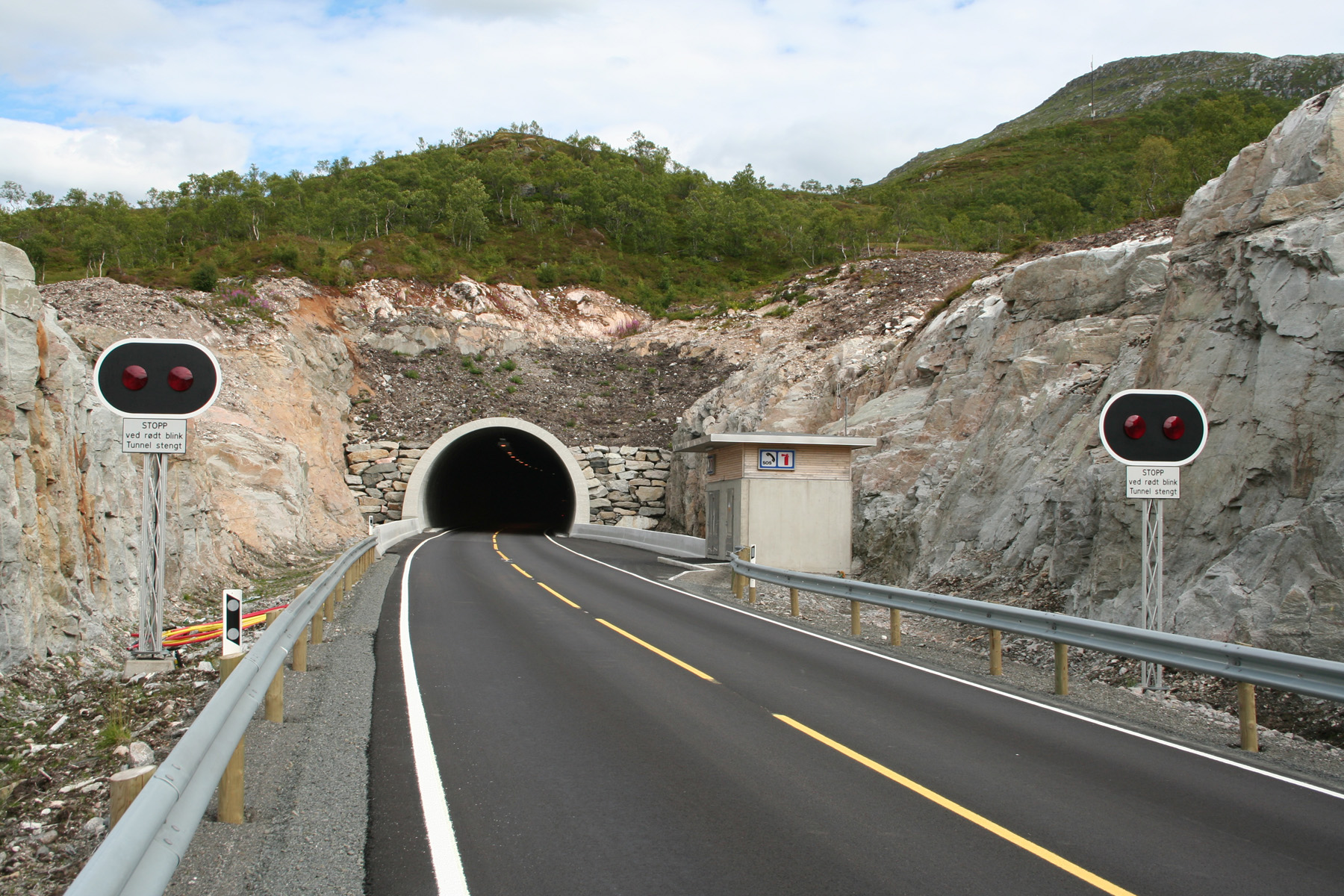
Die Schnellstraße Lofast (Norwegisch: Lofotens fastlandsforbindelse) ist Teil der Europastraße 10 und verbindet die Inselgruppe der Lofoten mit dem norwegischen Festland. Die Strecke ist von Fiskebøl auf Austvågøy bis Gullesfjord auf Hinnøya, wo die Lofast auf die bisherig schon bestehende Straßenverbindung SortlandNarvik stößt, 51 km lang und durchgehend zweispurig ausgebaut.

Der Storting hatte 1989 den Bau der Lofast beschlossen. Baubeginn war 1993, nach Diskussionen über die Streckenführung (im Gespräch war unter anderem ein etwa 8 km langer Tunnel unter dem Hadselfjord zwischen Melbu und Fiskebøl). Am 19. Dezember 1997 konnte das erste Teilstück der Straße von Fiskebol bis Myrland für den Verkehr freigeben werden, am 15. Oktober 1998 folgte die Raftsundbrua, die Brücke über den bekannten Raftsund, der die Lofoten von der Inselgruppe der Vesterålen trennt. Nach einer Unterbrechung der Arbeiten bis 2003 wurde die gesamte Verbindung am 1. Dezember 2007 eröffnet. Sie verkürzt seither die Strecke von Svolvær, dem Hauptort der Lofoten, nach Narvik von 272 auf 238 km. Die Lofoten sind damit durchgängig ohne Fährverbindungen bis Å i Lofoten auf der Insel Moskenesøy im Westen, in das norwegische Straßennetz integriert.

Brücken und Tunnels

Für die Lofast wurden zahlreiche Brücken und Tunnels gebaut, fast 30% der Strecke sind untertunnelt. Die wichtigsten Brücken und Tunnels der Lofast sind (von West nach Ost):

  • Meerestunnel: Sløverfjordtunnelen (Länge 3340 m) unter dem Sløverfjord zwischen den Inseln Årnøya und Holdøy - 112 Meter unter dem Meeresspiegel
  • Tunnel: Falkfjordtunnelen (396 m)
  • Tunnel: Myrlandstunnelen (1910 m)
  • Brücke: Raftsundbrua (711 m)
  • Tunnel: Raftsundtunnelen (1570 m)
  • Tunnel: Storåtunnelen (210 m)
  • Tunnel: Ingelsfjordtunnelen (1310 m)
  • Brücke: Vesterstraumen bru (305 m)
  • Brücke: Austerstraumen bru (196 m)
  • Tunnel: Sørdalstunnelen (6338 m)

Weblinks

 Commons: Lofoten – Sammlung von Bildern, Videos und Audiodateien
  • Übersicht – Informationen der Straßenbehörde

Wikimedia Foundation.

Игры ⚽ Нужно решить контрольную?

Schlagen Sie auch in anderen Wörterbüchern nach:

  • Lofoten Mainland Connection — ( no. Lofotens fastlandsforbindelse) or Lofast is a part of European route E10 that connects the Norwegian archipelago of Lofoten to the mainland, giving direct access to Lofoten from the surronding municipalties. The construction of this road… …   Wikipedia

  • Lofoten — Saltar a navegación, búsqueda Situación de Lofoten en Noruega Las islas Lofoten son un archipiélago y un distrito de Noruega, situado en el condado de Nordland, por encima del Círculo polar ártico …   Wikipedia Español

  • Лофаст — Подводный тоннель Слёверфьорд длиной 3,3 км Лофаст (норв. Lofast или норв. Lof …   Википедия

  • Islas Lofoten — (Lofoten) Reine, Lofoten, visto desde lo alto del monte Reinebringen (junio de 2003) Localización geográfica / administrativa …   Wikipedia Español

  • Hamarøy — Infobox Kommune name=Hamarøy county=Nordland idnumber=1849 landscape=Salten capital=Oppeid governor=Jan Folke Sandnes (H) governor as of=2003 arearank=103 area=1031 arealand=921 areapercent=0.32 population as of=2006 populationrank=342 population …   Wikipedia

  • Lofoten — is an archipelago and a traditional district in the county of Nordland, Norway. Though lying within the Arctic Circle, the archipelago experiences one of the world s largest elevated temperature anomalies relative to its high latitude. Etymology… …   Wikipedia

  • Hinnøya — Infobox Islands name = Hinnøya image caption = locator Location map|Nordland|lat=68.533333|long=15.833333|marksize=16 map custom = yes native name = native name link = location = North Norway coordinates = coord|68|32|N|15|50|E|region:NO… …   Wikipedia

  • Vesterålen — is a district in the county Nordland in Norway, just north of Lofoten. Geography Vesterålen consists of the municipalities Andøy, Bø, Hadsel, Sortland and Øksnes. Vesterålen is made up of several islands: Langøya, Andøya, Hadseløya, the western… …   Wikipedia

  • Svolvær — was separated from Vågan as a town, and municipality of its own, in 1919 but it was again merged with Vågan January 1, 1964. History and economyThe first town formation known in North Norway, Vågar, was situated around the narrow, natural harbor… …   Wikipedia

  • Raftsund Bridge — (Raftsundbrua) is a cantilever road bridge that crosses Raftsundet between Austvågøya and Hinnøya in Nordland county, Norway. The bridge is 711 metres long, the main span is 298 metres, and the maximum clearance to the sea is 45 metres. The… …   Wikipedia

Share the article and excerpts

Direct link
Do a right-click on the link above
and select “Copy Link”