- Milnathort
-
Milnathort Koordinaten 56° 14′ N, 3° 25′ W56.228333333333-3.4188888888889Koordinaten: 56° 14′ N, 3° 25′ W 

Milnathort Bevölkerung 1.738 (Zensus 2001) Verwaltung Post town KINROSS Postleitzahlenabschnitt KY13 Vorwahl 01577 Landesteil Scotland Unitary authority Perth and Kinross Britisches Parlament Ochil and South Perthshire Schottisches Parlament Perthshire South and Kinross 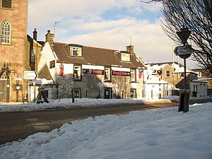 Zentrum von Milnathort
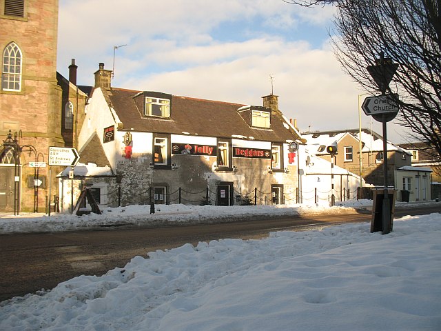
Milnathort ist eine Ortschaft in der schottischen Unitary Authority Perth and Kinross und der traditionellen Grafschaft Kinross-shire. Sie ist etwa 15 km westnordwestlich von Glenrothes und 37 km südlich von Perth am Fuße der Ochil Hills gelegen. Milnathort liegt direkt südlich der M90, die von Dunfermline nach Perth führt, und in ihrer Verlängerung als A90 den Firth of Forth in Richtung Edinburgh überquert. Eine Anbindung an das Eisenbahnnetz besteht nicht. Im Jahre 2001 verzeichnete Milnathort 1738 Einwohner.[1]
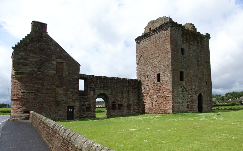
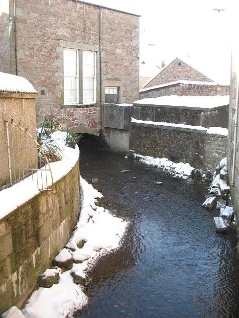
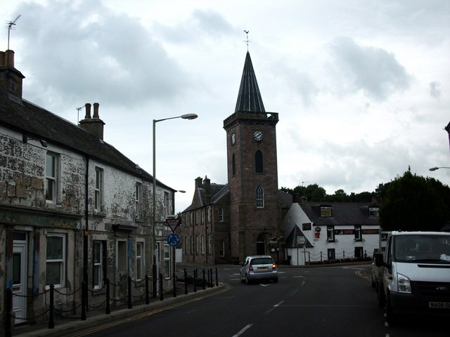
Milnathort entwickelte sich als Marktort des nahegelegenden Burleigh Castle.[2] Zwischen 1780 und 1828 war Milnathort Standort der Whiskybrennerei Hattonburn.[3][4] Im frühen 19. Jahrhundert half die Lage an der Kreuzung zweier Straßen zur Entwicklung der Ortschaft.[2] Im Jahre 2006 ließen starke Regenfälle den Back Burn, der durch Milnathort fließt, über die Ufer treten, was die Evakuierung eines Teils der Bevölkerung zur Folge hatte.[5]
-
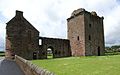
Überreste von Burleigh Castle
-
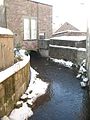
Back Burn
-
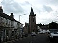
Hauptstraße aus Richtung Kinross
Einzelnachweise
-

Wikimedia Foundation.