Robertsdale (Alabama)

Robertsdale (Alabama)
Robertsdale
Spitzname: The Hub of Baldwin County
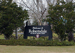
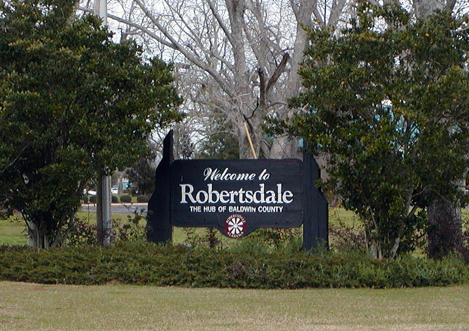
Das Willkommensschild in Robertsdale
Siegel von Robertsdale
Siegel
Lage von Robertsdale im Baldwin County und in Alabama
Baldwin County Alabama Incorporated and Unincorporated areas Robertsdale Highlighted.svg
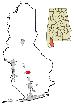
Basisdaten
Staat: Vereinigte Staaten
Bundesstaat: Alabama
County:

Baldwin County

Koordinaten: 30° 33′ N, 87° 42′ W30.554444444444-87.70555555555645Koordinaten: 30° 33′ N, 87° 42′ W
Zeitzone: Central Standard Time (UTC−6)
Einwohner: 3782 (Stand: 2000)
Bevölkerungsdichte: 268,2 Einwohner je km²
Fläche: 14,1 km² (ca. 5 mi²)
davon 14,1 km² (ca. 5 mi²) Land
Höhe: 45 m
Postleitzahlen: 36567,36574
Vorwahl: +1 251
FIPS: 01-65208
GNIS-ID: 0125703
Webpräsenz: www.robertsdale.org
Bürgermeister: Charles H. Murphy

Robertsdale ist eine US-amerikanische Stadt im Baldwin County in Alabama. Bei der Volkszählung 2000 hatte Robertsdale eine Einwohnerzahl von 3782.

Inhaltsverzeichnis

Demografie

Bei der Volkszählung der USA im Jahr 2000 hatte Robertsdale 3782 Einwohner, 1444 Haushalte und 1054 Familien. 94,26% der Bevölkerung waren Weiße und 3,31% Afro-Amerikaner. 28,1% der Bevölkerung war unter 18 Jahre alt, 13,5% waren älter als 65 Jahre. Das Durchschnittsalter betrug 34 Jahre. Das Durchschnittseinkommen lag bei 16.510 US-Dollar. Unter der Armutsgrenze lagen 11,2% der Bürger.

Schulen

In Robertsdale gibt es 9 schulische Einrichtungen (6 öffentliche und 3 privat betriebene):

Elementary schools

  • Rosinton Elementary School (öffentlich)
  • Robertsdale Elementary School (öffentlich)
  • Elsanor Elementary School (öffentlich)
  • St. Patrick Catholic School (privat)

Elementary und Middle School

  • Central Christian School (privat)
  • Faith Presbyterian Christian School (privat)

Middle Schools

  • Central Baldwin Middle School (öffentlich)

High Schools

  • South Baldwin Center for Technology (öffentlich)
  • Robertsdale High School (öffentlich)

Wikimedia Foundation.

Игры ⚽ Поможем написать реферат

Schlagen Sie auch in anderen Wörterbüchern nach:

  • Robertsdale, Alabama — Infobox Settlement official name = Robertsdale, Alabama settlement type = City nickname = The Hub of Baldwin County motto = imagesize = image caption = image mapsize = 250px map caption = mapsize1 = map caption1 = subdivision type = Country… …   Wikipedia

  • Robertsdale — ist der Name mehrerer Orte in den Vereinigten Staaten: Robertsdale (Alabama) Robertsdale (Indiana) Robertsdale (Pennsylvania) Diese Seite ist eine Begriffsklärung zur Unterscheidung mehrerer mit demselben Wort bezeichneter Begriffe …   Deutsch Wikipedia

  • Alabama locations by per capita income — Alabama has the thirty eighth highest per capita income in the United States of America, at $18,189 (2000). Its personal per capita income is $26,338 (2003), the fortieth highest in the country. Its median household income is $34,135 (2000),… …   Wikipedia

  • Robertsdale — 30° 33′ 16″ N 87° 42′ 20″ W / 30.554454, 87.705566 …   Wikipédia en Français

  • Robertsdale — Robertsdale, AL U.S. city in Alabama Population (2000): 3782 Housing Units (2000): 1573 Land area (2000): 5.460329 sq. miles (14.142187 sq. km) Water area (2000): 0.000000 sq. miles (0.000000 sq. km) Total area (2000): 5.460329 sq. miles… …   StarDict's U.S. Gazetteer Places

  • Robertsdale, AL — U.S. city in Alabama Population (2000): 3782 Housing Units (2000): 1573 Land area (2000): 5.460329 sq. miles (14.142187 sq. km) Water area (2000): 0.000000 sq. miles (0.000000 sq. km) Total area (2000): 5.460329 sq. miles (14.142187 sq. km) FIPS… …   StarDict's U.S. Gazetteer Places

  • Alabama State Route 104 — Infobox road state=AL type=AL route=104 length mi=11 length ref= [ [http://colepages.com/routes101125.html Highway Route Info Routes 101 125 ] ] length round= established= direction a=West direction b=East starting terminus= junction= ending… …   Wikipedia

  • Alabama State Route 59 — infobox road state=AL type=AL route=59 length mi=94 length ref=Fact|date=December 2007 length round=0 direction a=South starting terminus= junction= near Bay Minette direction b=North ending terminus= previous type=I previous route=59 next… …   Wikipedia

  • Bon Secour, Alabama — Bon Secour (postal zip code 36511) is an unincorporated community in Baldwin County, Alabama, United States. It lies along the eastern coastline of Bon Secour Bay (a contiguous bay that sits to the east of Mobile Bay), over convert|35|mi|km due… …   Wikipedia

  • Silverhill, Alabama — Infobox Settlement official name = Silverhill, Alabama settlement type = Town imagesize = image caption = image imagesize = image caption = image mapsize = 250px map caption = Location in Baldwin County and the state of Alabama mapsize1 = map… …   Wikipedia

Share the article and excerpts

Direct link
Do a right-click on the link above
and select “Copy Link”