- Soblahov
-
Soblahov
Wappen Karte 
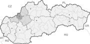

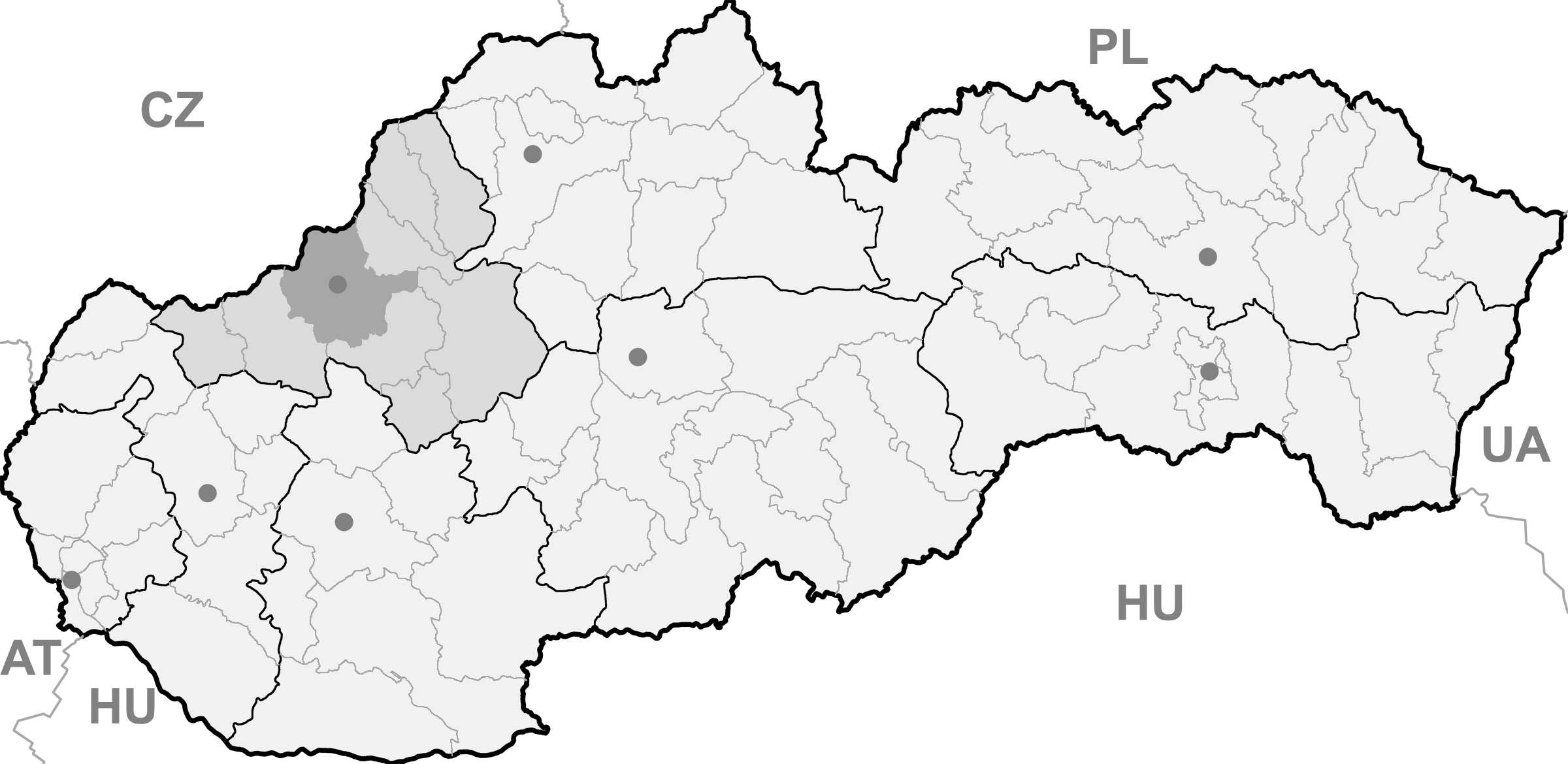
Soblahov BasisdatenKraj: Trenčiansky kraj Okres: Trenčín Region: Stredné Považie Fläche: 17,382 km² Einwohner: 2.138 (31. Dez. 2010) Bevölkerungsdichte: 123 Einwohner je km² Höhe: 268 m n.m. Postleitzahl: 913 38 Telefonvorwahl: 0 32 Geographische Lage: 48° 52′ N, 18° 5′ O48.86666666666718.083055555556268Koordinaten: 48° 52′ 0″ N, 18° 4′ 59″ O Kfz-Kennzeichen: TN Gemeindekennziffer: 506508 StrukturGemeindeart: Gemeinde Verwaltung (Stand: Juni 2011)Bürgermeister: Eva Ďuďáková Adresse: Obecný úrad Soblahov
362
913 38 SoblahovWebpräsenz: www.soblahov.sk Gemeindeinformation
auf portal.gov.skStatistikinformation
auf statistics.skSoblahov (deutsch Soblahof, ungarisch Cobolyfalu - bis 1907 Szoblahó) ist eine Gemeinde im Nordwesten der Slowakei, mit 2138 Einwohnern (Stand 31. Dezember 2010). Sie gehört zum Okres Trenčín, einem Kreis des übergeordneten Bezirks Trenčiansky kraj.
Geographie
Die Gemeinde liegt in der Považské podolie (etwa: Waag-Tallandschaft) im engen Tal des Baches Dolinový potok. Östlich von Soblahov erhebt sich das Gebirgszug Strážovské vrchy. Der Ort ist sieben Kilometer von Trenčín entfernt.
Geschichte
Soblahov wurde zum ersten Mal 1332 als Sabula schriftlich erwähnt und war der Burg Trentschin tributpflichtig. 1622 kamen die aus Mähren vertriebene Habaner in den Ort und gründeten hier einen Habaner Hof.
Gemeinden im Okres TrenčínAdamovské Kochanovce | Bobot | Dolná Poruba (Unterporub) | Dolná Súča | Drietoma | Dubodiel | Horná Súča | Horňany | Horné Srnie | Hrabovka | Chocholná-Velčice | Ivanovce | Kostolná-Záriečie (Kostel) | Krivosúd-Bodovka | Melčice-Lieskové | Mníchova Lehota | Motešice | Nemšová | Neporadza | Omšenie | Opatovce | Petrova Lehota | Selec | Skalka nad Váhom | Soblahov (Soblahof) | Svinná | Štvrtok | Trenčianska Teplá | Trenčianska Turná | Trenčianske Jastrabie | Trenčianske Mitice | Trenčianske Stankovce | Trenčianske Teplice (Trentschin-Teplitz) | Trenčín (Trentschin) | Veľká Hradná | Veľké Bierovce | Zamarovce
Wikimedia Foundation.
Schlagen Sie auch in anderen Wörterbüchern nach:
Soblahov — (Village) Administration Pays Slovaquie … Wikipédia en Français
Soblahov — Location of Trenčín District in the Trenčín Region Soblahov ( Hungarian: Cobolyfalu ) is a village and municipality in Trenčín District in the Trenčín Region of north western Slovakia … Wikipedia
Schlacht bei Trentschin — Teil von: Aufstand von Franz II. Rákóczi Denkmal an die Schlacht von Trentschin … Deutsch Wikipedia
Trenčín Region — Geobox | Region name = Trenčín other name = category = Region image caption = image caption = symbol = Trencin coat of arms.gif symbol type = Coat of arms etymology = official name = motto = nickname = country = Slovakia country state = region =… … Wikipedia
Trenčín District — District Country Slovakia Region ( … Wikipedia
List of municipalities and towns in Slovakia — Slovakia This is a comprehensive list of municipalities and towns in Slovakia. For lists of towns and municipalities sorted by Regions see the individual articles on Regions. For an outdated list of towns only in Slovakia see also List of towns… … Wikipedia
Nemšová — Coordinates: 48°57′38″N 18°06′59″E / 48.96056°N 18.11639°E / 48.96056; 18.11639 … Wikipedia
Drietoma — Location of Trenčín District in the Trenčín Region Drietoma ( Hungarian: Drétoma ) is a village and municipality in Trenčín District in the Trenčín Region of north western Slovakia. History … Wikipedia
Dolná Poruba — Location of Trenčín District in the Trenčín Region Dolná Poruba ( Hungarian: Bérces ) is a village and municipality in Trenčín District in the Trenčín Region of north western Slovakia. History … Wikipedia
Dolná Súča — Location of Trenčín District in the Trenčín Region Dolná Súča ( Hungarian: Alsószúcs ) is a village and municipality in Trenčín District in the Trenčín Region of north western Slovakia. History … Wikipedia
Soblahov

18+
© Academic, 2000-2025
- Kontaktieren Sie uns: Unterstützung, Werbung
Wörterbücher Export, schritte mit PHP, Joomla, Drupal, WordPress, MODx.