- Fayetteville (North Carolina)
-
Fayetteville Spitzname: All-American City, City of Dogwoods 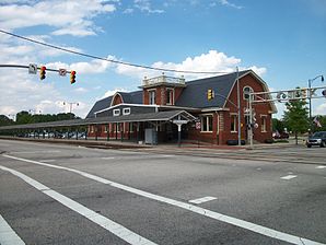
Bahnstation FayettevilleLage in North Carolina 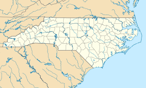

Fayetteville Basisdaten Gründung: 1762 Staat: Vereinigte Staaten Bundesstaat: North Carolina County: Koordinaten: 35° 4′ N, 78° 55′ W35.066666666667-78.917529Koordinaten: 35° 4′ N, 78° 55′ W Zeitzone: Eastern Standard Time (UTC−5) Einwohner: 168.033 (Stand: 2006) Bevölkerungsdichte: 1.104 Einwohner je km² Fläche: 155,3 km² (ca. 60 mi²)
davon 152,2 km² (ca. 59 mi²) LandHöhe: 29 m Vorwahl: +1 910 FIPS: 37-22920 GNIS-ID: 1020226 Webpräsenz: www.cityoffayetteville.org Bürgermeister: Anthony G. Chavonne Fayetteville ist eine US-amerikanische Großstadt im Cumberland County, dessen Verwaltungssitz sie ist, im US-Bundesstaat North Carolina.
Inhaltsverzeichnis
Geschichte
Historische Objekte
In Fayetteville steht das historische Henry McLean House. Das Haus befindet sich an der Hay Street auf Nummer 1006. Das um 1840 errichtete Gebäude wurde am 7. Juli 1983 vom National Register of Historic Places als historisches Denkmal mit der Nummer 83001864 aufgenommen.[1]
Universitäten
- Fayetteville State University
- Methodist College
- Fayetteville Technical Community College
Verkehr
Der Ort ist an die Interstate I-95 angebunden. Er liegt auch an der Amtrak-Bahnstrecke Silver Star von New York City nach Florida (Tampa / Miami). Der Bahnhof wurde 1911 erbaut und ist in das National Register of Historic Places eingetragen.
Städtepartnerschaft
Fayetteville ist durch eine Städtepartnerschaft mit der französischen Stadt Saint-Avold in Lothringen verbunden.
Söhne und Töchter der Stadt
- Ellen Baker (* 1953), Astronautin
- Harold Floyd „Tina“ Brooks (1932–1974), Jazzmusiker
- John Benton Callis (1828–1898), Geschäftsmann und Politiker (Republikanische Partei)
- Christopher Daniels (* 1971), Wrestler
- James C. Dobbin (1814–1857), Politiker, US-Marineminister
- Bertha Harris (1937–2005), Schriftstellerin und Autorin
- Henry Washington Hilliard (1808–1892), Rechtsanwalt und Politiker
- Terrell McIntyre (* 1977), Basketballspieler
- Julianne Moore (* 1960), Schauspielerin
- William Beck Ochiltree (1811–1867), Richter und texanischer Politiker
- Hiram Rhodes Revels (1827–1901), Politiker, erster Afroamerikaner im US-Senat
- Warren Winslow (1810–1862), Politiker, 33. Gouverneur von North Carolina
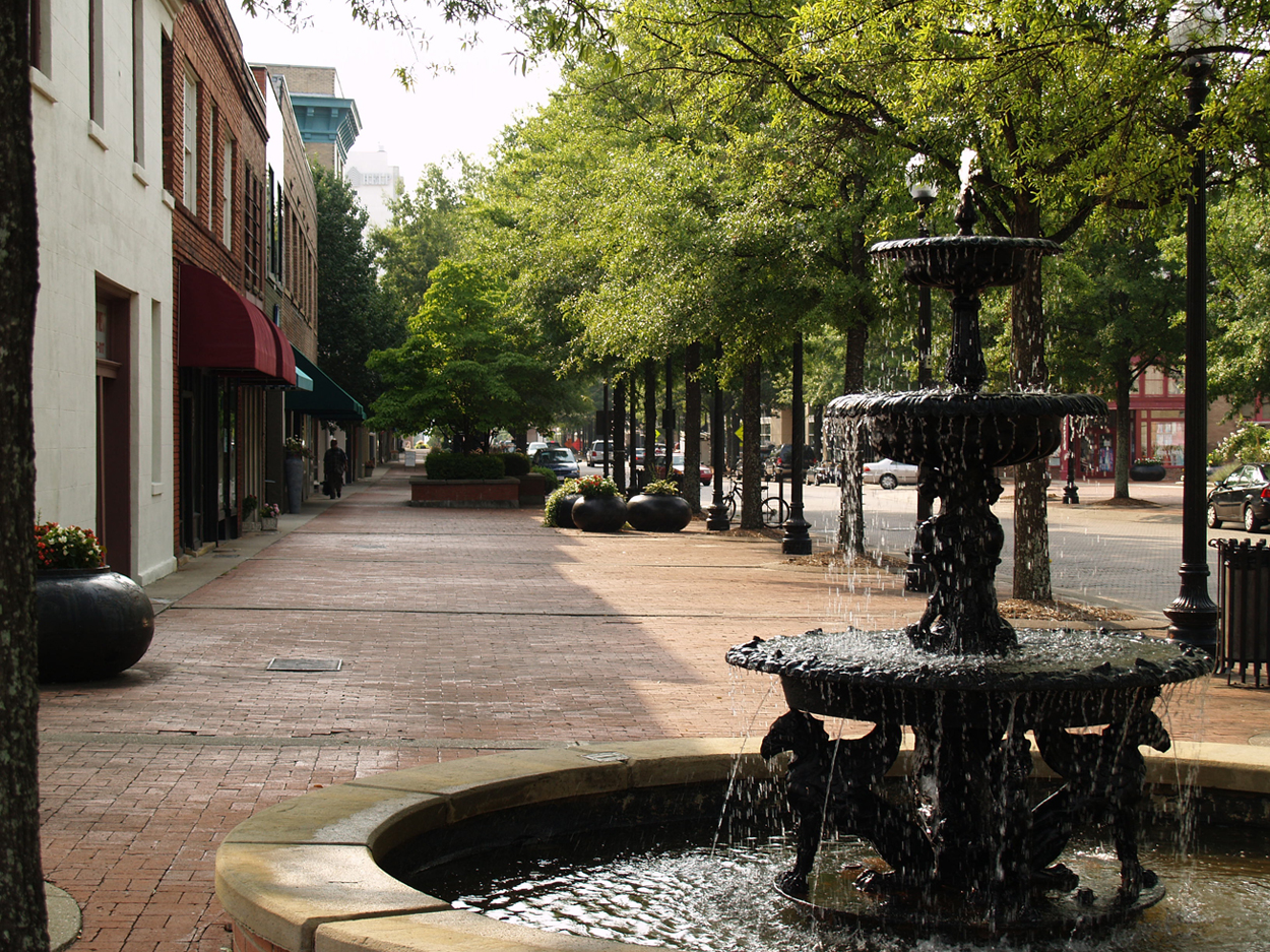
 Hay Street in Fayetteville
Weblinks
 Commons: Fayetteville, North Carolina – Sammlung von Bildern, Videos und Audiodateien
Einzelnachweise
Kategorien:- Ort in North Carolina
- County Seat in North Carolina


Wikimedia Foundation.