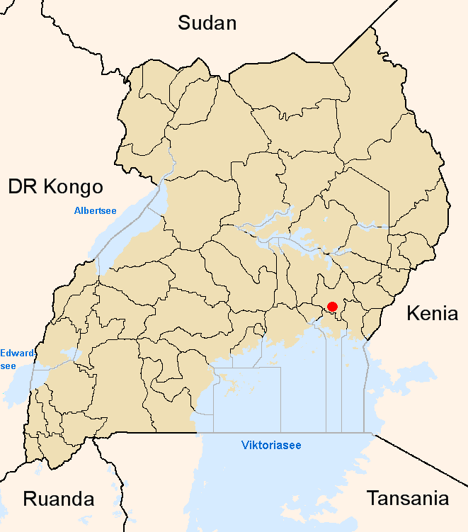
Iganga

Iganga
Karte
Lage von Iganga innerhalb Ugandas

Lage von Iganga innerhalb Ugandas

Basisdaten
Distrikt Iganga
Geographische Lage 0° 37′ N, 33° 29′ O0.6133333333333333.4766666666671150Koordinaten: 0° 37′ N, 33° 29′ O
Fläche  ?dep1
Einwohnerzahl 45.023 (Schätzung 2005)
Bevölkerungsdichte  ? Einwohner/km²
mittlere Höhe 1.150 m
Niederschlag  ? mm/a
Zeitzone UTC +3
UN/LOCODE UG –
Telefonvorwahl (+256) 0495

Iganga ist eine Stadt im Zentrum Ugandas mit 45.023 Einwohnern. Sie ist die Hauptstadt des gleichnamigen Distrikts Iganga.

Die Stadt ist der Standort des Hauptcampus der Busoga University.

Iganga besitzt einen kleinen Flugplatz. Fernstraßenverbindungen bestehen nach Jinja, Kaliro, Busembatia und Busia. Zudem hat der Ort Anschluss an die Uganda Railway, die von Mombasa am Indischen Ozean kommend nach Kampala weiterführt.

Bevölkerungsentwicklung

Jahr Einwohner
Zensus 1991 19.740
Zensus 2002 39.472
Schätzung 2005 45.023

Wikimedia Foundation.

Игры ⚽ Нужен реферат?

Schlagen Sie auch in anderen Wörterbüchern nach:

  • Iganga — Infobox Settlement official name = Iganga other name = native name = nickname = settlement type = motto = imagesize = image caption = flag size = image seal size = image shield = shield size = image blank emblem = blank emblem type = blank emblem …   Wikipedia

  • Iganga — Original name in latin Iganga Name in other language Igang, Iganga State code UG Continent/City Africa/Kampala longitude 0.60917 latitude 33.46861 altitude 1128 Population 45024 Date 2012 05 06 …   Cities with a population over 1000 database

  • Iganga District — Iganga is a district in eastern Uganda. Like other Ugandan districts, it is named after its chief town . It has a population of 716.311 in 2002.GeographyIganga is located in Central Uganda, about 25 km (16 miles) to the north of Lake Victoria.… …   Wikipedia

  • Iganga (Distrikt) — Karte Lage von Iganga Basisdaten Hauptstadt Iganga Geographisches Zentrum …   Deutsch Wikipedia

  • Iganga District — Admin ASC 2 Code Orig. name Iganga District Country and Admin Code UG.E.78 UG …   World countries Adminstrative division ASC I-II

  • Distrito de Iganga — Saltar a navegación, búsqueda El Distrito de Iganga se ubica en la región Este del país, coloreada con naranja. Iganga es un distrito de Uganda, ubicado al este del país. Su nombre proviene de su ciudad capital, la ciudad de Iganga. De Norte a… …   Wikipedia Español

  • Distrikt Iganga — Karte Lage von Iganga Basisdaten Hauptstadt Iganga Geographisches Zentrum …   Deutsch Wikipedia

  • UG-203 — Karte Lage von Iganga Basisdaten Hauptstadt Iganga Geographisches Zentrum …   Deutsch Wikipedia

  • Namutumba, Uganda — Namutumba …   Wikipedia

  • Mayuge District —   District   District location in Uganda …   Wikipedia

Share the article and excerpts

Direct link
Do a right-click on the link above
and select “Copy Link”