- Kardiotissa
-
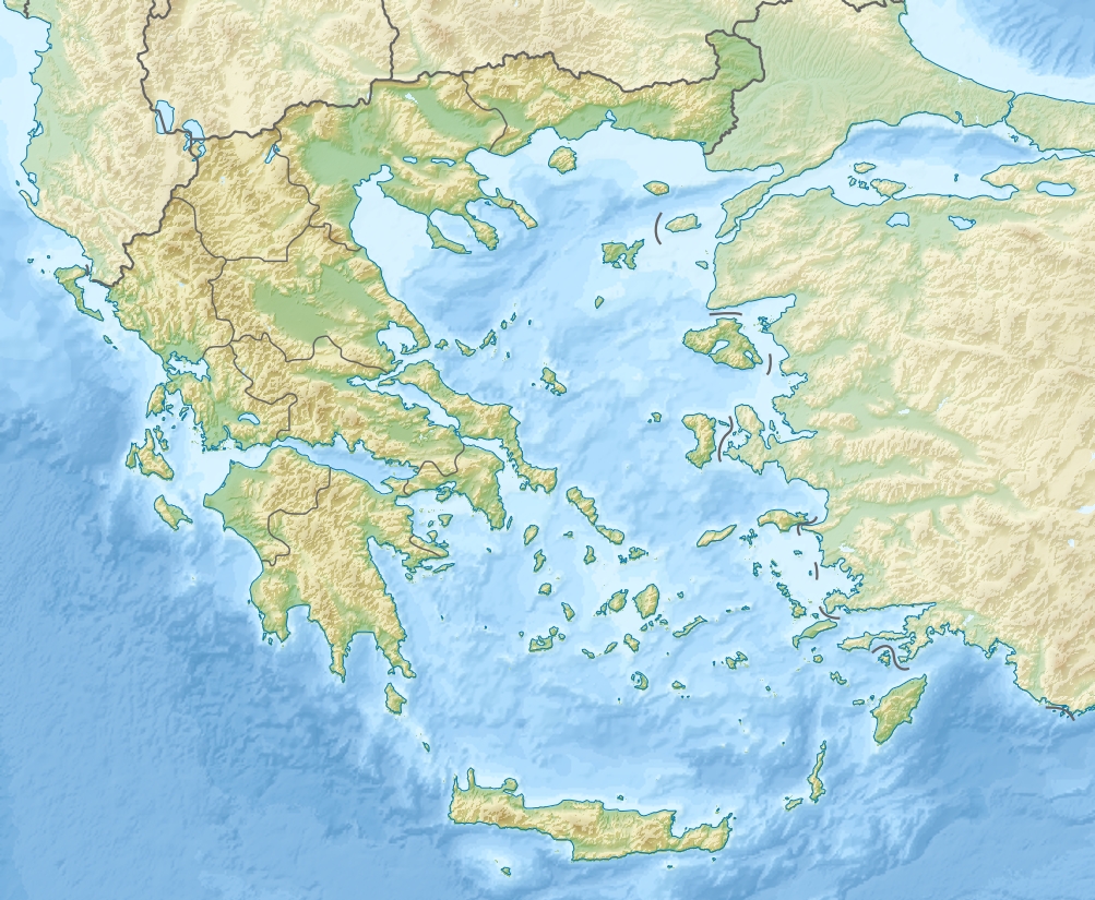
Kardiotissa Gewässer Mittelmeer Inselgruppe Kykladen Geographische Lage 36° 37′ 45″ N, 25° 1′ 0″ O36.62912325.016792Koordinaten: 36° 37′ 45″ N, 25° 1′ 0″ O 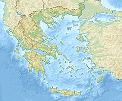

Länge 2,36 km Breite 650 m Fläche 1,43 km²[1] Einwohner (unbewohnt) Kardiotissa (griechisch Καρδιώτισσα (f. sg)) ist eine griechische Insel zwischen Folegandros und Sikinos. Die unbewohnte Kykladeninsel liegt etwa 2,7 m von der Südwestspitze von Sikinos entfernt, zu dem sie auch verwaltungstechnisch gehört.
Der französische Forschungsreisende Joseph Pitton de Tournefort beschrieb sie 1700 als einsame verlassene Insel, mit einer kleinen Kirche. Er vermutete, dass es sich um die von Strabon erwähnte Insel Lagousa (Λάγουσα) handelt.
Der Holländer Pasch van Krienen überlieferte 1771, dass auf der Kardia genannten Insel nur ein Hirte mit seiner Herde lebte. An der Nordspitze erwähnte er einen verfallenen Turm.
1888 wird von Alkiviadis Charilaou die Kirche Theotokou Kardiotissis (Θεοτόκου Καρδιωτίσσης) erwähnt, von der die Insel vermutlich ihren Namen erhalten hat.
Die Insel ist Teil des 74,43 km² großen Natura-2000-Gebietes Folegandros Ost bis Sikinos West (Φολέγανδρος ανατολική μέχρι δυτική Σίκινο) GR 4220004 und zugleich als Teil des 190 km² großen Important Bird Areas GR 157 Ios, Sikinos, Folegandros Island Group eingestuft.
Weblinks
- Kykladesnews (vom 8. April 2008; griechisch)
- Ministerium für Umwelt, Raumordnung und Öffentlichkeitsarbeit, Natura 2000 Gebiet GR 4220004, englisch
- BirdLife International, GR 157 Ios, Sikinos, Folegandros Island Group, englisch
Einzelnachweise
- ↑ Charles Arnold (Hrsg.): Die Inseln des Mittelmeers. Ein einzigartiger und vollständiger Überblick. 2. Auflage. marebuchverlag, Hamburg 2008, ISBN 3866480962.
Kategorien:- Unbewohnte Insel
- Insel (Europa)
- Insel (Ägäisches Meer)
- Insel (Kykladen)
- Insel der Region Südliche Ägäis
- Sikinos (Gemeinde)
Wikimedia Foundation.