- Lelant
-
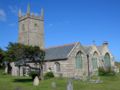
Lelant Gotische Kirche St Uny in Lelant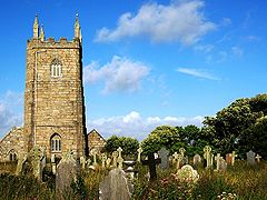
Koordinaten 50° 11′ N, 5° 26′ W50.1839-5.4397Koordinaten: 50° 11′ N, 5° 26′ W 

Lelant Verwaltung Post town ST. IVES Postleitzahlenabschnitt TR26 Vorwahl 01736 Landesteil England Region South West England Shire county Cornwall Zeremonielle Grafschaft Cornwall Unitary authority Cornwall Civil parish St Ives Britisches Parlament St Ives Lelant (Betonung auf der letzten Silbe, kornisch: Lalant) ist ein Dorf im ehemaligen District Penwith der Grafschaft Cornwall in England an der Mündung des Flusses Hayle und gehört zur Gemeinde des 3 Meilen entfernten St Ives. Der Bahnhof von Lelant ist der Ausgangspunkt für Park-and-ride nach St Ives. Die Fahrt mit einem der halbstündig verkehrenden Züge ist landschaftlich sehr reizvoll.
Erstmals schriftlich erwähnt wurde dieser Ort im Jahre 1170 als Lananta. Der Name ist abgeleitet von den kornischen Wörtern lann und der Heiligen St. Anta, was Ort der Kirche der heiligen Anta bedeutet. Im Mittelalter besaß Lelant einen Hafen an der Flussmündung, der aber bald versandete. Heute ist die Mündung des Hayle ein Salzsumpfland und kann nur von leichten Schiffen bei Flut befahren werden.
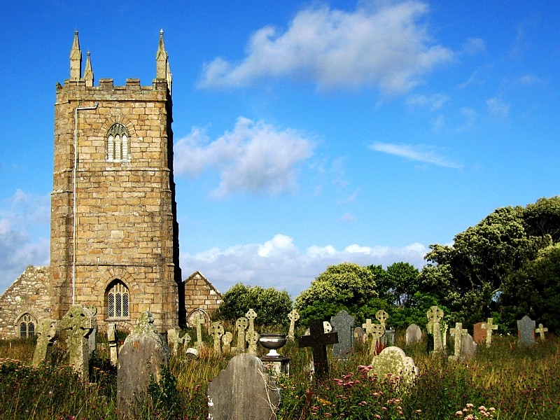
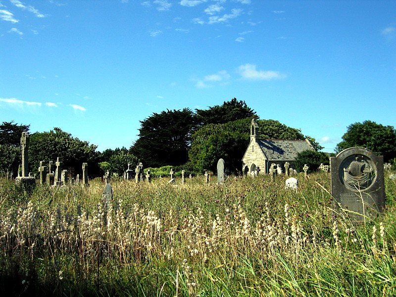
In den Sanddünen vor der Flussmündung liegt die gotische Kirche von St Uny, benannt nach dem irischen Missionar Uny aus dem 6. Jahrhundert und erbaut im 15. Jahrhundert. Da sie ständig der Gefahr ausgeliefert war, von den Dünen überhäuft zu werden, legte man umfangreiche Anpflanzungen von Strandhafergras zur Festigung der Sanddünen an. Unmittelbar an die Kirche grenzend liegt in den Dünen der Golfplatz des West Cornwall Golf Club, der sehr schöne Blicke von der Carbis Bay über die St Ives Bay zum Godrevy Point bietet.
Die gerade auch in Deutschland bekannte Schriftstellerin Rosamunde Pilcher wurde 1924 in Lelant geboren und in St Uny getauft.
Bilder
-
St Uny von Norden
-
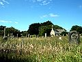
Friedhof von St Uny
-
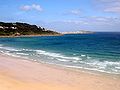
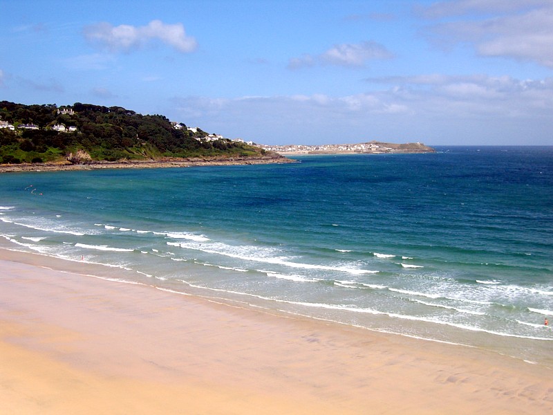
Carbis Bay bei Lelant
-
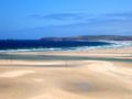
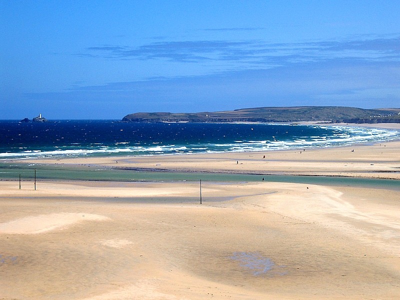
Porth Kidney Sands und Hayle Towans Beach
-
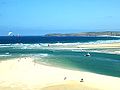
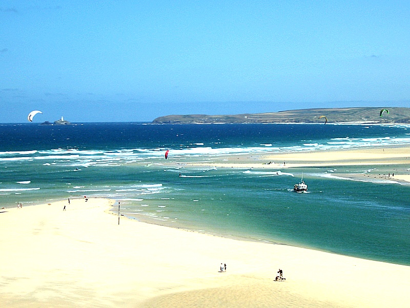
Mündung des Hayle
-

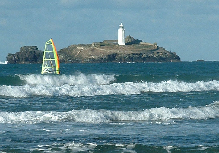
Leuchtturm von Godrevy Point
Weblinks
 Commons: Lelant – Sammlung von Bildern, Videos und AudiodateienKategorie:
- Ort in Cornwall
-


Wikimedia Foundation.