Mullaitivu

Mullaitivu
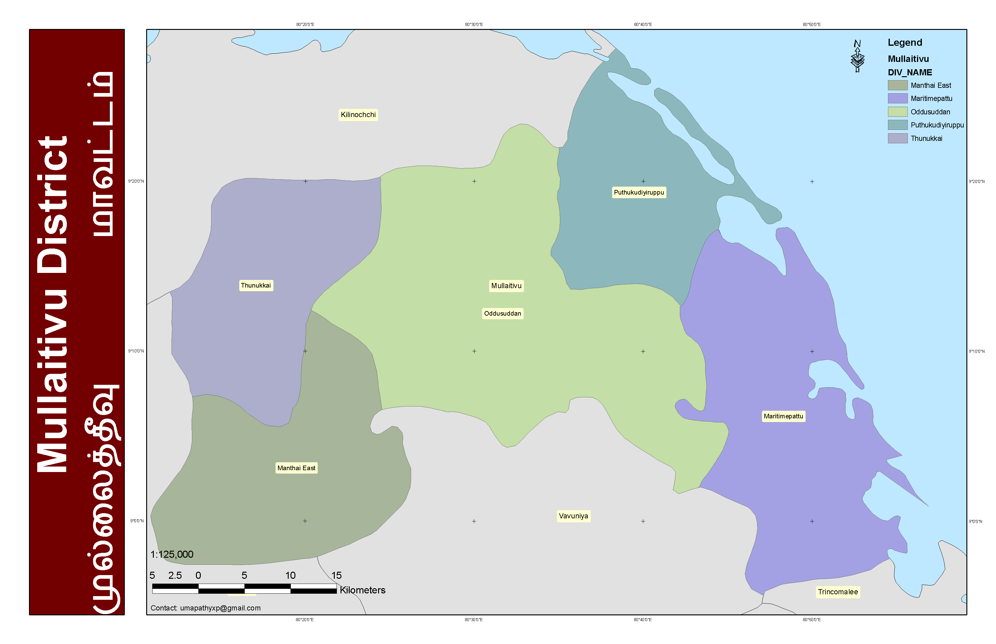
Karte
Lage des Distrikts Mullaitivu auf Sri Lanka
Basisdaten
Staat: Sri Lanka
Provinz: Nordprovinz
Distrikt: Mullaitivu
Geografische Lage: 9° 17′ N, 80° 48′ O9.283333333333380.8Koordinaten: 9° 17′ 0″ N, 80° 48′ 0″ O
Höhe:
Fläche: 1,580 km²
Zeitzone: GMT + 5:30
Einwohner:
Sprachen: Tamil Sinhala
Bevölkerungsdichte:
Geschlechterverteilung:
Postleitzahlen:
Adresse der
Stadtverwaltung:

Mullaitivu / Muladuwa (tam. முல்லைத்தீவு mullaittivu, sin. මූලදූව muladuva) ist eine kleine Stadt, welche während des Anuradhapura-Polonnaruwa-Zeitalters als Seehafen diente.[1] Sie ist Hauptstadt des gleichnamigen Distrikts der Nordprovinz an der Küste von Sri Lanka.

Die Liberation Tigers of Tamil Eelam (LTTE) hatten dort bis zur Eroberung durch Regierungstruppen am 25. Januar 2009 eine Basis.[2]

Die Bevölkerung lebt von Landwirtschaft und Fischerei, Tourismus oder Handel gab es nie wirklich.

Die gesamte Infrastruktur wurde durch den 20 Jahre andauernden Bürgerkrieg stark in Mitleidenschaft gezogen. Den Rest, selbst das Krankenhaus aus britischer Kolonialzeit, zerstörte der Tsunami 2004. Im Jahre 2003 einigten sich die Kriegsparteien auf einen Waffenstillstand, die LTTE kontrollierte den Ort weiterhin. Die Bevölkerung sowie die zurückkehrenden Flüchtlinge begannen mit dem Wiederaufbau bis Mullaitivu beim Seebeben im Indischen Ozean 2004 verwüstet wurde und 3000 der 7000 Einwohner dabei ihr Leben verloren.

Distrikt Mullaitivu

Quellen

  1. K. M. de Silva, History of Sri Lanka, (Penguin) 1995
  2. Last Tamil Tiger bastion 'taken'

Weblinks

 Commons: Mullaitivu – Sammlung von Bildern, Videos und Audiodateien

Wikimedia Foundation.

Игры ⚽ Поможем сделать НИР

Schlagen Sie auch in anderen Wörterbüchern nach:

  • Mullaitivu — Coordinates: 9°17′N 80°48′E / 9.283°N 80.8°E / 9.283; 80.8 …   Wikipedia

  • Mullaitivu — முல்லைத்தீவு (tamil) මුලතිව් (cingalés) Mullaitivu …   Wikipedia Español

  • Mullaitivu — 9° 17′ 00″ N 80° 48′ 00″ E / 9.28333, 80.8 Mullaitivu est une p …   Wikipédia en Français

  • Mullaitivu Hospital — Ministry of Health, Northern Province Geography Location Mullaitivu, Mullaitivu District, Northern Province, Sri Lanka Organisation Care …   Wikipedia

  • Mullaitivu Electoral District — was an electoral district of Sri Lanka between July 1977 and February 1989. The district was named after the town of Mullaitivu in Mullaitivu District, Northern Province. The 1978 Constitution of Sri Lanka introduced the proportional… …   Wikipedia

  • Mullaitivu District — This article is about the district in Sri Lanka. For the town, see Mullaitivu. Mullaitivu District முல்லைத்தீவு மாவட்டம் මුලතිවු දිස්ත්‍රික්කය   Administrative District   …   Wikipedia

  • Mullaitivu (Distrikt) — Mullaitivu ist ein Distrikt in der Nordprovinz in Sri Lanka. Er hat eine Fläche von 2617 km².[1] Hauptort ist Mullaitivu. Inhaltsverzeichnis 1 Bevölkerung …   Deutsch Wikipedia

  • Mullaitivu District — Admin ASC 2 Code Orig. name Mullaitivu District Country and Admin Code LK.38.1234392 LK …   World countries Adminstrative division ASC I-II

  • Battle of Mullaitivu (1996) — Battle of Mullaitivu Operation Unceasing Waves Part of the Sri Lankan civil war Date July 18 – 25, 1996 Location …   Wikipedia

  • Battle of Mullaitivu — Infobox Military Conflict conflict=Battle of Mullaitivu partof=the Sri Lankan civil war caption= date=July 18, 1996 July 25, 1996 place=Mullaitivu, Sri Lanka casus= territory= result=Tamil Tiger victory combatant1= combatant2= Liberation Tigers… …   Wikipedia

Share the article and excerpts

Direct link
Do a right-click on the link above
and select “Copy Link”