- Camden County (New Jersey)
-
Verwaltung US-Bundesstaat: New Jersey Verwaltungssitz: Camden City Adresse des
Verwaltungssitzes:County Courthouse
520 Market Street, 16th Floor
Camden, NJ 08102-1300Gründung: 1844 Gebildet aus: Gloucester County Vorwahl: +1 856 Demographie Einwohner: 508.932 (2000) Bevölkerungsdichte: 885,1 Einwohner/km² Geographie Fläche gesamt: 589 km² Wasserfläche: 14 km² Karte 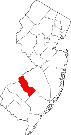
Das Camden County[1] ist ein County im US-amerikanischen Bundesstaat New Jersey. Bei der Volkszählung im Jahr 2010 hatte das County 513.657 Einwohner und eine Bevölkerungsdichte von 885,1 Einwohnern pro Quadratkilometer. Der Verwaltungssitz (County Seat) ist Camden City.[2]
Das Camden County ist Bestandteil der Delaware Valley genannten Metropolregion um die Stadt Philadelphia.
Inhaltsverzeichnis
Geografie
Das County liegt im Süden von New Jersey und ist von der Stadt Philadelphia im westlich angrenzenden Bundesstaat Pennsylvania durch den Delaware River getrennt. Es hat eine Fläche von 589 Quadratkilometern, wovon 14 Quadratkilometer Wasserfläche sind. An das Camden County grenzen folgende Countys:
Philadelphia
(Pennsylvania)Burlington County 
Gloucester County Atlantic County Geschichte
 Earl Camden
Das Camden County wurde am 13. März 1844 aus ehemaligen Teilen des Gloucester County gebildet.[3] Benannt wurde es nach Charles Pratt, 1. Earl Camden (1714-1794), von 1766 bis 1770 Lordkanzler von England.
Demografische Daten
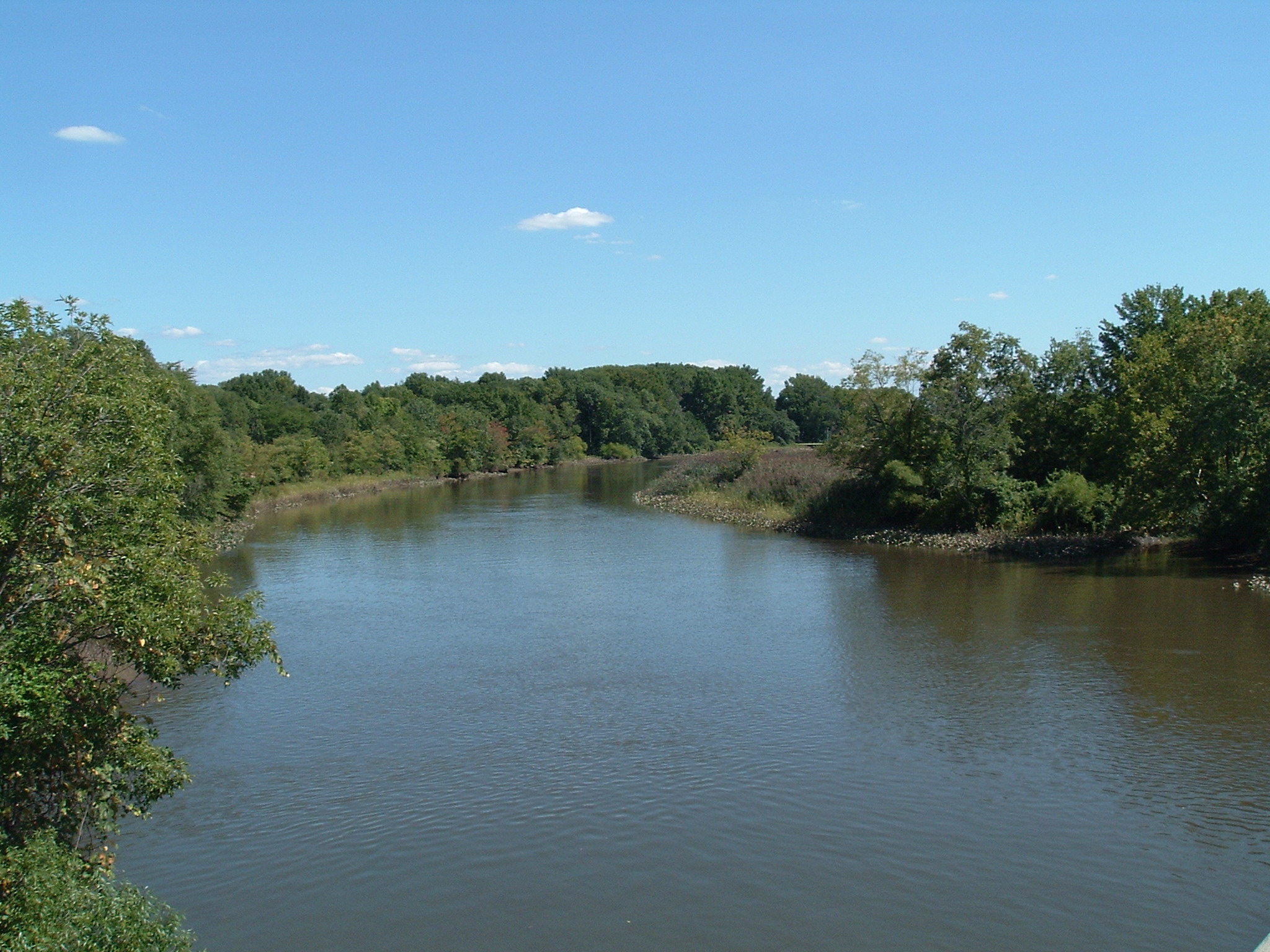
Historische Einwohnerzahlen Census Einwohner ± in % 1850 25.422 — 1860 34.457 40 % 1870 46.193 30 % 1880 62.942 40 % 1890 87.687 40 % 1900 107.643 20 % 1910 142.029 30 % 1920 190.508 30 % 1930 252.312 30 % 1940 255.727 1 % 1950 300.743 20 % 1960 392.035 30 % 1970 456.291 20 % 1980 471.650 3 % 1990 502.824 7 % 2000 508.932 1 % 2010 513.657 0,9 % Vor 1900[4] 1900–1990[5] 2000[6] 2010[7]  Der Big Timber Creek
Nach der Volkszählung im Jahr 2010 lebten im Camden County 513.657 Menschen in 192.095 Haushalten. Die Bevölkerungsdichte betrug 885,1 Einwohner pro Quadratkilometer.
Ethnisch betrachtet setzte sich die Bevölkerung zusammen aus 65,3 Prozent Weißen, 19,6 Prozent Afroamerikanern, 0,3 Prozent amerikanischen Ureinwohnern, 5,1 Prozent Asiaten sowie aus anderen ethnischen Gruppen; 2,6 Prozent stammten von zwei oder mehr Ethnien ab. Unabhängig von der ethnischen Zugehörigkeit waren 14,2 Prozent der Bevölkerung spanischer oder lateinamerikanischer Abstammung.
In den 192.095 Haushalten lebten statistisch je 2,64 Personen.
24,4 Prozent der Bevölkerung waren unter 18 Jahre alt, 62,8 Prozent waren zwischen 18 und 64 und 12,8 Prozent waren 65 Jahre oder älter. 51,8 Prozent der Bevölkerung war weiblich.
Das jährliche Durchschnittseinkommen eines Haushalts lag bei 60.445 USD. Das Pro - Kopf - Einkommen betrug 29.112 USD. 11,3 Prozent der Einwohner lebten unterhalb der Armutsgrenze.[8]
Städte und Gemeinden
- Camden
- Gloucester City
- Audubon
- Audubon Park
- Barrington
- Bellmawr
- Berlin
- Brooklawn
- Chesilhurst
- Clementon
- Collingswood
- Gibbsboro
- Haddon Heights
- Haddonfield
- Laurel Springs
- Lawnside
- Lindenwold
- Magnolia
- Merchantville
- Mount Ephraim
- Oaklyn
- Pine Hill
- Pine Valley
- Runnemede
- Somerdale
- Stratford
- Tavistock
- Woodlynne|
Census-designated places (CDP)
- Ashland
- Blackwood
- Cherry Hill Mall
- Echelon
- Glendora
- Golden Triangle
- Greentree
- Springdale
- Ancora
- Atco
- Blenheim
- Blue Anchor
- Cedar Brook
- Chews Landing
- Erial
- Glendale
- Kirkwood
- Kresson
- New Freedom
- Osage
- Sicklerville
- Tansboro
- West Berlin
- Woodcrest
Townships
- Berlin Township
- Cherry Hill Township
- Gloucester Township
- Haddon Township
- Pennsauken Township
- Voorhees Township
- Waterford Township
- Winslow Township
Einzelnachweise
- ↑ GNIS-ID: 882273. Abgerufen am 22. Februar 2011 (englisch).
- ↑ National Association of Counties Abgerufen am 6. November 2011
- ↑ The Story of New Jersey's Civil Boundaries: 1606–1968, John P. Snyder, Bureau of Geology and Topography; Trenton, New Jersey; 1969. S. 103
- ↑ U.S. Census Bureau _ Census of Population and Housing Abgerufen am 28. Februar 2011
- ↑ Auszug aus Census.gov Abgerufen am 28. Februar 2011
- ↑ Auszug aus factfinder.census.gov Abgerufen am 28. Februar 2011
- ↑ United States Census 2010 Abgerufen am 6. November 2011
- ↑ U.S. Census Buero, State & County QuickFacts - Camden County Abgerufen am 6. November 2011
Weblinks
-
 Commons: Camden County, New Jersey – Sammlung von Bildern, Videos und Audiodateien
 - U.S. Census Buero, State & County QuickFacts - Camden County
- Yahoo Bildersuche - Camden County
- www.city-data.com - Camden County
- Website der Camden County Historical Society
Schlagen Sie auch in anderen Wörterbüchern nach:
Camden County, New Jersey — Infobox U.S. County county = Camden County state = New Jersey map size = 100 founded = March 13, 1844 seat = Camden | largest city = Camden area total km2 = 589 | area total sq mi = 228 area land km2 = 576 area land sq mi = 222 area water km2 =… … Wikipedia
County Route 705 (Camden County, New Jersey) — County Route 705 Sicklerville Road Route information Length: 7.67 mi … Wikipedia
County Route 747 (Camden County, New Jersey) — Infobox road state=NJ Camden alternate name=Lakeland Road type= route=747 length mi=.70 length ref= [http://www.state.nj.us/transportation/refdata/sldiag/04000747 .pdf County Route 747] straight line diagram from New Jersey Department of… … Wikipedia
County Route 606 (Camden County, New Jersey) — Infobox road state=NJ Camden alternate name=White Horse Pike type= route=606 length mi=.29 length ref= [http://www.state.nj.us/transportation/refdata/sldiag/04000606 .pdf County Route 606] straight line diagram from New Jersey Department of… … Wikipedia
County Route 708 (Camden County, New Jersey) — Infobox road state=NJ Camden alternate name=Zulker Avenue type= route=708 length mi=.12 length ref= [http://www.state.nj.us/transportation/refdata/sldiag/040007081 .pdf County Route 708.1] straight line diagram from New Jersey Department of… … Wikipedia
List of county routes in Camden County, New Jersey — The following is a list of county routes in Camden County in the U.S. state of New Jersey. For more information on the county route system in New Jersey as a whole, including its history, see County routes in New Jersey. 500 series county routes… … Wikipedia
National Register of Historic Places listings in Camden County, New Jersey — List of the National Register of Historic Places listings in Camden County, New Jersey Contents: Counties in New Jersey Atlantic Bergen Burlington Camden Cape May Cumberland Essex Gloucester Hudson Hunterdon Mercer Middlesex Monmouth… … Wikipedia
Newton Township, Camden County, New Jersey — Newton Township was a township in New Jersey, United States, that existed initially within Gloucester County from its creation in 1695, and became part of Camden County, where it existed until its dissolution in 1871. Newton Township was… … Wikipedia
List of historical Camden County, New Jersey municipalities — This list of historical municipalities in Camden County, New Jersey includes cities, townships, and boroughs. It also includes the years they were formed as local administrative units, and years in which existing municipalities ceded land for the … Wikipedia
Union Township, Camden County, New Jersey — Union Township is a now dissolved township which existed from 1831 to 1868 and was located in present day Camden County, New Jersey.Union Township was formed by an Act of the New Jersey Legislature on November 15, 1831, while the area was still… … Wikipedia
Camden County (New Jersey)


18+
© Academic, 2000-2026
- Kontaktieren Sie uns: Unterstützung, Werbung
Wörterbücher Export, schritte mit PHP, Joomla, Drupal, WordPress, MODx.