- Lepelle
-
Lepelle
Olifants River, Olifantsrivier, Rio dos Elefantes
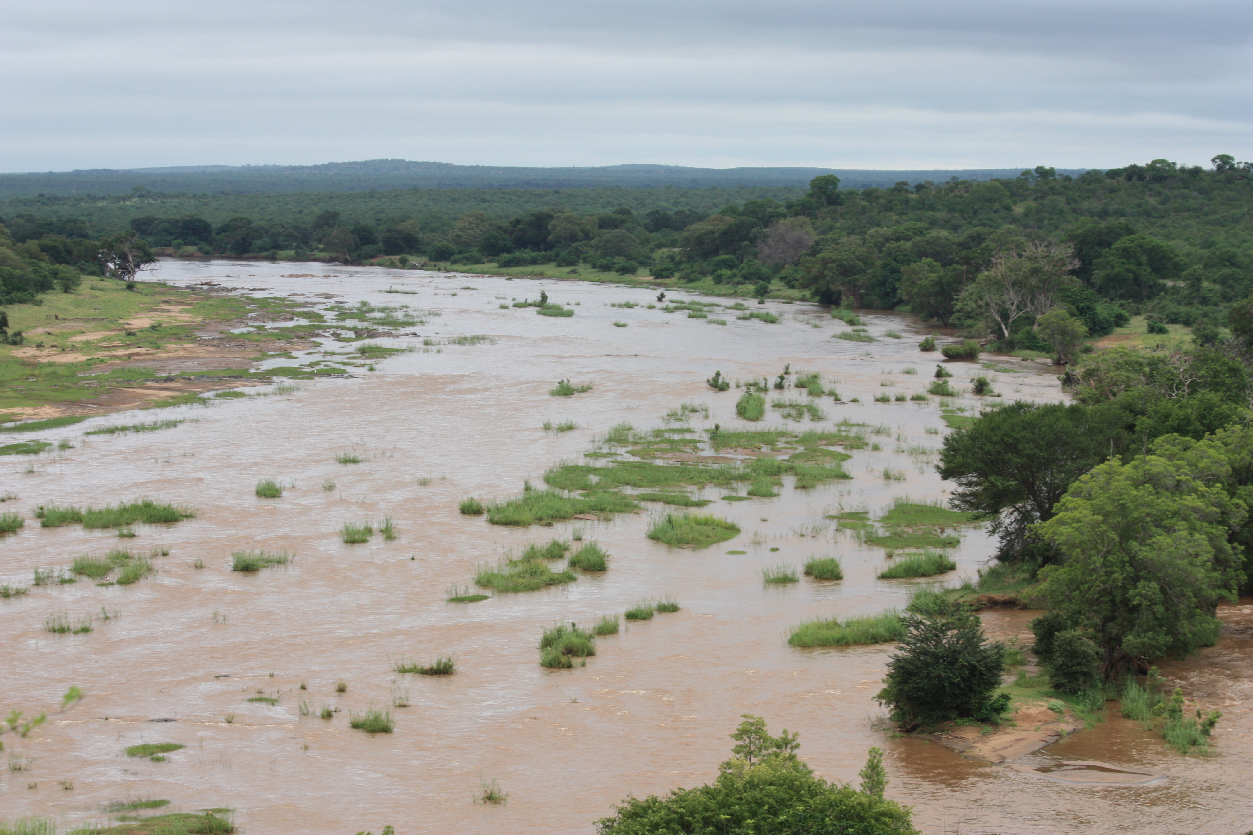
Der Olifants River beim Durchfließen des Kruger-Nationalparks
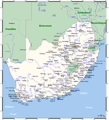
Daten Lage Südafrika (Provinz Mpumalanga) und Mosambik Flusssystem Limpopo Abfluss über Limpopo → Indischer Ozean Quelle nördlich Ermelo (Südafrika)
26° 20′ 33″ S, 29° 49′ 47″ O-26.34247629.829755Mündung in den Limpopo -24.11125432.63895Koordinaten: 24° 6′ 41″ S, 32° 38′ 20″ O
24° 6′ 41″ S, 32° 38′ 20″ O-24.11125432.63895Einzugsgebiet 70.000 km²[1] Abflussmenge[1] (1.644 Mio. m³/Jahr) MQ: 52,13 m³/s Rechte Nebenflüsse Klein Olifants River Linke Nebenflüsse Elands River, Mphongolo Durchflossene Stauseen Witbank Dam, Loskop Dam, Flag Boshielo Dam, Massingir-Talsperre Der Lepelle (bis 2005 Olifants River oder Olifantsrivier)[2] ist ein Fluss, der in der südafrikanischen Provinz Mpumalanga entspringt.
Er fließt nördlich durch den Witbank Dam und den Loskop Dam. In Transvaal zwingen ihn die Drakensberge Richtung Osten; er durchschneidet den Abel-Erasmus-Pass, fließt ostwärts und vereinigt sich mit dem Letaba River. Beim Überschreiten der Grenze nach Mosambik ändert er seinen Namen in Rio dos Elefantes und mündet in den Limpopo, welcher noch den Rio Changane aufnimmt, bevor er bei Xai-Xai nördlich von Maputo in den Indischen Ozean mündet.
Quellen
Einzelnachweise
- ↑ a b Drought impact mitigation and prevention in the Limpopo River Basin. A situation analysis. In: Land and Water Discussion Paper. FAO Natural Resources Management and Environment Department, 2004, S. „Water Resources“, abgerufen am 26. April 2010 (englisch).
- ↑ Old PlaceNames (englisch). Department of Arts and Culture. Abgerufen am 10. April 2010.
 Flüsse in Südafrika

Wikimedia Foundation.