- South London
-
South London ist der südliche Bereich von London, England. Anhand von zwei Kriterien wird festgestellt, ob ein Bezirk zu South London gehört. Entweder liegt er südlich der Themse oder die Postleitzahl gehört zum Zahlenbereich von South London (SE oder SW). Bezirke, die beide Kriterien erfüllen, gehören generell zu South London. Bei den Bezirken, die nur ein Kriterium erfüllen, wird von Fall zu Fall entschieden.
Inhaltsverzeichnis
Definition der Grenzkommission
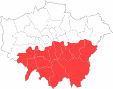 South London laut Definition der Grenzkommission
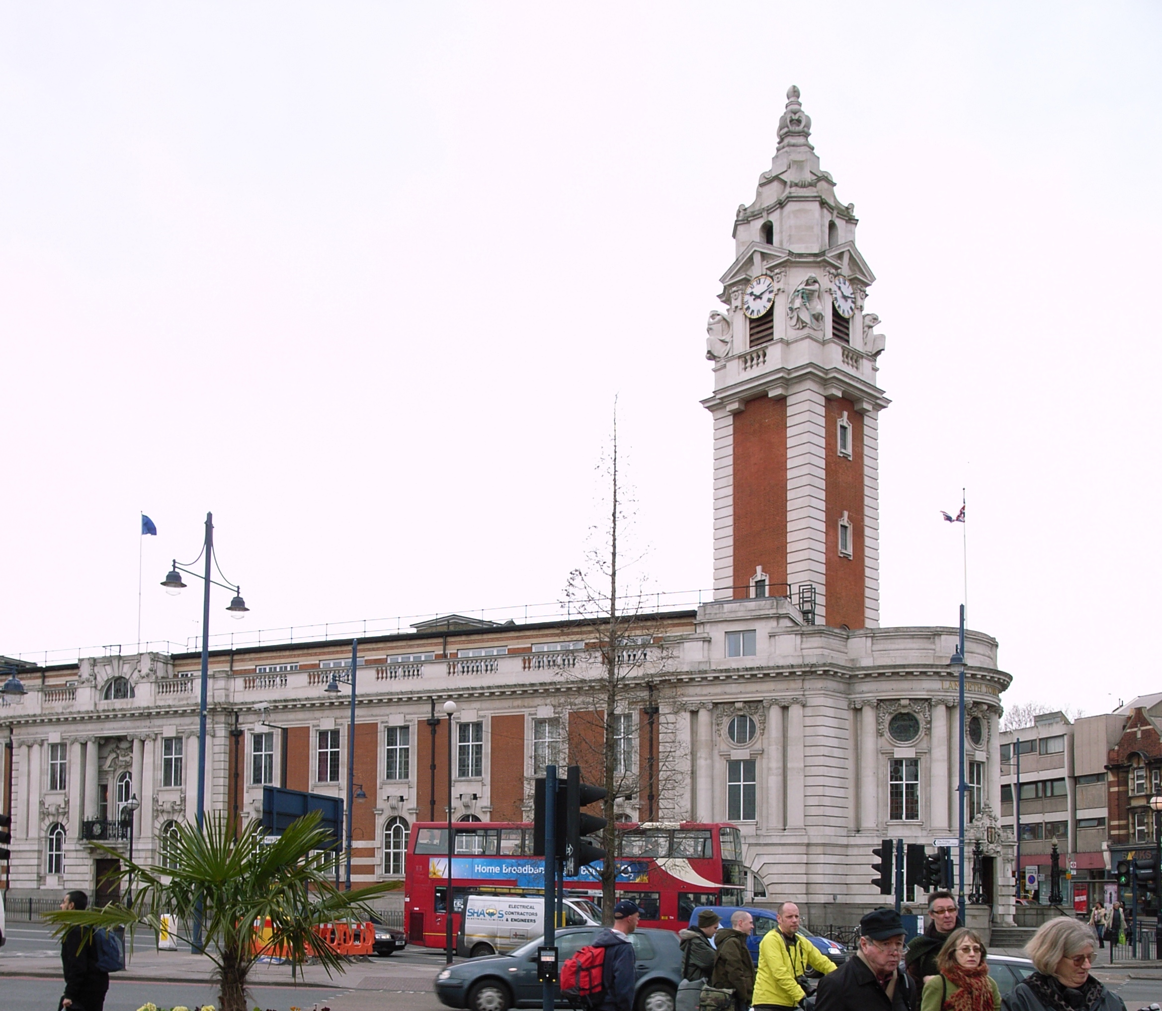
Die Grenzkommission legt fest, das zu South London London Boroughs von Bexley, Bromley, Croydon, Greenwich, Kingston, Lambeth, Lewisham, Merton, Richmond, Southwark, Sutton und Wandsworth gehören.[1]
Die Boundary Commission wurde 1986 zur Festlegung der Grenzen der Wahlkreise für die Wahlen zum Britisches Parlament gegründet. Die Kommission legte fest, dass South London aus allen Stadtteil südlich der Themse besteht.
Die Kommission fasste Bezirke mit ähnlichen Interessen zusammen, und zwar Bexley mit Greenwich, Lewisham mit Bromley, Lambeth mit Southwark und Kingston mit Richmond. Aus diesem Grund wurde auch Richmand zu South London eingeteilt, obwohl es auf beiden Seiten der Themse liegt.Es ist aus diesem Grund, dass die Boundary Kommission definiert Richmond ausschließlich als South
Definition des London Plan
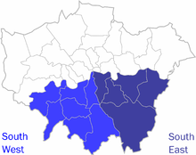 South London laut Definition des London Plan
Der London Plan unterscheidet South East London mit den Boroughs Bexley, Greenwich, Lewisham, Bromley und Southwark, sowie South West London mit den Boroughs Croydon, Kingston, Lambeth, Merton, Richmond, Sutton und Wandsworth.[2] South East und South West London entsprechen zusammen exakt dem von der Grenzkommission festgelegten South London.
Die Teilregionen wurden gegründet um das Wachstum und die Entwicklung von London zu fördern, beaufsichtigt durch den Bürgermeister von London. Der Plan beschreibt die Teilregionen als ein flexibeles Konzept, das einen strategischen Plan zur Umsetzung des London Plan entwickeln und durchsetzen sollte.[3] South London wurde in zwei Teilregionen aufgeteilt:South East und South West, jeweils mit eigenem Entwicklungsplan ausgestattet.
In South West leben 1,7 Mio. Menschen. Es bietet 730.000 Arbeitsplätze und ist eine der gesündesten Unterregionen Londons. Im Gegensatz dazu hat South East mit 1,3 Mio. Einwohnern niedrigste Einwohnerzahl. Mit 500.000 Stellen gibt es dort auch die wenigsten Arbeitsplätze. Aus diesem Grund wurde nur South East in ein nationales Wirtschaftsförderungsprogramm, den Thames Gateway ebenso aufgenommen, wie in die Förderung für Central-London. [4]
Umgangssprachliche Verwendung
Abweichend von den offiziellen Definitionen umfasst South London die Breiche, die südlich von Central London und der Themse. Dieses Gebiet erstreckt sich über Teile von Central, South East und South West London. Einige dieser Bereiche gehören zu den Postleitzahlenbereichen SE und SW. Die nachfolgend Liste zeigt die Bouroughs, die ganz oder teilweise in diesem Bereich liegen. Die Liste zeigt den Postcode, die Richtung vom symbolischen Mitte Londons, Charing Cross, die Teilregion sowie den Wahlkreis zur Wahl des London Assembly:
London Borough Postleitzahlenbereich Charing Cross Teilregion London Assembly[5] 
Bexley DA, SE Ostsüdosten South East Bexley and Bromley 
Bromley BR, SE Südost South East Bexley and Bromley 
Croydon CR, SE, SW Süden South West Croydon and Sutton 
Greenwich SE, DA, BR east south-east South East Greenwich and Lewisham 
Kingston KT, SW Südwesten South West South West 
Lambeth SE, SW Süden South West Lambeth and Southwark 
Lewisham SE, BR Südosten South East Greenwich and Lewisham 
Merton CR, KT,SM, SW Südwesten South West Merton and Wandsworth 
Richmond SW, TW Südwesten South West South West 
Southwark SE south South East Lambeth and Southwark 
Sutton SM Südwesten South West Croydon and Sutton 
Wandsworth SW Südwesten South West Merton and Wandsworth Galerie
-
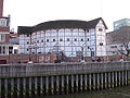
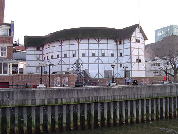
Globe Theatre, Southwark
-
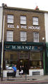
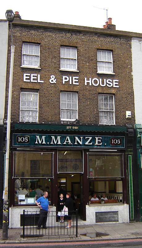
Eel & Pie House, Peckham
-
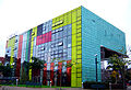
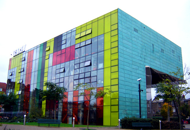
Bücherei Peckham
-

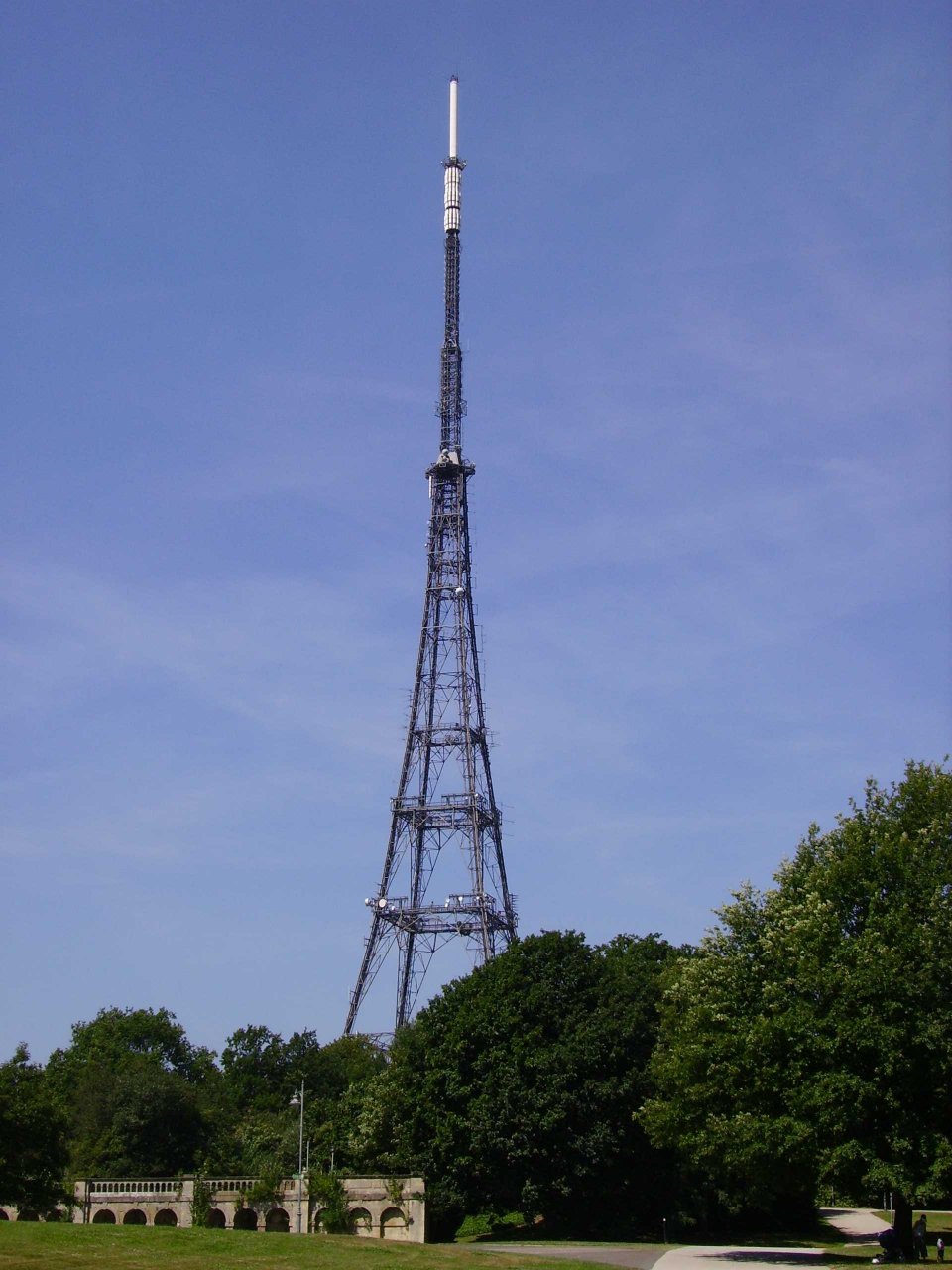
Sender Crystal Palace, Sydenham Hill
-

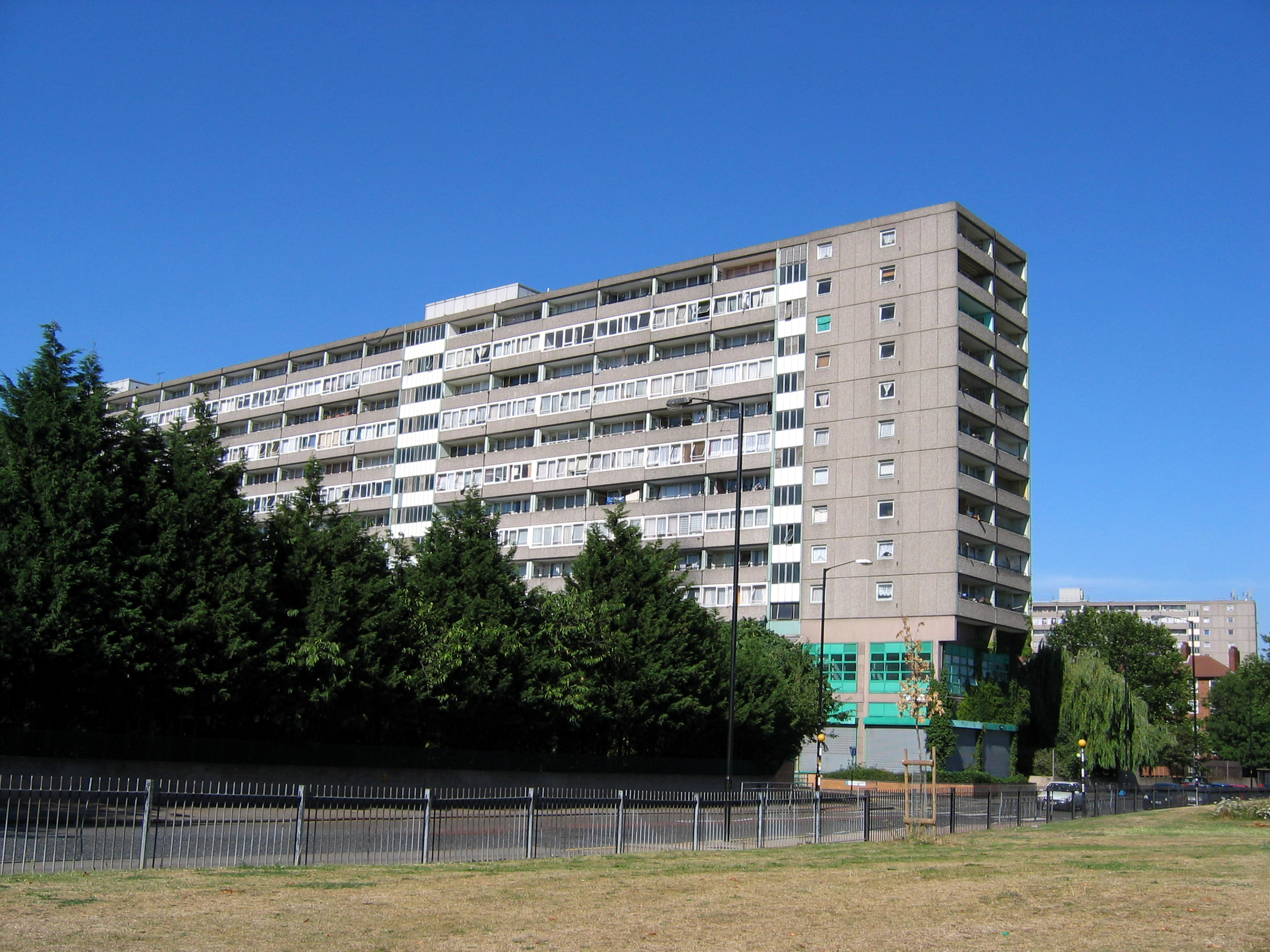
Aylesbury Estate, Walworth
-
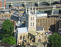
Southwark Cathedral
-
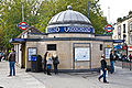
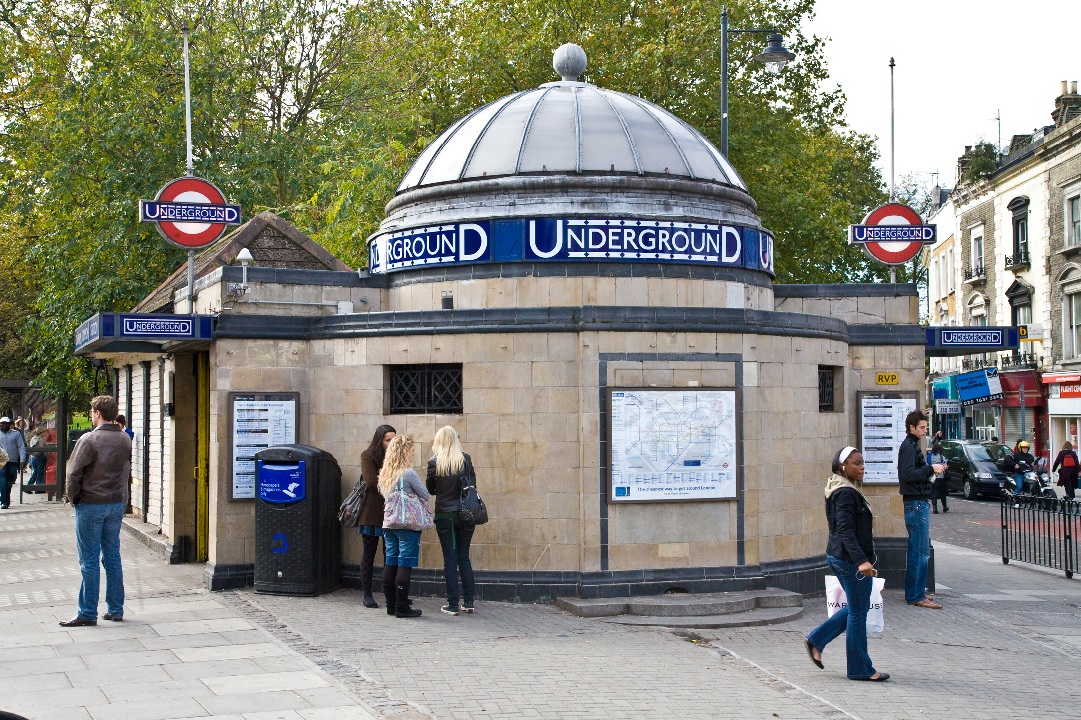
Clapham Common U-Bahn-Station
-
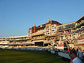
The Oval, Kennington
-
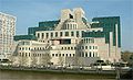
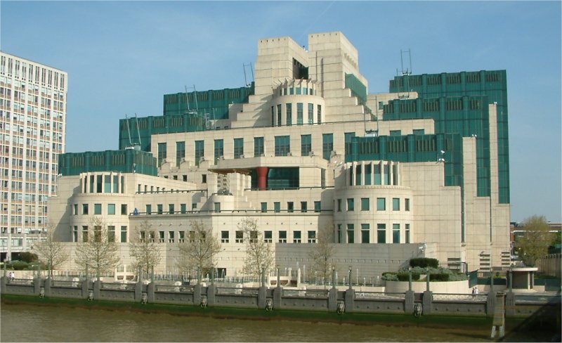
MI6-Hauptquartier, Vauxhall
-
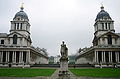
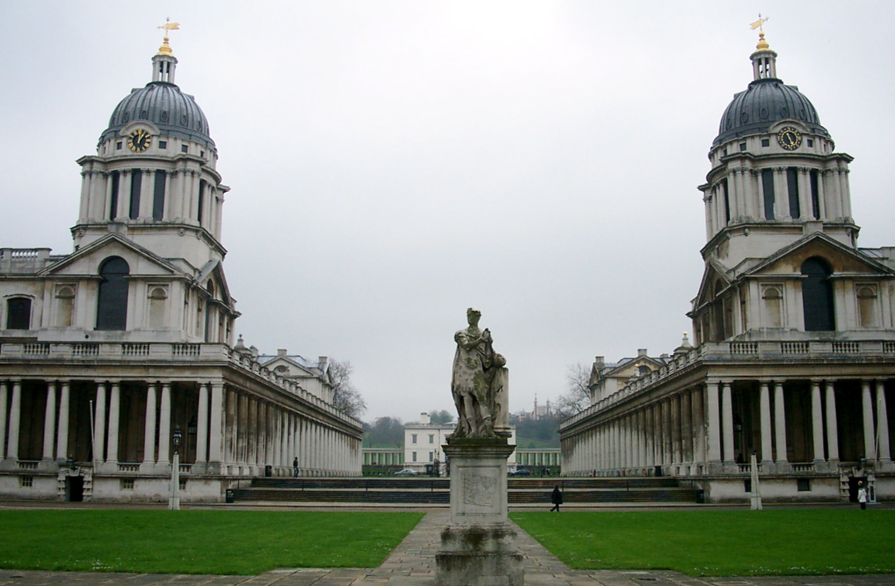
Greenwich Naval College
-
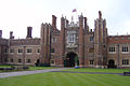
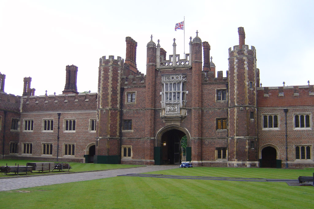
Hampton Court Palace
Einzelnachweise
- ↑ Boundary Commission for England - South London Boroughs
- ↑ Greater London Authority - Draft Further Alterations to the London Plan
- ↑ http://www.london.gov.uk/thelondonplan/caz/
- ↑ http://www.london.gov.uk/thelondonplan/caz/south_east_london.jsp
- ↑ London Assembly - London Assembly Constituency Information. Retrieved on 22 February 2008.
51.433334-0.08332200000001Koordinaten: 51° 26′ N, 0° 5′ WKategorie:- Geographie (London)
-


Wikimedia Foundation.