- Talbragar River
-
Talbragar River 
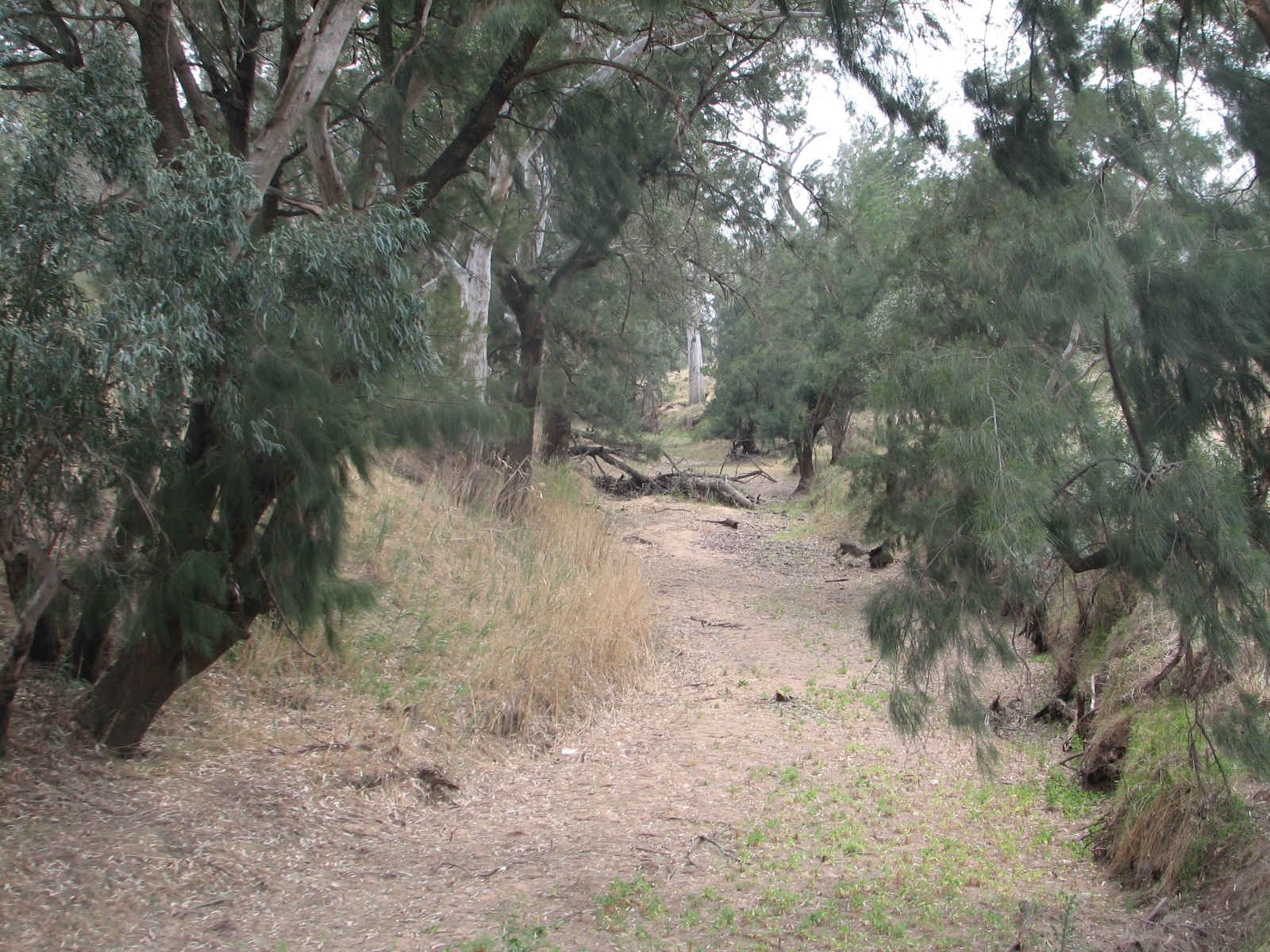
Talbragar River, ausgetrocknet, in der Nähe von Cobbora
Daten Lage New South Wales (Australien) Flusssystem Murray River Abfluss über Macquarie River (New South Wales) → Barwon River (New South Wales) → Darling River → Murray River → Indischer Ozean Quelle The Pigeon Box Rock (westlich der Liverpool Range)
31° 44′ 59″ S, 150° 5′ 54″ O-31.749722222222150.098333333331130Quellhöhe 1.130 m[1] Mündung Macquarie River bei Dubbo -32.188611111111148.60916666667258Koordinaten: 32° 11′ 19″ S, 148° 36′ 33″ O
32° 11′ 19″ S, 148° 36′ 33″ O-32.188611111111148.60916666667258Mündungshöhe 258 m[1] Höhenunterschied 872 m Länge 277 km[1] Rechte Nebenflüsse Bounty Creek, Norfolk Island Creek, Turee Creek, Cainbil Creek, Coolaburragundy River, Boomley Creek, Spring Creek, Goan Creek, Jones Creek Linke Nebenflüsse Tucklan Creek, Sandy Creek, Mullion Creek, Barragonumbel Creek, Mitchells Creek, Plain Creek Mittelstädte Dunedoo, Dubbo Kleinstädte Uarbry, Cobbora, Elong Elong, Murembung, Ballimore, Beni Der Talbragar River ist ein Fluss in der Mitte des australischen Bundesstaates New South Wales.
Erstmals wurde er in den 1820er-Jahren von europäischen Entdeckern als Putterbatta River erwähnt. Er entspringt an den Westhängen der Liverpool Range bei Cassilis, fließt nach Westen und mündet bei Dubbo in den Macquarie River.
Da der Flusslauf in einem Gebiet mit seltenen Regenfällen beginnt, ist er die meiste Zeit des Jahres ausgetrocknet (siehe auch Creek). Bei Regenfällen schwillt er aber rasch stark an und überschwemmt dabei häufig die Ortschaft Dubbo.
Seine wichtigsten Nebenflüsse sind der Coolaburragundy River und der Mitchells Creek. Die erste Brücke über den Fluss wurde in den 1850er-Jahren bei Dunedoo am Mittellauf von Thomas New, einem Siedler, erbaut.
Einzelnachweise
Kategorien:- Flusssystem Darling River
- Fluss in New South Wales
- Fluss in Australien und Ozeanien
Wikimedia Foundation.