- Čataj
-
Čataj
Wappen Karte 
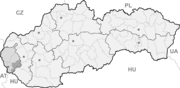

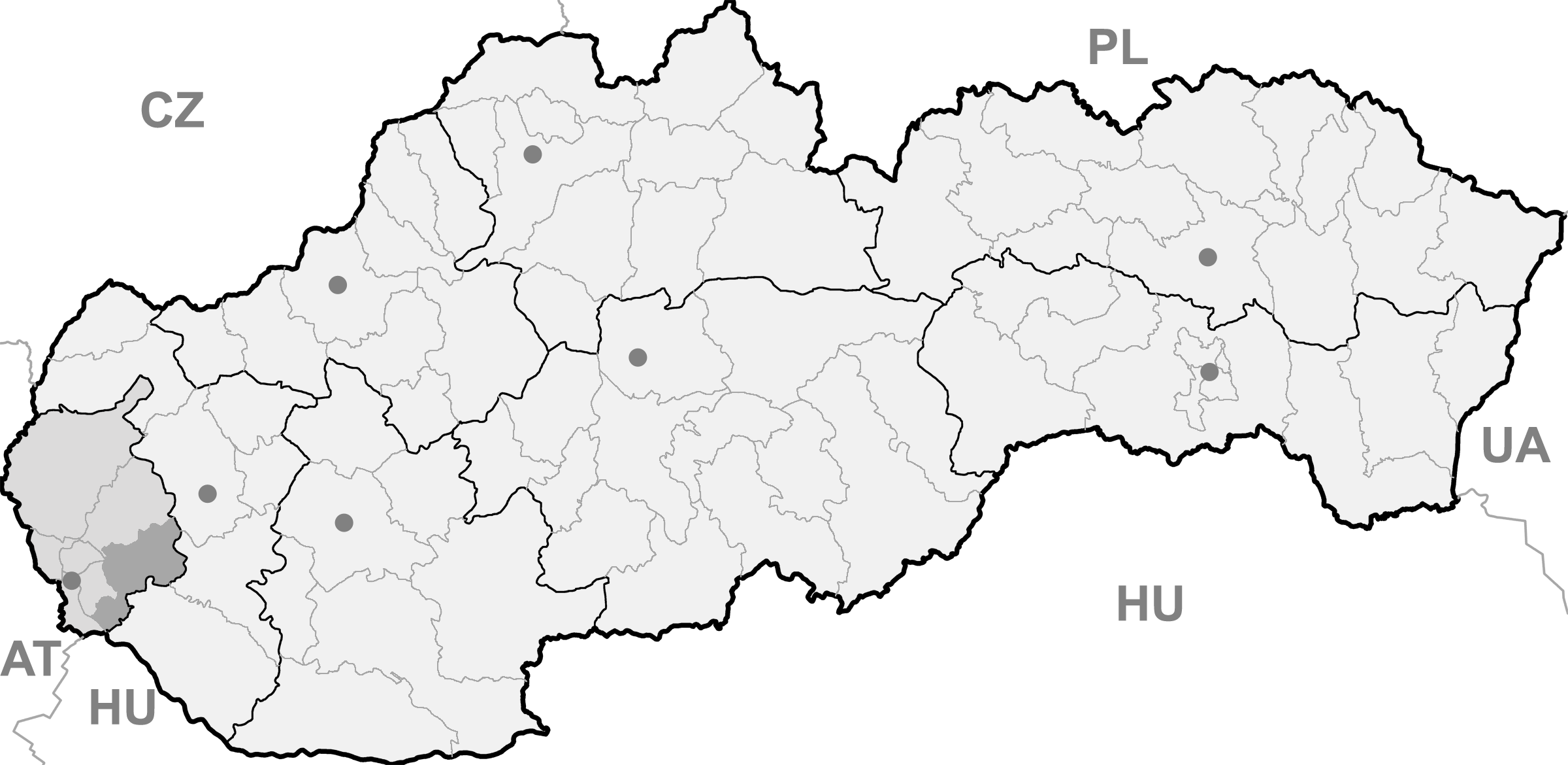
Čataj BasisdatenKraj: Bratislavský kraj Okres: Senec Region: Bratislava Fläche: 12,867 km² Einwohner: 1.100 (31. Dez. 2010) Bevölkerungsdichte: 85,49 Einwohner je km² Höhe: 140 m n.m. Postleitzahl: 900 83 Telefonvorwahl: 0 2 Geographische Lage: 48° 16′ N, 17° 29′ O48.27083333333317.476388888889140Koordinaten: 48° 16′ 15″ N, 17° 28′ 35″ O Kfz-Kennzeichen: SC Gemeindekennziffer: 507865 StrukturGemeindeart: Gemeinde Verwaltung (Stand: März 2011)Bürgermeister: Jozef Čič Adresse: Obecný úrad Čataj
Hlavná 333
90083 ČatajWebpräsenz: www.cataj.sk Gemeindeinformation
auf portal.gov.skStatistikinformation
auf statistics.skČataj (deutsch Schattein, ungarisch Csataj) ist eine Gemeinde im Okres Senec innerhalb des Bratislavský kraj in der Slowakei.
Geographie
Der Ort liegt im Donautiefland am Bach Vištucký potok, 10 km nordöstlich der Stadt Senec und 19 km südwestlich von Trnava gelegen.
Geschichte
Im heutigen Katastralgebiet wurden mehrere Funde aus der Stein- und Bronzezeit gefunden, sowie aus der Zeit des Großmährens. Der Ort wurde zum ersten Mal 1244 als villa Chatey schriftlich erwähnt und gehörte den örtlichen Edelmanns-Familien. Im 14. Jahrhundert kam es zu einem Zuzug deutscher Kolonisten und seit dieser Zeit bis zum 18. Jahrhundert gehörte sie zu den Grafen von St. Georgen, dann zum Herrschaftsgut von Königseiden.
Bis 1918 lag der Ort im Komitat Pressburg im Königreich Ungarn, danach kam er zur neu entstandenen Tschechoslowakei.
Bernolákovo (Lanschütz) | Blatné (Scharfing) | Boldog | Čataj (Schattein) | Dunajská Lužná | Hamuliakovo (Gutern) | Hrubá Borša | Hrubý Šúr | Hurbanova Ves | Chorvátsky Grob (Kroatisch-Eisgrub) | Igram (Eggramsdorf) | Ivanka pri Dunaji (Iwanka an der Donau) | Kalinkovo (Semethdorf) | Kaplna (Kapellen) | Kostolná pri Dunaji (Gaswar) | Kráľová pri Senci (Königseiden) | Malinovo (Eberhardt) | Miloslavov | Most pri Bratislave (Bruck an der Donau) | Nová Dedinka | Nový Svet (Neue Welt) | Reca | Rovinka (Waltersdorf) | Senec (Wartberg) | Tomášov (Feilendorf) | Tureň | Veľký Biel (Ungarisch-Biel) | Vlky (Nickelsdorf) | Zálesie

Wikimedia Foundation.