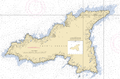
- Agattu Island
-
Agattu Island Ein Stellerscher Seelöwe auf Agattu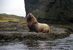
Gewässer Pazifischer Ozean Inselgruppe Near Islands Geographische Lage 52° 28′ N, 173° 35′ O52.461866666667173.58467222222632Koordinaten: 52° 28′ N, 173° 35′ O 

Länge 29 km Breite 14 km Fläche 221,539 km² Höchste Erhebung 632 m Einwohner (unbewohnt) Hauptort Ugashik (historisch) Schutzhütte auf Agattu (1988)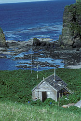
Agattu ist eine 29 km lange und 14 km breite Insel in den Near Islands im äußersten Westen der Aleuten. Mit einer Landfläche von 221,593 km² ist Agattu eine der größten unbewohnten Inseln in den Aleuten und, nach Attu, die zweitgrößte Insel der Near Islands.
Die gebirgige, baumlose Insel vulkanischen Ursprungs, deren höchster Punkt auf 632 m über Meer liegt, beherbergt 7 große Seevögelkolonien, deren Population auf 66.000 Vögel geschätzt wird. Ungefähr 1 % der globalen Population von Rotgesichtscharben und Gelbschopflunde nisten auf der Insel. Andere Bewohner sind Bering-Strandläufer, Odinshühnchen, Graukopf-Schneegimpel und Schneeammer. [1] Die Aleuten-Zwergkanadagänse wurden, nach der Eliminierung der von den von russischen und amerikanischen Pelzhändlern eingeführten Füchse, in den 1970er wieder auf der Insel angesiedelt. [2] Die Ausrottung der Füchse ermöglichte es auch, das Evermann's Felsen-Schneehuhn wieder anzusiedeln. 2006 gab es wieder mindestens 25 Brutpaare des Schneehuhns auf der Insel. [3]
-
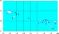
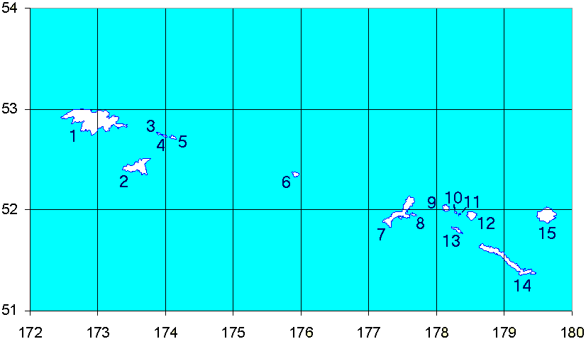
Karte der West-Aleuten
2 - Agattu Island -
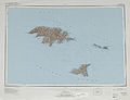
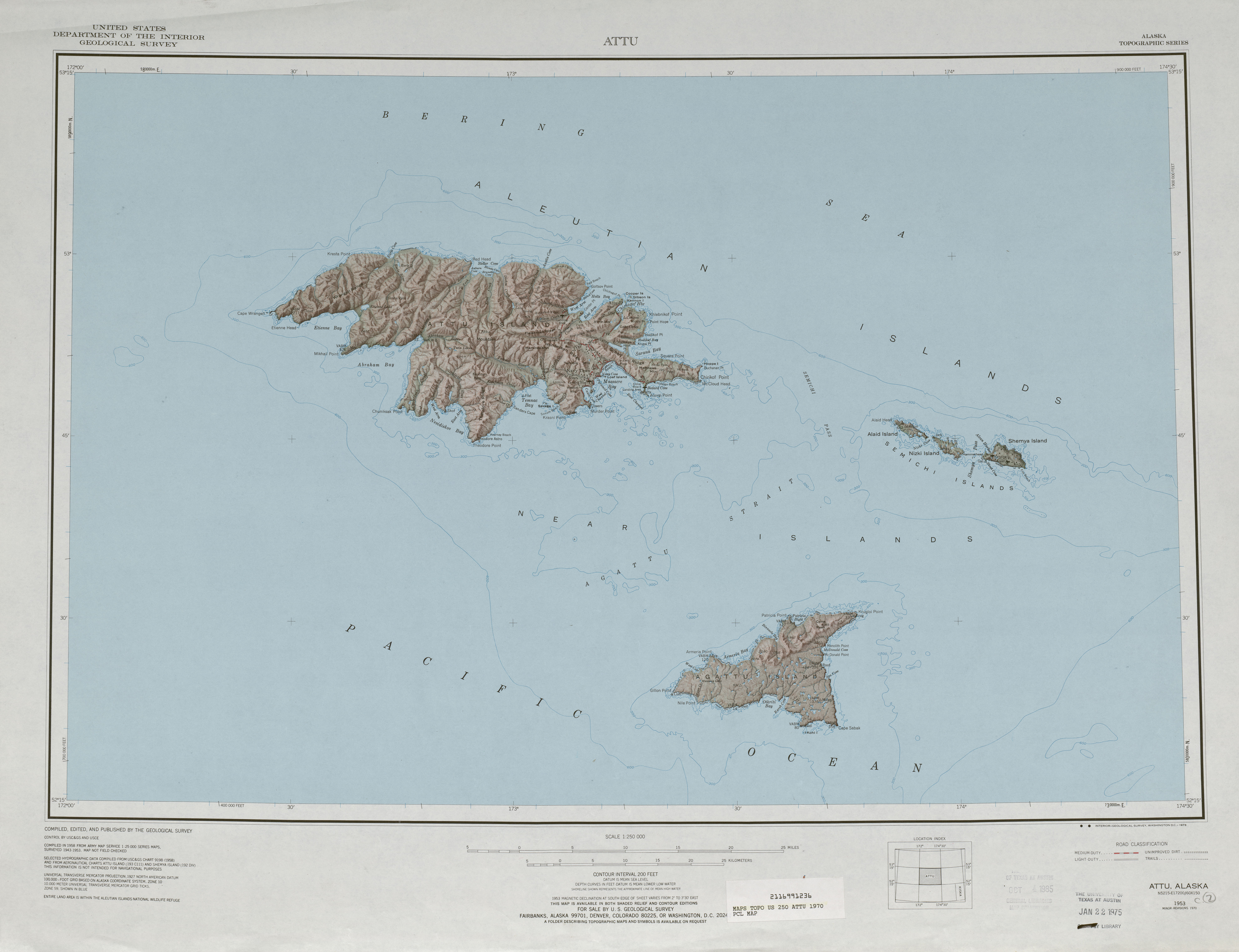
Topographisches Kartenblatt
-
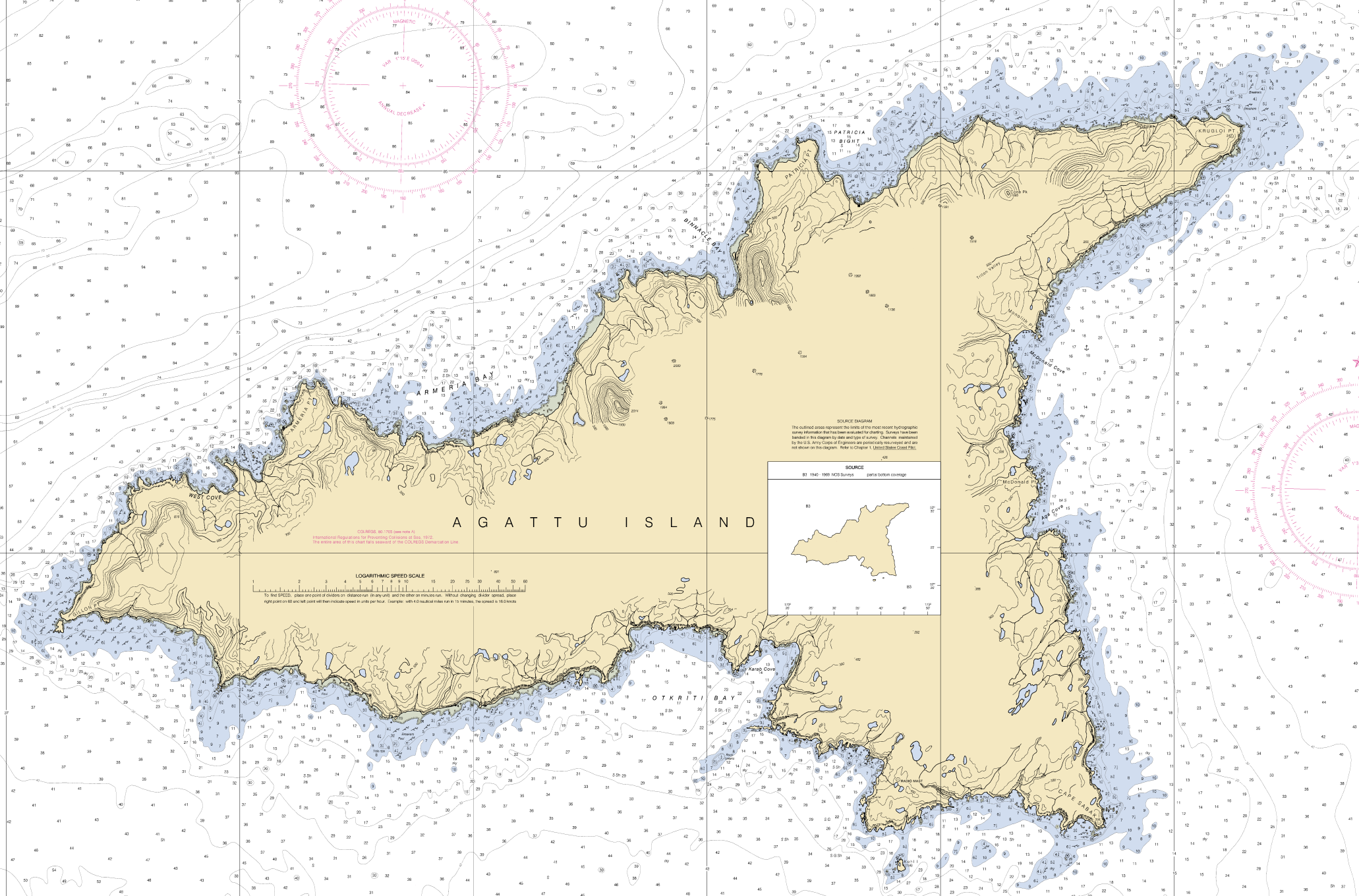
Seekarte von Agattu
Einzelnachweise
- ↑ http://iba.audubon.org/iba/viewSiteProfile.do?siteId=1008&navSite=state
- ↑ http://www.gi.alaska.edu/ScienceForum/ASF17/1705.html
- ↑ http://www.gi.alaska.edu/ScienceForum/ASF18/1830.html
Weblinks
- Agattu Island: Block 1149, Census Tract 1, Aleutians West Census Area, Alaska United States Census Bureau
- Schneehuhn
- Luftaufnahme
Inseln der Near IslandsAgattu | Alaid | Attu | Cooper Islands | Gibson Islands | Hammerhead | Hodikof | Kennon | Kohl | Loaf | Lotus | Nizki | Peaked | Savage | Semichi Islands | Shemya
Wikimedia Foundation.
Schlagen Sie auch in anderen Wörterbüchern nach:
Agattu — (Angatux̂ [Bergsland, K Aleut Dictionary Fairbanks: Alaska Native Language Center, 1994] in Aleut) is an island in the Near Islands in the western end of the Aleutian Islands. With a land area of 221.593 km² (85.558 sq mi) Agattu is one of the… … Wikipedia
Agattu — Saltar a navegación, búsqueda Mapa de las Islas Aleutianas occidentales. Agattu está marcada con el 2. Agattu es una isla localizada en el archipiélago de las islas Near, en el extremo occidental de las Islas Aleutianas, pertenecientes a Al … Wikipedia Español
Isla Agattu — Mapa de las Islas Aleutianas occidentales. Agattu está marcada con el 2. Agattu es una isla localizada en el archipiélago de las islas Near, en el extremo occidental de las Islas Aleutianas, pertenecientes a Alaska. Con una superficie de 221,593… … Wikipedia Español
Attu Island — Dieser Artikel oder Abschnitt ist nicht hinreichend mit Belegen (Literatur, Webseiten oder Einzelnachweisen) versehen. Die fraglichen Angaben werden daher möglicherweise demnächst gelöscht. Hilf Wikipedia, indem du die Angaben recherchierst und… … Deutsch Wikipedia
Kohl Island — Vorlage:Infobox Insel/Wartung/Bild fehltVorlage:Infobox Insel/Wartung/Fläche fehltVorlage:Infobox Insel/Wartung/Höhe fehlt Kohl Island Gewässer Beringmeer Inselgruppe Near Islands … Deutsch Wikipedia
Nunivak Island — Nunivak Maskette – Nunivak … Wikipedia
Medny Island — Map showing position of Commander Islands to the east of Kamchatka. The smaller island in the east is Medny and the larger island is Bering Island. Medny Island (also spelled Mednyy, Russian: остров Медный, sometimes called Copper Island in… … Wikipedia
Nelson Island (Alaska) — Nelson Native name: Qaluyaaq … Wikipedia
Unalaska Island — Unalaska Native name: Nawan Alaxsxa[1] Map of the island … Wikipedia
Nizki Island — Vorlage:Infobox Insel/Wartung/Fläche fehlt Nizki Island Karte von Nizki Island Gewässer Nordpazifik … Deutsch Wikipedia
-
Agattu Island


18+
© Academic, 2000-2026
- Kontaktieren Sie uns: Unterstützung, Werbung
Wörterbücher Export, schritte mit PHP, Joomla, Drupal, WordPress, MODx.