- Huntington (West Virginia)
-
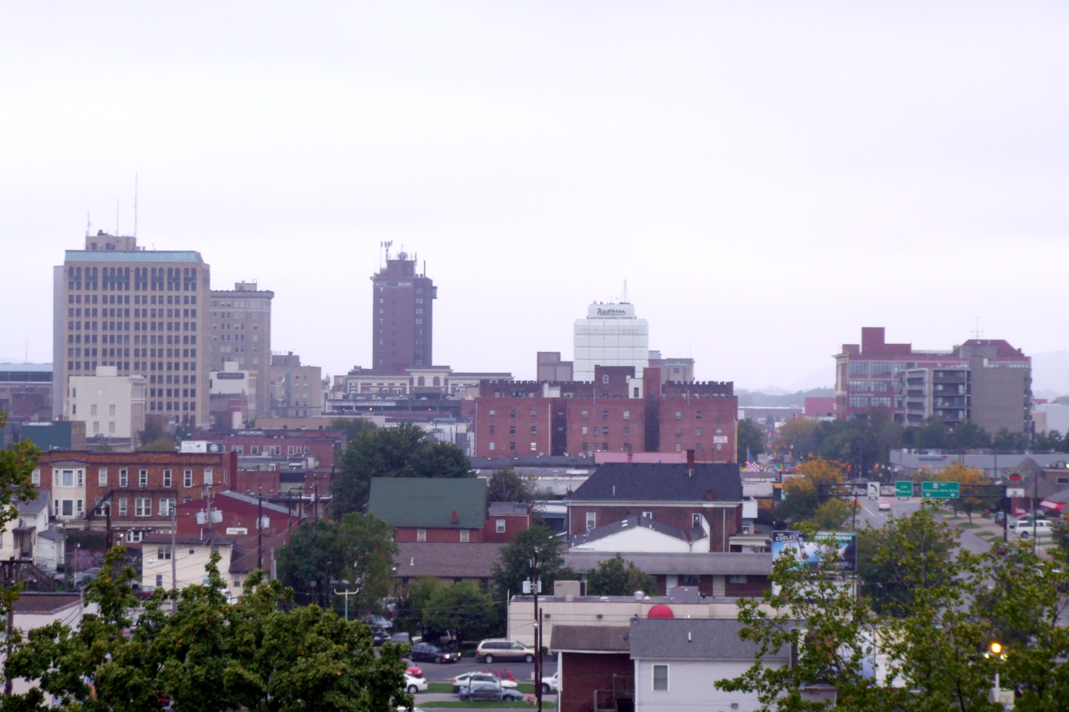
Huntington Spitzname: The Jewel City, The River City 
Sicht auf HuntingtonLage in West Virginia 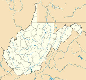

Huntington Basisdaten Gründung: 1785 Staat: Vereinigte Staaten Bundesstaat: West Virginia Countys: Koordinaten: 38° 25′ N, 82° 26′ W38.413033333333-82.433641666667252Koordinaten: 38° 25′ N, 82° 26′ W Zeitzone: Eastern Standard Time (UTC−5) Einwohner: 49.007 (Stand: 2006) Bevölkerungsdichte: 1.189,5 Einwohner je km² Fläche: 46,6 km² (ca. 18 mi²)
davon 41,2 km² (ca. 16 mi²) LandHöhe: 252 m Vorwahl: +1 304 FIPS: 54-39460 GNIS-ID: 1540605 Webpräsenz: www.cityofhuntington.com Bürgermeister: Kim Wolfe 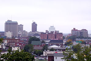
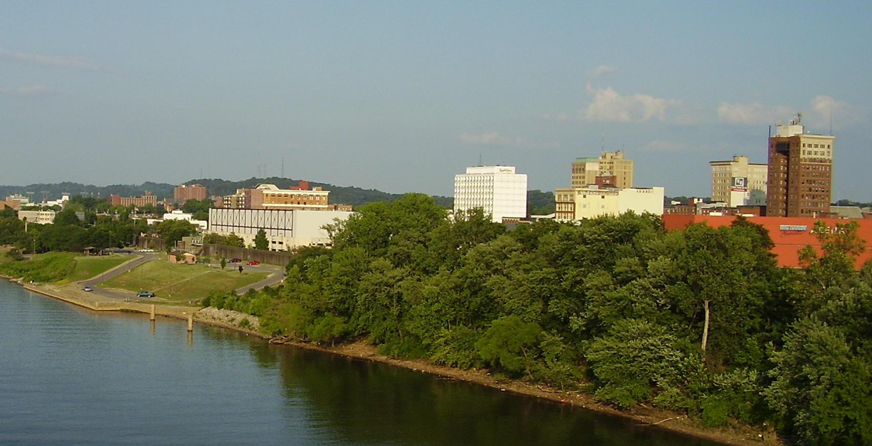
Blick von der Marshall University auf die StadtHuntington ist die zweitgrößte Stadt im US-Bundesstaat West Virginia und Sitz der Countyverwaltung (County Seat) von Cabell County. Der Ort wurde nach Collis P. Huntington benannt, der die Stadt im Jahr 1870 als Westende der Chesapeake and Ohio Railway gründete, und beherbergt unter anderem die Marshall University und mehrere Museen wie das Huntington Museum of Art. Mit der Nachbarstadt Proctorville im Bundesstaat Ohio ist Huntington über die East End Bridge verbunden, welche über den Ohio River führt.
Die Stadt erreichte in den 1950er Jahren aufgrund ihres wirtschaftlichen Wachstums durch Kohlebergbau sowie durch Unternehmen der chemischen und der Stahlindustrie eine Bevölkerungszahl von rund 86.000 Einwohnern. Mit dem Rückgang der Bedeutung von Kohle als Energieträger und der Bahn als Transportmittel verlor Huntington jedoch einen erheblichen Teil seiner industriellen Basis, wodurch auch die Einwohnerzahl seit dem Beginn der 1960er Jahre kontinuierlich sank. Gegenwärtig ist die Bevölkerungs- und Arbeitssituation in der Stadt außer durch die verbliebenen Stahlunternehmen insbesondere von den ansässigen Krankenhäusern, welche neben der Stadt auch deren ländliches Umfeld versorgen, und der Universität geprägt.
In der Nähe von Huntington kam es 1970 zum schwerwiegendsten Unglück in der Geschichte des amerikanischen Hochschulsports, als ein Flugzeug mit den Spielern des Footballteams der Marshall University abstürzte. Die Ereignisse um diese Katastrophe waren die Vorlage für den McG-Film Sie waren Helden mit Matthew McConaughey und Robert Patrick. Die Dreharbeiten im Jahr 2006 fanden unter anderem in Huntington statt.
Inhaltsverzeichnis
Einwohnerentwicklung
Jahr Einwohner[1] 1980 63.684 1990 54.844 2000 51.475 2005 49.198 Söhne und Töchter der Stadt
Geburtsjahr Name Sterbejahr Beruf 1921 Harold Franklin Hawkins (Hawkshaw Hawkins) 1963 Country-Sänger 1928 Ernie Farrow 1969 Jazz-Bassist 1934 Wade Legge 1963 Jazz-Pianist 1936 Harold Everett Greer (Hal Greer) Basketballspieler 1950 Bradford Claude Dourif (Brad Dourif) Schauspieler 1979 Joshua Harto Schauspieler 1987 Ovinton J'Anthony Mayo (O. J. Mayo) Basketballspieler 1987 William Henry Walker (Bill Walker) Basketballspieler Quellen
- ↑ 1980 - 2000: Volkszählungsergebnisse; 2005 : Fortschreibung des US Census Bureau
Weblinks
 Commons: Huntington, West Virginia – Sammlung von Bildern, Videos und AudiodateienKategorien:
- Ort in West Virginia
- County Seat in West Virginia

Wikimedia Foundation.