- Hârtibaciu
-
Hârtibaciu (Harbach) 
Der Harbach in Rumänien
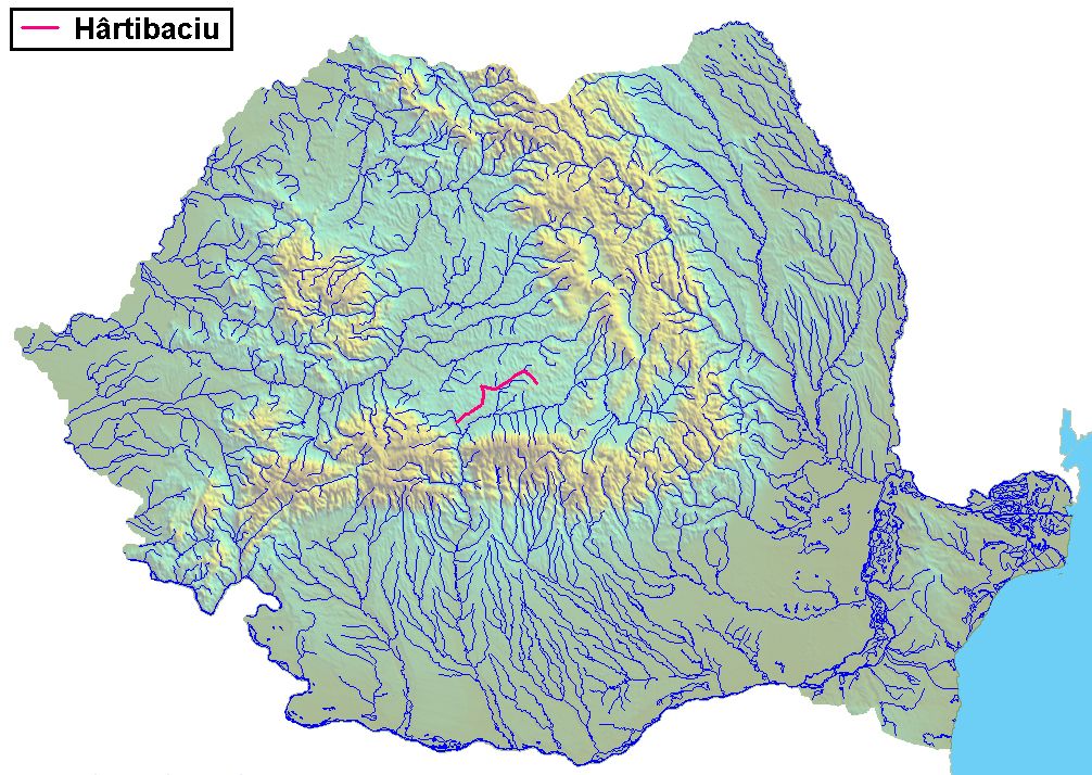
Daten Lage Siebenbürgen (Rumänien) Flusssystem Donau Quelle Bei Bărcuț Mündung Bei Mohu in den Cibin 45.7338524.23795Koordinaten: 45° 44′ 2″ N, 24° 14′ 17″ O
45° 44′ 2″ N, 24° 14′ 17″ O45.7338524.23795Länge 88,2 km Kleinstädte Agnita Gemeinden Bărcuț (dt. Bekokten)
Retiș (Retersdorf)
Brădeni (Henndorf)
Netuș (Neithausen)
Noiștat (Neustadt)
Benești (Bägendorf)
Altina (Alzen)
Nocrich (Leschkirch)
Hosman (Holzmengen)
Cornățel (Harbachdorf)
Cașolț (Kastenholz)
Mohu (Moichen)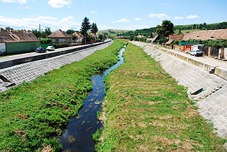
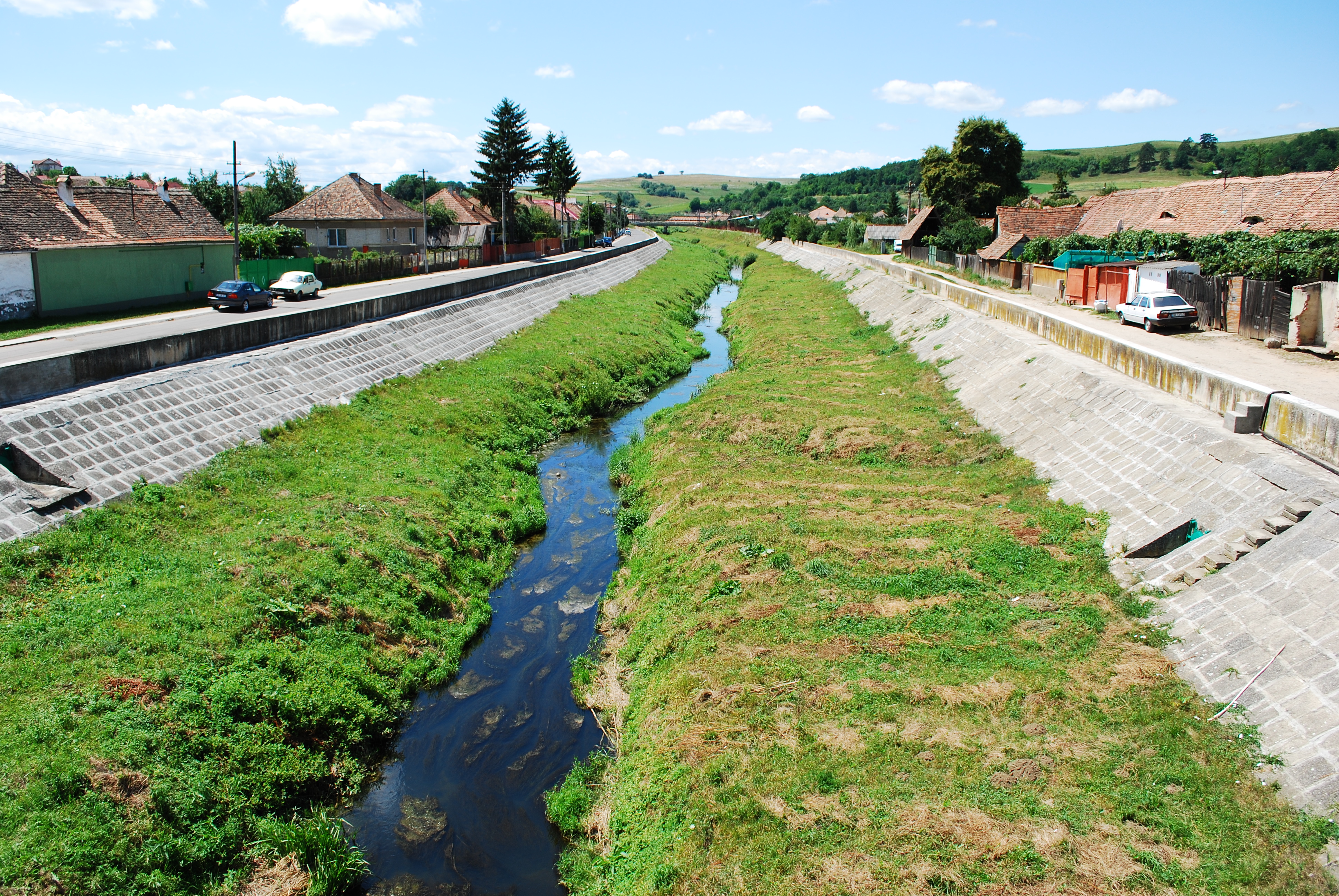
Der Harbach in Agnita
Der Harbach (rum.: Hârtibaciu, ung.: Hortobágy folyó) ist ein Fluss in Siebenbürgen (Rumänien). Er entspringt in dem Siebenbürgischen Hochland bei Bekokten (rum. Bărcuț, ung. Báránykút, wörtlich Lammsbrunnen) und mündet nach 88,2 km in den Cibin.Region
In der Gegend um den Harbach siedelten sich unter König Géza II. (1142-1162) die ersten Theutonici (Deutschen) an. Das Harbachtal ist von den vielen dort gelegenen Kirchenburgen geprägt.
Siehe auch
Kategorien:- Fluss in Europa
- Fluss in Rumänien
- Fluss in Siebenbürgen
- Flusssystem Donau
- Siebenbürgen
Wikimedia Foundation.