- Stortford
-

Bishop’s Stortford Lage von Bishop’s StortfordBishop’s Stortford ist eine Stadt in England mit ca. 35.000 Einwohnern. Die Stadt liegt in der Grafschaft Hertfordshire, rund 50 Kilometer nordöstlich von London entfernt. Hier befindet sich der Verwaltungssitz des Distrikts East Hertfordshire. Wenige Kilometer östlich der Stadt befindet sich der Flughafen London-Stansted. Zwischen Bishop’s Stortford, Villiers-sur-Marne und Friedberg (Hessen) besteht eine Städtepartnerschaft.
Inhaltsverzeichnis
Geschichte
Die Römer errichteten eine kleine Siedlung an der Stane Street, der Römerstraße zwischen London und Colchester. Die Siedlung wurde nach dem Zerfall des Römischen Reiches aufgegeben. An ihrer Stelle entstand später eine Siedlung der Angelsachsen. Als das Domesday Book im Jahr 1086 geschrieben wurde, zählte der Ort rund 120 Einwohner. Den Zusatz „Bishop’s“ erhielt er deshalb, weil er im Mittelalter im Besitz des Bischofs von London war.
Die Entwicklung des Städtchens wurde begünstigt durch das Vorhandensein von Straßen, dem nahe gelegenen Fluss Stort und der Durchführung eines wöchentlichen Marktes. Nach 1769 wurde der Fluss schiffbar gemacht, kurz darauf wurde das Städtchen ein Haltepunkt der Postkutschenlinie zwischen Cambridge und London. Im Jahr 1828 erhielt Bishop’s Stortford eine Getreidebörse. Die Mälzerei war der wichtigste Industriezweig. Die Eisenbahn wurde 1842 eröffnet.
Im Jahr 1901 betrug die Einwohnerzahl 7000 und stieg innerhalb von fünfzig Jahren auf 13.000 an. In der zweiten Hälfte des 20. Jahrhunderts war das Wachstum noch ausgeprägter. Die Eröffnung der Motorway M11 und des Flughafens Stansted trugen dazu bei, dass Bishop’s Stortford immer stärker in den Einzugsbereich des Großraums London geriet und heute eine Pendlerstadt ist.
Das neue Stadtzentrum inmitten des historischen Stadtzentrums bietet einen architektonisch ansprechenden Gebäudekomplex in Glas- und mattierter Edelstahloptik. Eröffnet im Mai 2007, beherbergt es den neuen Sainsbury Superstore sowie eine Filiale des Modelabels NEXT.
Persönlichkeiten
- Frederick Scott Archer (1813–1857), Fotopionier, Erfinder der Kollodium-Nassplatte
- Cecil Rhodes (1853–1902), Gründer von Rhodesien, De Beers und der Rhodes-Stiftung
- Minette Walters (* 1949), Schriftstellerin, Krimi-Autorin
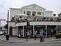
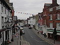
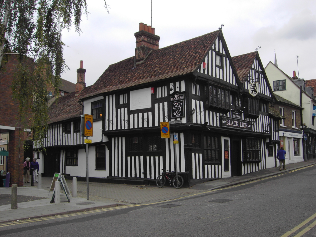
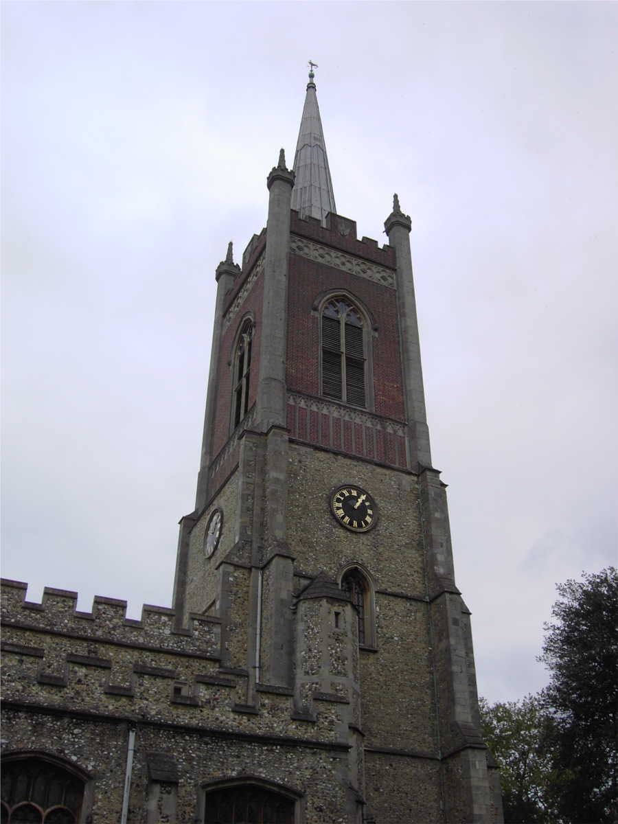
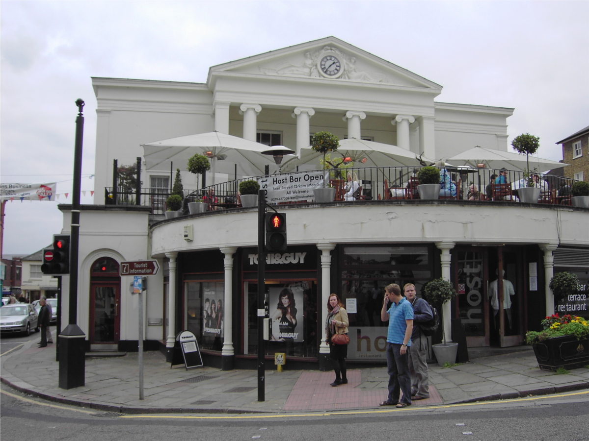
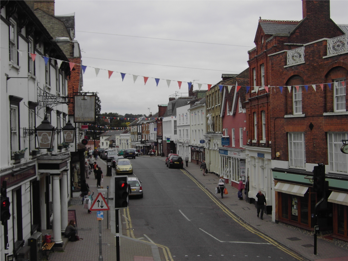
Fotos
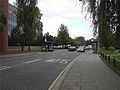
Link Road
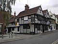
Englisches Pub in der Bridge Street
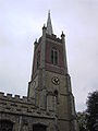
St. Michael’s Church
Ein beliebtes Café im Stadtzentrum
Basbow Lane
Weblinks
- Bishop’s Stortford Town Council (Stadtverwaltung)
51.8680555555560.16194444444446Koordinaten: 51° 52′ N, 0° 10′ O


Wikimedia Foundation.