- Yalobusha River
-
Yalobusha River 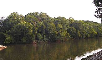
Der Fluss unterhalb des Grenada-Dammes
Daten Lage Mississippi (Bundesstaat) Flusssystem Mississippi River Abfluss über Yazoo River → Mississippi River → Golf von Mexiko Quelle Chickasaw County
34° 0′ 7″ N, 89° 6′ 50″ W34.0020541-89.1139546Zusammenfluss in Greenwood mit dem Tallahatchie River zum Yazoo River 33.552285757299-90.180695056915Koordinaten: 33° 33′ 8″ N, 90° 10′ 51″ W
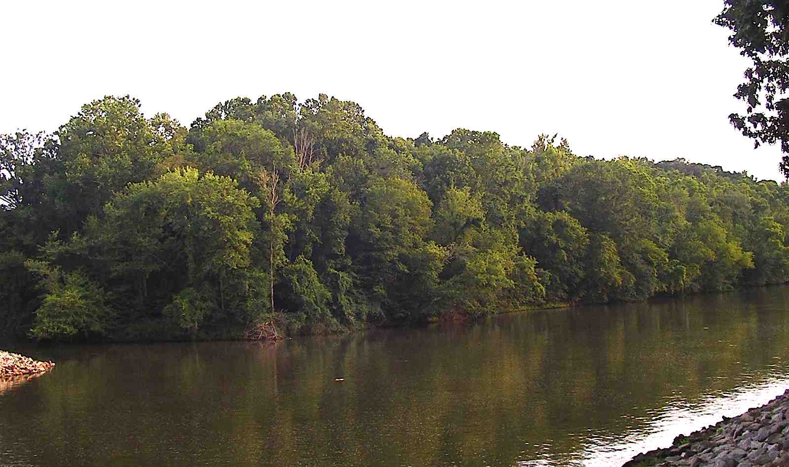
33° 33′ 8″ N, 90° 10′ 51″ W33.552285757299-90.180695056915Länge 266 km Rechte Nebenflüsse Skuna River Durchflossene Stauseen Grenada Lake Der Yalobusha River gehört zum Einzugsgebiet des Mississippi. Er entspringt nordwestlich der Stadt Houston im Chickasaw County im Nordosten des US-Bundesstaates Mississippi. Er durchfließt in südwestlicher Richtung die Counties Calhoun und Grenada, bevor er sich in der Stadt Greenwood im Leflore County mit dem Tallahatchie River zum Yazoo River vereinigt.
Der größte Teil seines Laufes durch den County Calhoun ist begradigt und kanalisiert worden. Dieser Teil des Flusses ist auch als Yalobusha River Canal bekannt. Im angrenzenden Grenada County ist der Fluss durch einen vom United States Army Corps of Engineers errichteten Damm zum Grenada Lake aufgestaut worden. In diesen mündet der größte Nebenfluss, der Skuna River.
Weblinks
- GNIS Detail Yalobusha River beim USGS
Wikimedia Foundation.