- Amravati (Division)
-
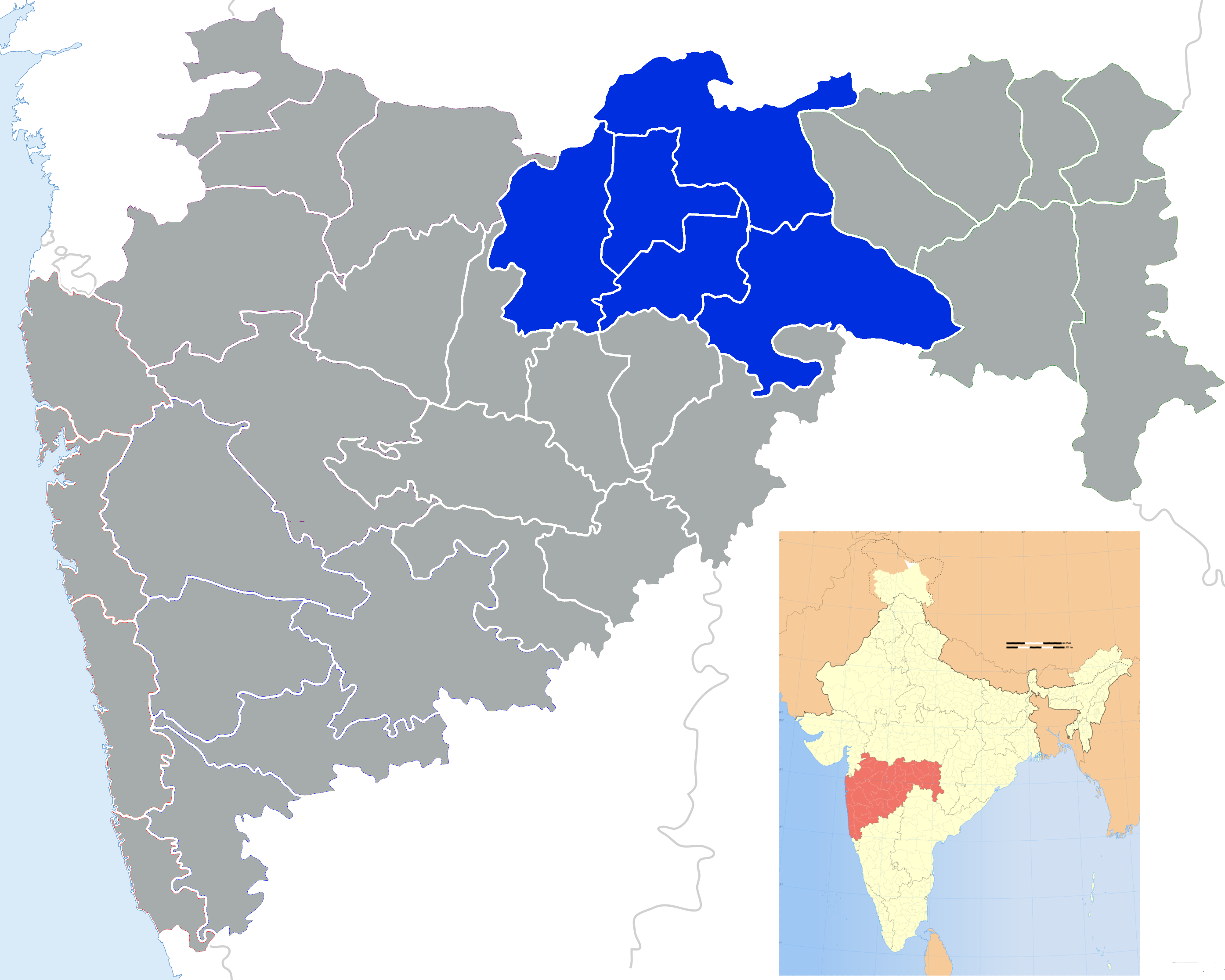
Amravati Division
अमरावती विभाग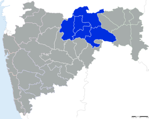
Bundesstaat: Maharashtra Verwaltungssitz: Fläche: 46.090 km² Einwohner: 9.941.903 Bevölkerungsdichte: 216 Einwohner/km² Distrikte: 5 Amravati ist eine Division im indischen Bundesstaat Maharashtra.
Geschichte
Die Division deckt sich ungefähr mit der ehem. Provinz Berar, die 1803 zum Staat Hyderabad kam. Seit 1853 wurde das Gebiet von den Briten verwaltet, die es 1903 den Central Provinces angliederten. Nach der Unabhängigkeit Indiens wurde das Gebiet zunächst Madhya Pradesh zugeordnet; 1956 erfolgte eine neue Grenzziehung nach linguistischen Gesichtspunkten. Dabei wurde das Gebiet dem Staat Bombay zugeordnet, zu dem es bis zu seiner Aufspaltung in Gujarat und Maharashtra im Jahre 1960 gehörte.
Distrikte
Die Division Amravati gliedert sich in fünf Distrikte:
Distrikt Hauptstadt Fläche in km² Einwohner (Stand: 2001) Bev.-Dichte in E/km² Akola Akola 5.431 1.630.239 301 Amravati Amravati 12.235 2.606.063 213 Buldhana Buldhana 9.640 Washim Washim 5.150 1.020.216 276 Yavatmal Yavatmal 13.584 2.460.482 181 Amravati | Aurangabad | Konkan | Nagpur | Nashik | Pune
Wikimedia Foundation.