- Huncovce
-
Huncovce
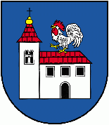
Wappen Karte 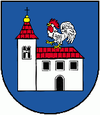
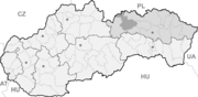

Huncovce BasisdatenKraj: Prešovský kraj Okres: Kežmarok Region: Spiš Fläche: 13,262 km² Einwohner: 2.646 (31. Dez. 2010) Bevölkerungsdichte: 199,52 Einwohner je km² Höhe: 639 m n.m. Postleitzahl: 059 92 Telefonvorwahl: 0 52 Geographische Lage: 49° 7′ N, 20° 23′ O49.11666666666720.383333333333639Koordinaten: 49° 7′ 0″ N, 20° 23′ 0″ O Kfz-Kennzeichen: KK Gemeindekennziffer: 523526 StrukturGemeindeart: Gemeinde Verwaltung (Stand: November 2010)Bürgermeister: Jozef Majerčák Adresse: Obecný úrad Huncovce
Hlavná 29
05992 HuncovceWebpräsenz: www.huncovce.sk Gemeindeinformation
auf portal.gov.skStatistikinformation
auf statistics.skHuncovce (deutsch Hunsdorf, ungarisch: Hunfalva - bis 1902 Hunfalu) ist eine Gemeinde in der Slowakei. Sie ist in der Oberzips, acht km nordöstlich von Poprad an der Straße nach Kežmarok gelegen. Der Ort befindet sich im Okres Kežmarok.
Geschichte
Eine erste Siedlung aus der La-Tène-Zeit gehörte zur Púchov-Kultur. Erstmals urkundlich erwähnt wurde das Dorf 1257 als villa Supch.
Die im 12. Jahrhundert im romanischem Stile erbaute Kirche wurde im 14. und 15. Jahrhundert im Stil der Gotik umgebaut. Vom 18. Jahrhundert bis zum Ersten Weltkrieg gab es eine Rabbiner-Schule.
Persönlichkeiten
- Ernst Bethlenfalvy (um 1880 – 1955); Zoologe und Naturforscher [1]
Einzelnachweise
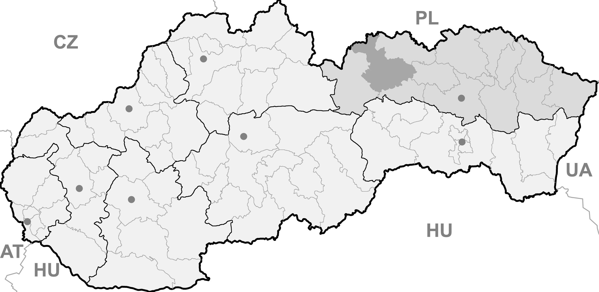
Gemeinden im Okres KežmarokAbrahámovce (Abrahamsdorf) | Bušovce (Bauschendorf) | Červený Kláštor | Havka (Haffke) | Holumnica (Hollomnitz) | Hradisko (Kuntschhöfchen) | Huncovce (Hunsdorf) | Ihľany | Jezersko (Teichenau) | Jurské (Sankt Girgen) | Kežmarok (Käsmark) | Krížová Ves (Kreuz) | Lechnica (Lechnitz) | Lendak (Landeck) | Ľubica (Leibitz) | Majere (Oberschwaben) | Malá Franková (Kleinfrankenau) | Malý Slavkov (Kleinschlagendorf) | Matiašovce (Matshaus) | Mlynčeky (Mühlerchen) | Osturňa (Asthorn) | Podhorany (Maltern) | Rakúsy (Roks) | Reľov (Rillen) | Slovenská Ves (Windschendorf) | Spišská Belá (Zipser Bela) | Spišská Stará Ves (Altendorf) | Spišské Hanušovce (Henschau) | Stará Lesná (Altwalddorf) | Stráne pod Tatrami (Forberg) | Toporec (Topporz) | Tvarožná (Durelsdorf) | Veľká Franková (Großfrankenau) | Veľká Lomnica (Großlomnitz) | Vlková (Farksdorf) | Vlkovce (Kunzendorf) | Vojňany (Kreig) | Vrbov (Menhardsdorf) | Výborná (Bierbrunn) | Zálesie (Giebel) | Žakovce (Eisdorf)
Wikimedia Foundation.
Schlagen Sie auch in anderen Wörterbüchern nach:
HUNCOVCE — (Ger. Hunsdorf; Hg. Hunfalu), village in N.E. Slovakia; until 1992 Czechoslovak Republic, since then Slovak Republic, seat of a famous yeshivah. It is located in the region of Spiš (Ger. Zips, Hg. Szepes), settled densely by Germans (Schwabes).… … Encyclopedia of Judaism
Huncovce — (Village) Administration Pays Slovaquie … Wikipédia en Français
Huncovce — WEBSITE: www.huncovce.skHuncovce ( hu. Hunfalva, de. Hunsdorf) is a village and municipality in Kežmarok District in the Prešov Region of north Slovakia.HistoryIn historical records the village was first mentioned in 1257.GeographyThe… … Wikipedia
Prešov Region — Geobox | Region name = Prešov category = Region image caption = image caption = symbol = symbol type = etymology = official name = motto = nickname = country = Slovakia country state = region = district = commune = municipality = border = part… … Wikipedia
Vysoké Tatry (town) — Coordinates: 49°08′51″N 20°13′39″E / 49.1475°N 20.2275°E / 49.1475; 20.2275 … Wikipedia
Kežmarok District — District Country Slovakia … Wikipedia
List of municipalities and towns in Slovakia — Slovakia This is a comprehensive list of municipalities and towns in Slovakia. For lists of towns and municipalities sorted by Regions see the individual articles on Regions. For an outdated list of towns only in Slovakia see also List of towns… … Wikipedia
Červený Kláštor — Coordinates: 49°24′N 20°25′E / 49.4°N 20.417°E / 49.4; 20.417 … Wikipedia
Majere, Kežmarok District — Location of Kežmarok District in the Nitra region Majere (Hungarian: Ómajor, German: Oberschwaben) is a small village and tiny municipality in Kežmarok District in the Prešov Region of north Slovakia … Wikipedia
Matiašovce — Location of Kežmarok District in the Nitra region … Wikipedia
Huncovce
18+
© Academic, 2000-2026
- Kontaktieren Sie uns: Unterstützung, Werbung
Wörterbücher Export, schritte mit PHP, Joomla, Drupal, WordPress, MODx.