- Liste von Vulkanen in Tonga
-
Dies ist eine Liste von Vulkanen in Tonga, die während des Quartärs mindestens einmal aktiv waren.
Bild Name Insel Vulkantyp Letzte Eruption Höhe [m] Geokoordinaten Curacoa Submariner Vulkan 1979 -33 15° 37′ 00″ S, 173° 40′ 00″ W-15.616666666667-173.66666666667-33 Fonuafoʻou (Falcon Island) Submariner Vulkan 1936 -17 20° 19′ 00″ S, 175° 25′ 00″ W-20.316666666667-175.41666666667-17 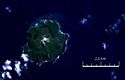
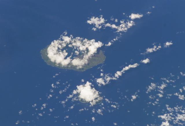
Fonualei Schichtvulkan 1957 180 18° 01′ 00″ S, 174° 19′ 30″ W-18.016666666667-174.325180 
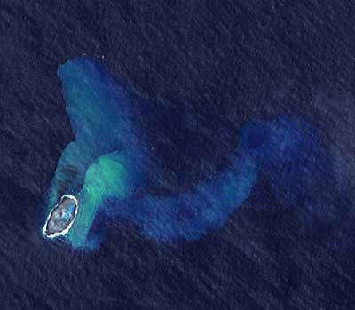
Home Reef Submariner Vulkan 2006 -10 18° 59′ 30″ S, 174° 46′ 30″ W-18.991666666667-174.775-10 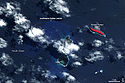
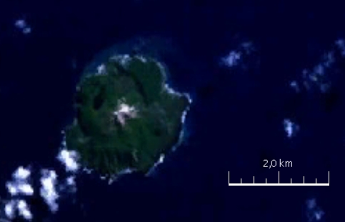
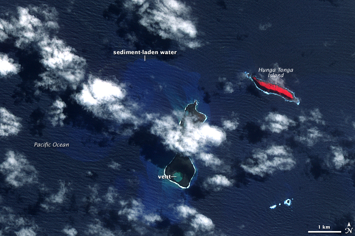
Hunga Tonga-Hunga Ha'apai Hunga Tonga, Hunga Ha'apai Submariner Vulkan 2009 149 20° 34′ 00″ S, 175° 23′ 00″ W-20.566666666667-175.38333333333149 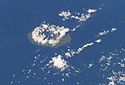
Kao Schichtvulkan unbekannt 1030 19° 40′ 00″ S, 175° 02′ 00″ W-19.666666666667-175.033333333331030 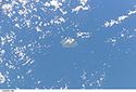
Late Schichtvulkan 1854 540 18° 48′ 20″ S, 174° 39′ 00″ W-18.805555555556-174.65540 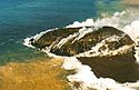
Metis Shoal Schichtvulkan 1995 43 19° 11′ 00″ S, 174° 52′ 00″ W-19.183333333333-174.8666666666743 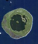
Niuafoʻou Schildvulkan 1985 260 15° 36′ 00″ S, 175° 38′ 00″ W-15.6-175.63333333333260 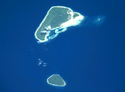
Tafahi Schichtvulkan unbekannt 560 15° 51′ 00″ S, 173° 43′ 00″ W-15.85-173.71666666667560 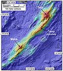
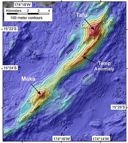
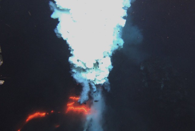
Tafu-Maka Submariner Vulkan 2008 -1400 15° 22′ 00″ S, 174° 14′ 00″ W-15.366666666667-174.23333333333-1400 
Tofua Caldera 2009 515 19° 45′ 00″ S, 175° 04′ 00″ W-19.75-175.06666666667515 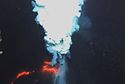
West Mata Submariner Vulkan 2009 -1174 15° 06′ 00″ S, 173° 45′ 00″ W-15.1-173.75-1174 unbenannt Submariner Vulkan unbekannt -385 24° 48′ 00″ S, 177° 01′ 00″ W-24.8-177.01666666667-385 unbenannt Submariner Vulkan 1932 -500 21° 23′ 00″ S, 175° 39′ 00″ W-21.383333333333-175.65-500 unbenannt Submariner Vulkan unbekannt -65 21° 09′ 00″ S, 175° 45′ 00″ W-21.15-175.75-65 unbenannt Submariner Vulkan 1999 -13 20° 51′ 00″ S, 175° 32′ 00″ W-20.85-175.53333333333-13 unbenannt Submariner Vulkan 2001 -40 18° 19′ 29″ S, 174° 21′ 55″ W-18.324722222222-174.36527777778-40 Siehe auch
Weblinks
- Volcanoes of the World » Volcanoes of New Zealand to Fiji » Tonga Islands Unterseite der Homepage des Global Volcanism Program der Smithsonian Institution


Wikimedia Foundation.