- Pohorelá
-
Pohorelá
Wappen Karte 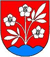
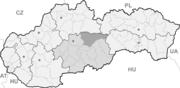

Pohorelá BasisdatenKraj: Banskobystrický kraj Okres: Brezno Region: Horehronie Fläche: 46,940 km² Einwohner: 2.357 (31. Dez. 2010) Bevölkerungsdichte: 50,21 Einwohner je km² Höhe: 764 m n.m. Postleitzahl: 976 69 Telefonvorwahl: 0 48 Geographische Lage: 48° 52′ N, 20° 1′ O48.86527777777820.018333333333764Koordinaten: 48° 51′ 55″ N, 20° 1′ 6″ O Kfz-Kennzeichen: BR Gemeindekennziffer: 508870 StrukturGemeindeart: Gemeinde Gliederung Gemeindegebiet: 2 Gemeindeteile Verwaltung (Stand: April 2011)Bürgermeister: Jozef Kalman Adresse: Obecný úrad Pohorelá
Nová 392
976 69 PohoreláWebpräsenz: www.pohorela.sk Gemeindeinformation
auf portal.gov.skStatistikinformation
auf statistics.skPohorelá (deutsch Pohorella, ungarisch seit 1913 Koháryháza, 1907–13 Garamkohó, bis 1907 Pohorella) ist eine Gemeinde im Okres Brezno innerhalb des Banskobystrický kraj in der Slowakei mit etwa 2.400 Einwohnern.
Geographie
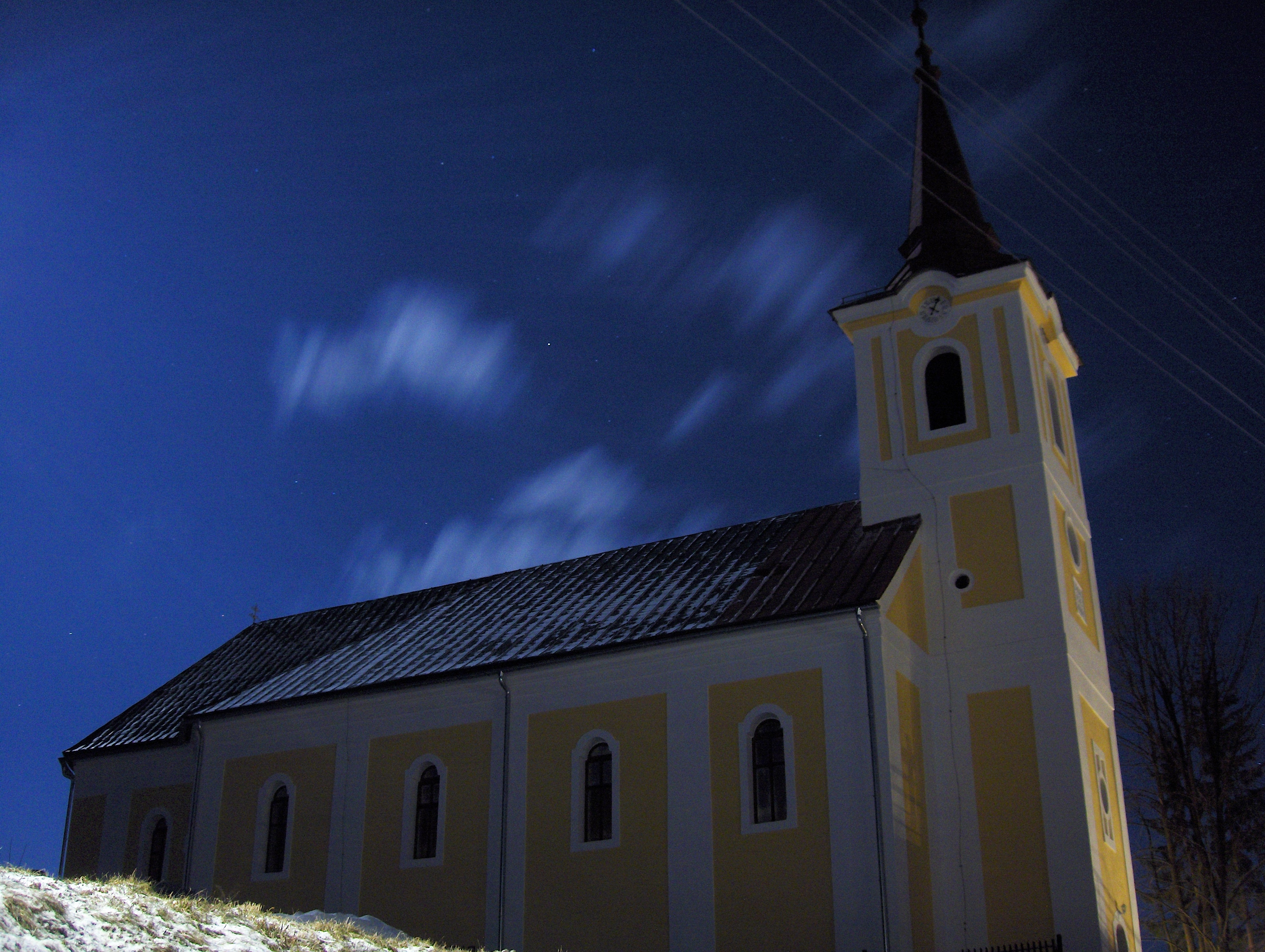
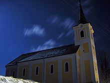 Kirche der Schmerzensmutter Maria im Ort
Die Gemeinde liegt in der Region Horehronie („Oberes Grantal“) und befindet sich auf der rechten Seite des Hron an den Bächen Pohorelka und Kompanica. Nördlich des Ortes erhebt sich die Niedere Tatra unter dem Berg Orlova hoľa (1.840 m n.m.), auf der anderen Seite südlich des Flusses ist es die Muránska planina. Pohorelá ist 32 Kilometer von Brezno und 48 Kilometer von Poprad entfernt.
Geschichte
Der Ort entstand im 17. Jahrhundert durch wallachische Kolonisierung auf dem Herrschaftsgut der Burg Muráň und wird zum ersten Mal 1612 erwähnt. Zuvor es gibt keine Nachweise über eine dauerhafte Ansiedlung. Die Einwohner waren in Vieh- und Schafzucht, Forstwirtschaft und Köhlerei tätig. Ende 18. Jahrhunderts entstanden im heutigen Gemeindeteil Pohorelská Maša eine Eisenhütte und ein Hammerwerk.
Bacúch | Beňuš (Beneschau) | Braväcovo | Brezno (Bries[en]) | Bystrá | Čierny Balog (Schwarzwasser) | Dolná Lehota | Drábsko | Heľpa (Helpach an der Gran) | Horná Lehota | Hronec (Rhonitz) | Jarabá | Jasenie | Lom nad Rimavicou | Michalová | Mýto pod Ďumbierom (Mauth) | Nemecká (Deutschendorf an der Gran) | Osrblie (Zährenbach) | Podbrezová | Pohorelá (Pohorella) | Pohronská Polhora | Polomka | Predajná | Ráztoka | Sihla (Siegelglashütte) | Šumiac | Telgárt (Thiergarten) | Valaská | Vaľkovňa (Ferdinandsthal) | Závadka nad Hronom

Wikimedia Foundation.